Blue Mountain Forest State Scenic Corridor
Leave a RatingLast Updated: February 18, 2026
Blue Mountain Forest State Scenic Corridor is a popular destination located in the Umatilla National Forest of northeastern Oregon.
Summary
The area is known for its beautiful natural scenery, including stunning views of the Blue Mountains and the Umatilla River.
There are several reasons why visitors might choose to explore the Blue Mountain Forest State Scenic Corridor. Hiking is a popular activity in the area, with several trails available for all skill levels. The Umatilla River also offers opportunities for fishing, boating, and swimming. In addition, the area is well-known for its wildlife, including deer, elk, and various bird species.
Some of the specific points of interest within the Blue Mountain Forest State Scenic Corridor include the Umatilla River Trail, which runs for 4.2 miles and offers scenic views of the river and surrounding mountains. There are also several picnic areas throughout the area, as well as opportunities for camping and RV parking.
Interesting facts about the Blue Mountain Forest State Scenic Corridor include that it was established in 1947 and covers over 1300 acres. The area is rich in history, with evidence of Native American settlements dating back thousands of years.
The best time of year to visit the Blue Mountain Forest State Scenic Corridor depends on what activities visitors are interested in. Spring and summer are popular for hiking and water activities, while fall is a great time for wildlife viewing and enjoying the changing colors of the leaves. Winter offers opportunities for snowshoeing and skiing.
Overall, the Blue Mountain Forest State Scenic Corridor is a beautiful and diverse area that offers something for everyone. Visitors can enjoy hiking, fishing, camping, and more, all while taking in the stunning natural scenery of northeastern Oregon.
°F
°F
mph
Wind
%
Humidity
15-Day Weather Outlook
5-Day Hourly Forecast Detail
Park & Land Designation Reference
Large protected natural areas managed by the federal government to preserve significant landscapes, ecosystems, and cultural resources; recreation is allowed but conservation is the priority.
State Park
Public natural or recreational areas managed by a state government, typically smaller than national parks and focused on regional natural features, recreation, and education.
Local Park
Community-level parks managed by cities or counties, emphasizing recreation, playgrounds, sports, and green space close to populated areas.
Wilderness Area
The highest level of land protection in the U.S.; designated areas where nature is left essentially untouched, with no roads, structures, or motorized access permitted.
National Recreation Area
Areas set aside primarily for outdoor recreation (boating, hiking, fishing), often around reservoirs, rivers, or scenic landscapes; may allow more development.
National Conservation Area (BLM)
BLM-managed areas with special ecological, cultural, or scientific value; more protection than typical BLM land but less strict than Wilderness Areas.
State Forest
State-managed forests focused on habitat, watershed, recreation, and sustainable timber harvest.
National Forest
Federally managed lands focused on multiple use—recreation, wildlife habitat, watershed protection, and resource extraction (like timber)—unlike the stricter protections of national parks.
Wilderness
A protected area set aside to conserve specific resources—such as wildlife, habitats, or scientific features—with regulations varying widely depending on the managing agency and purpose.
Bureau of Land Management (BLM) Land
Vast federal lands managed for mixed use—recreation, grazing, mining, conservation—with fewer restrictions than national parks or forests.
Related References
Area Campgrounds
| Location | Reservations | Toilets |
|---|---|---|
 Emigrant Springs Campground
|
||
 Emigrant Springs State Park
|
||
 Summit Guard Station
|
||
 Bird Track Springs Campground
|
||
 Bird Track Springs
|
||
 Pinchot Peak Camp
|

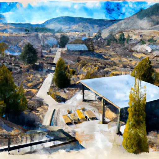 Emigrant Springs State Heritage Area
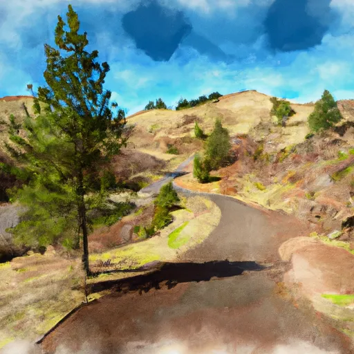 Hilgard Junction State Park
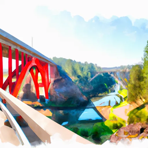 Red Bridge State Wayside