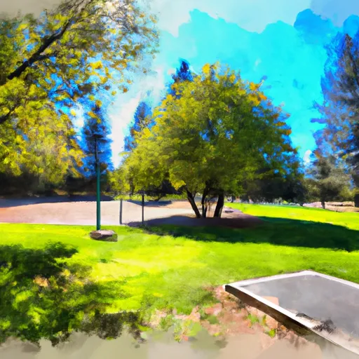
Pilot Butte State Scenic Viewpoint
Leave a RatingNearby: Woodland Pond Park Hollinshead Park
Last Updated: February 25, 2026
Pilot Butte State Scenic Viewpoint is a popular destination in Oregon for its panoramic views of Bend and the surrounding Cascade Mountains.
Summary
The butte rises 500 feet above the city and is easily accessible by car or hiking trails. Visitors can enjoy hiking, picnicking, wildlife spotting, and even paragliding.
One of the main attractions at Pilot Butte is the 360-degree view of the surrounding mountains and cityscape. On clear days, visitors can see Mount Bachelor, Mount Jefferson, and even Mount Hood. The butte is also home to a historic fire lookout tower, which was built in 1934 and used until the 1970s.
In addition to the stunning views, Pilot Butte is home to a variety of plant and animal species. Wildflowers bloom in the spring, and visitors may spot deer, coyotes, and a variety of birds. The butte is also a popular spot for paragliding, with launch sites at the top of the summit.
The best time to visit Pilot Butte is during the summer months, when the weather is warm and the wildflowers are in bloom. However, the butte is open year-round, and visitors can enjoy snowshoeing and cross-country skiing during the winter months.
Overall, Pilot Butte State Scenic Viewpoint offers a unique perspective of Bend and the surrounding landscape, making it a must-visit destination for outdoor enthusiasts and nature lovers in Oregon.
°F
°F
mph
Wind
%
Humidity
15-Day Weather Outlook
5-Day Hourly Forecast Detail
Park & Land Designation Reference
Large protected natural areas managed by the federal government to preserve significant landscapes, ecosystems, and cultural resources; recreation is allowed but conservation is the priority.
State Park
Public natural or recreational areas managed by a state government, typically smaller than national parks and focused on regional natural features, recreation, and education.
Local Park
Community-level parks managed by cities or counties, emphasizing recreation, playgrounds, sports, and green space close to populated areas.
Wilderness Area
The highest level of land protection in the U.S.; designated areas where nature is left essentially untouched, with no roads, structures, or motorized access permitted.
National Recreation Area
Areas set aside primarily for outdoor recreation (boating, hiking, fishing), often around reservoirs, rivers, or scenic landscapes; may allow more development.
National Conservation Area (BLM)
BLM-managed areas with special ecological, cultural, or scientific value; more protection than typical BLM land but less strict than Wilderness Areas.
State Forest
State-managed forests focused on habitat, watershed, recreation, and sustainable timber harvest.
National Forest
Federally managed lands focused on multiple use—recreation, wildlife habitat, watershed protection, and resource extraction (like timber)—unlike the stricter protections of national parks.
Wilderness
A protected area set aside to conserve specific resources—such as wildlife, habitats, or scientific features—with regulations varying widely depending on the managing agency and purpose.
Bureau of Land Management (BLM) Land
Vast federal lands managed for mixed use—recreation, grazing, mining, conservation—with fewer restrictions than national parks or forests.
Related References

 Woodland Pond Park
 Hollinshead Park
 Providence Park
 Al Moody Park
 Stover Park