Umpqua National Forest
Community Reviews
Been here? Share the conditions.
Reviews, ratings & photos are added in the free Snoflo iOS app — rate a spot, tag the conditions, and your visit is verified by location. Add or manage your reviews from the app.
Umpqua National Forest
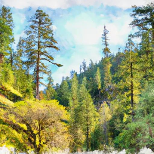
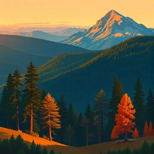
There are several compelling reasons to visit Umpqua National Forest. Firstly, its vast expanse of over 983,000 acres provides ample opportunities for camping, hiking, fishing, wildlife viewing, and other outdoor activities. The forest is home to a variety of wildlife, including black bears, elk, deer, and numerous bird species, offering excellent opportunities for wildlife enthusiasts.
One of the main attractions in Umpqua National Forest is the iconic Crater Lake, the deepest lake in the United States. Its crystal-clear blue waters, formed in a volcanic caldera, offer a truly mesmerizing sight. Visitors can explore the lake's Rim Drive, go hiking on the numerous trails, or take a boat tour to experience the lake up close.
Another notable point of interest is the Umpqua Hot Springs, a series of geothermal pools nestled in a scenic forest setting. These natural hot springs are a popular spot for relaxation and rejuvenation, allowing visitors to soak in the warm mineral-rich waters while surrounded by stunning views.
The forest is also home to several magnificent waterfalls, including Toketee Falls and Watson Falls. Toketee Falls is particularly renowned for its striking two-tiered drop and unique rock formations that make it a photographer's paradise. Watson Falls, on the other hand, is the third tallest waterfall in Oregon, cascading over a 272-feet basalt cliff into a picturesque pool.
For those interested in history, Umpqua National Forest offers sites such as the historic Oregon Dunes, where visitors can explore the largest expanse of coastal sand dunes in North America. These dunes provide opportunities for sandboarding, ATV riding, and peaceful beach walks.
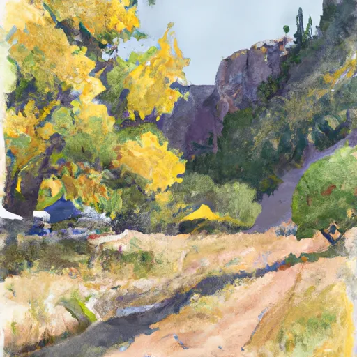
The best time to visit Umpqua National Forest largely depends on the activities one wishes to pursue. Summer months (June to September) are popular for hiking, camping, and exploring the forest's trails. The fall season (September to November) offers stunning foliage colors, making it an ideal time for photography and scenic drives. Winter brings snow to the higher elevations, creating opportunities for skiing, snowshoeing, and snowmobiling.
To ensure accuracy, it is important to verify the information provided across multiple independent sources, such as the official website of Umpqua National Forest, travel guides, and government-sponsored tourism websites.
Streamflow in Umpqua National Forest
Live USGS discharge at streamgauges inside the park boundary.
Snowpack in Umpqua National Forest
Current snow depth at SNOTEL stations inside the park boundary.
Trails in Umpqua National Forest
Named trails whose route falls inside the park.
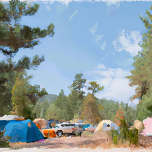
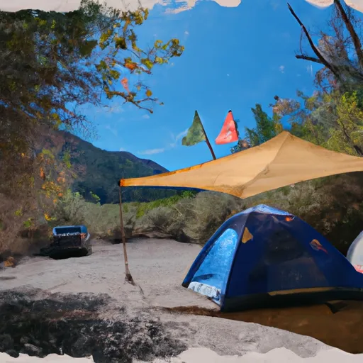
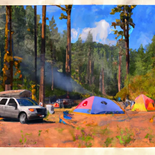
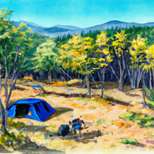
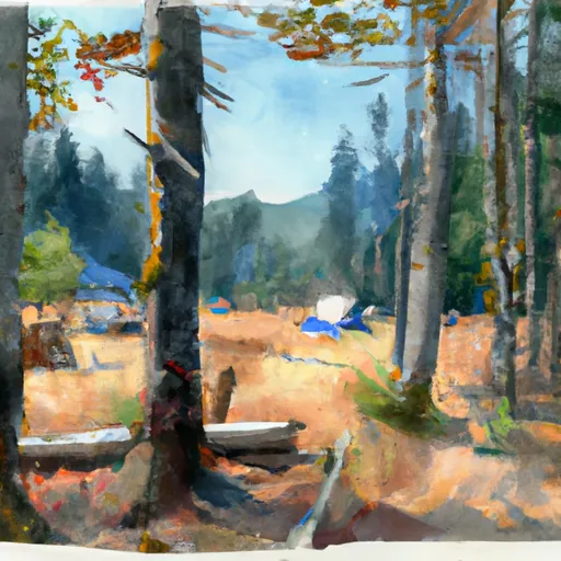
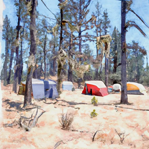
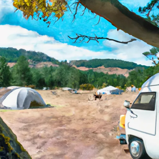
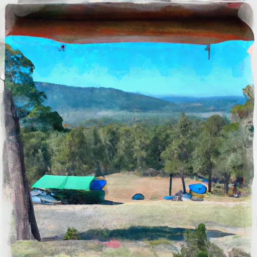
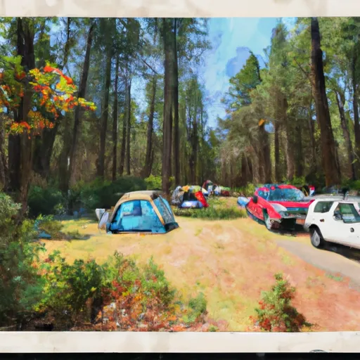
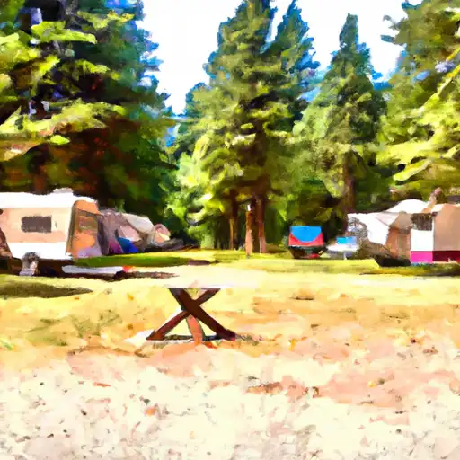
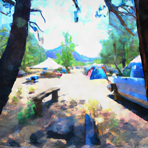
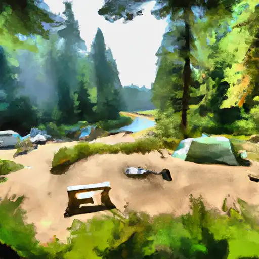
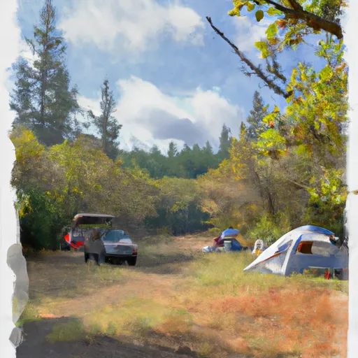
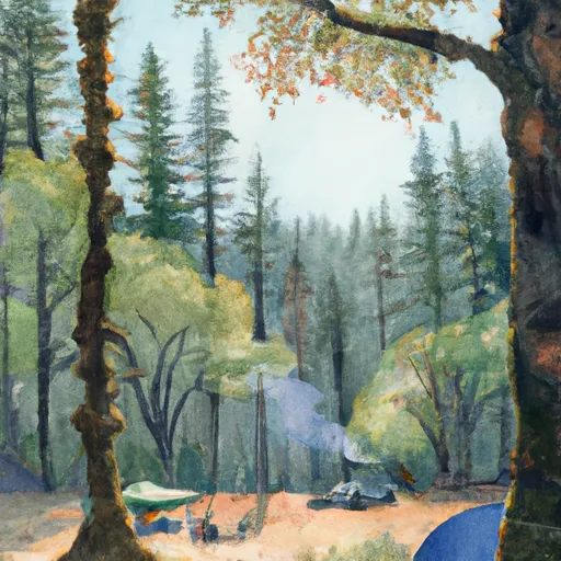
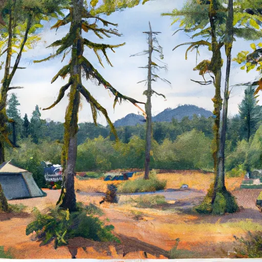
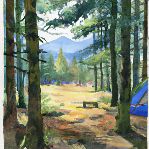
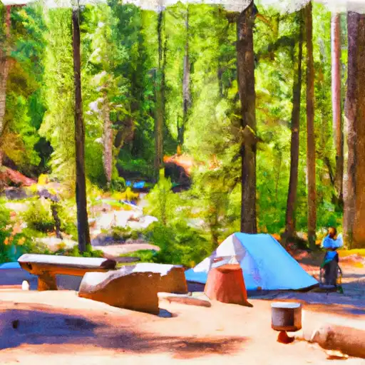
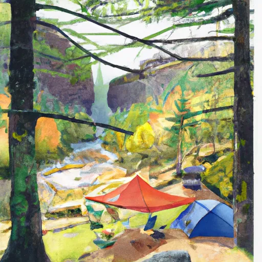
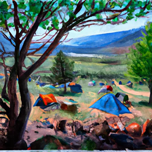
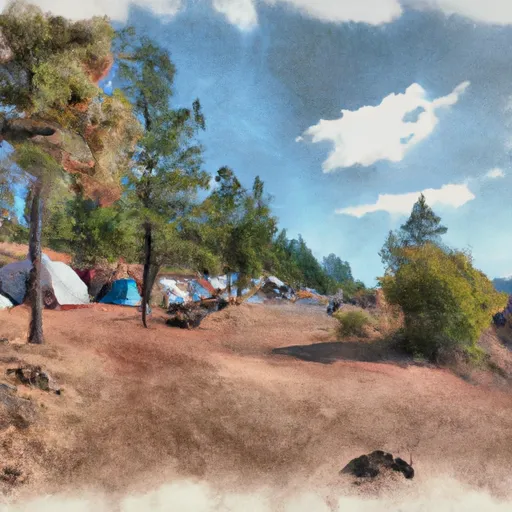
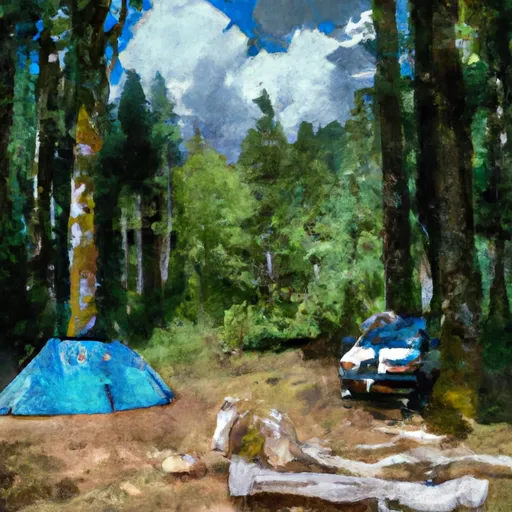
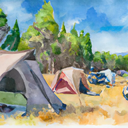
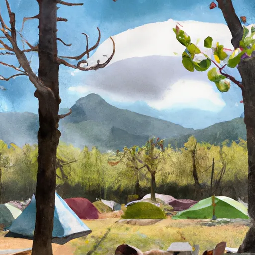
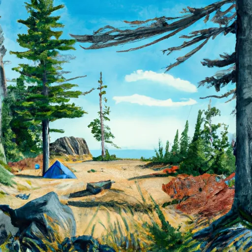
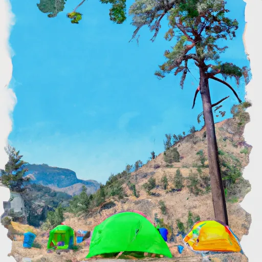
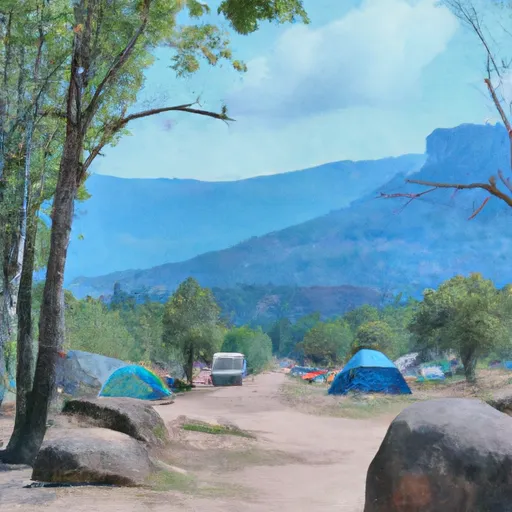
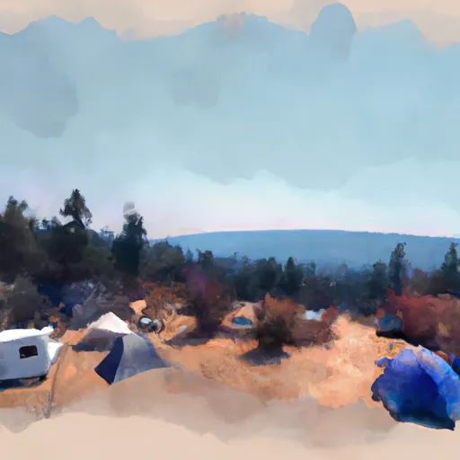
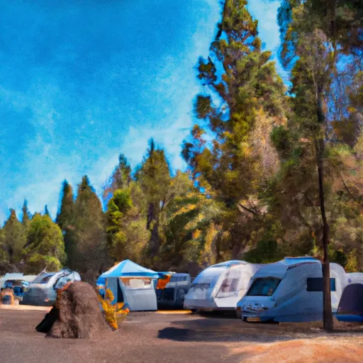
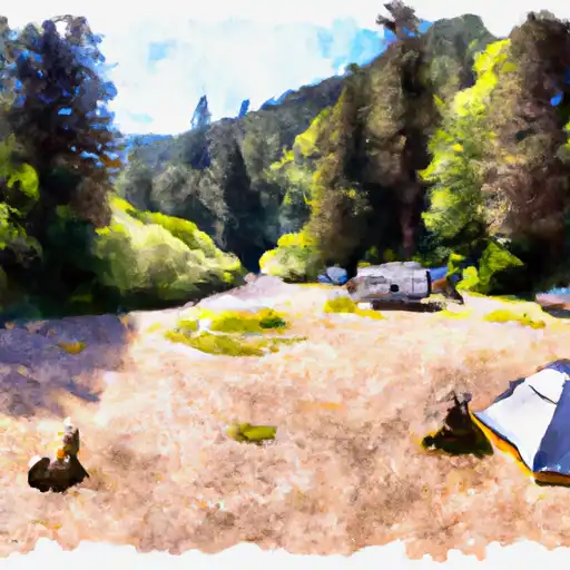
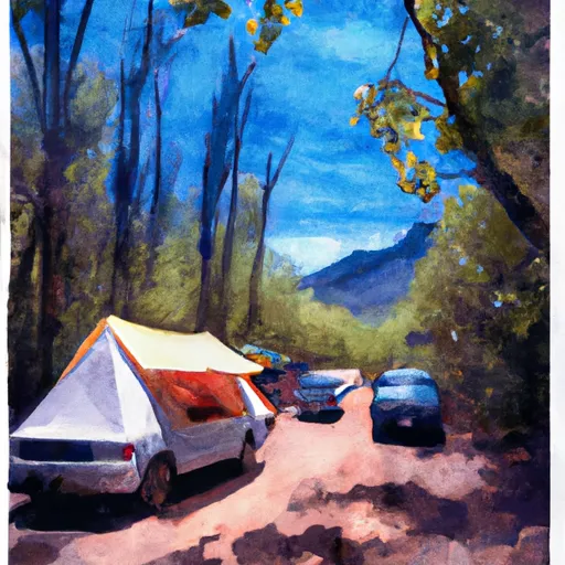
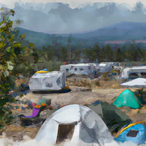
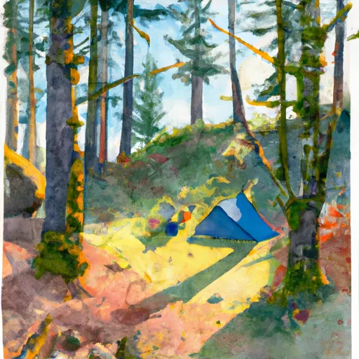
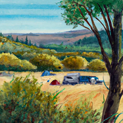
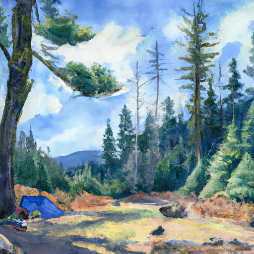
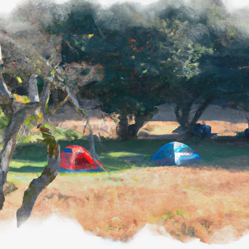
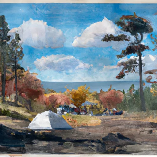
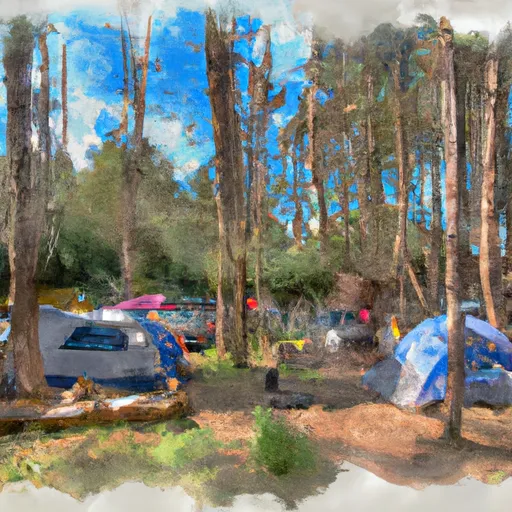
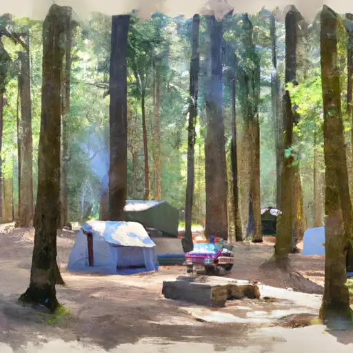
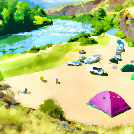
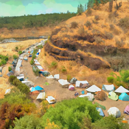
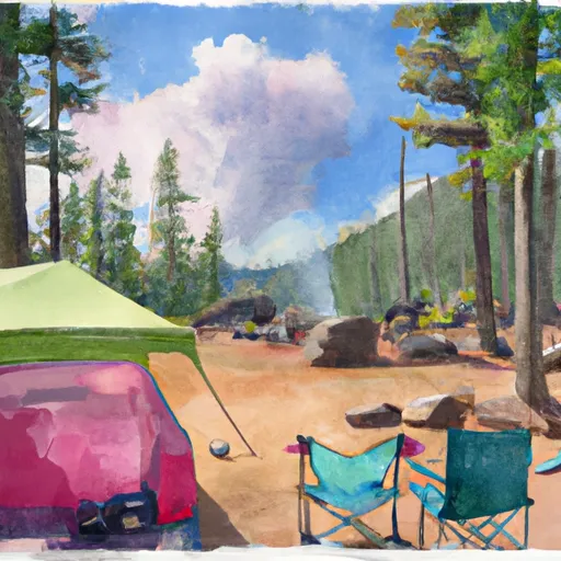
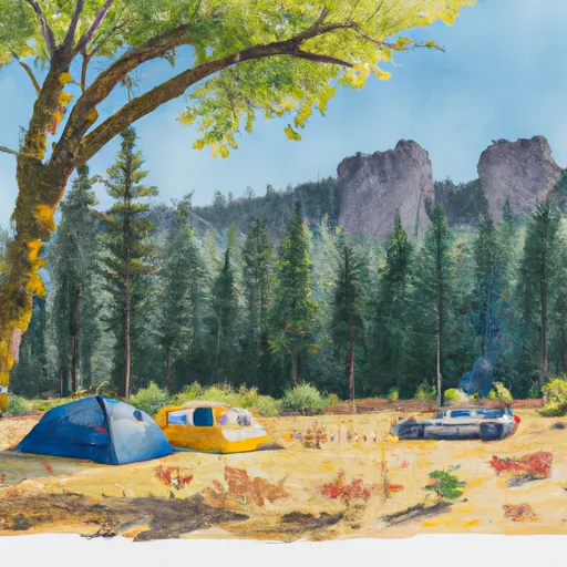
Camping in Umpqua National Forest
Campgrounds inside the park, with today's conditions score.
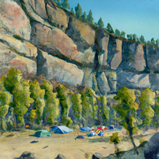
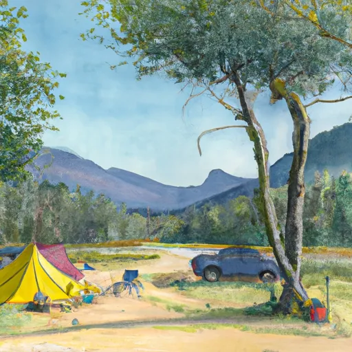


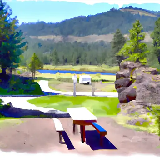
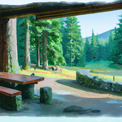
Points of interest in Umpqua National Forest
Landmarks and points of interest inside the park boundary.


Plan your visit down to the hour
Same weather feed Snoflo's iOS app uses -- updated continuously from NOAA / yr.no.
Next 5 days, hour by hour
Temperature line with weather symbols on top, snow + rain accumulation as columns, humidity as a dotted line.
5-day forecast table
Every 3 hours, broken out across temperature, snow, rain, humidity, and wind.
| Time | Condition | Temp (°F) | Snow (in) | Rain (in) | Humidity (%) | Wind (mps) | Wind dir |
|---|---|---|---|---|---|---|---|
| Loading detailed forecast… | |||||||
15-day temperature & precipitation
Daily temperatures, snow, and rain projected over the next two weeks.
Responsible recreation & Leave No Trace
- Know before you go
- Check the operator's site for hours, permit requirements, seasonal closures, and fire restrictions before heading out.
- Stay on trail
- Stick to marked paths to protect vegetation, prevent erosion, and avoid disturbing wildlife habitat.
- Respect wildlife
- Observe from a distance, never feed wildlife, and store food securely if camping is permitted on-site.
- Pack it in, pack it out
- Carry out all trash, food scraps, and gear. Many parks have limited or no trash service.
- Leave what you find
- Don't take rocks, plants, or artifacts. They make the park what it is for the next visitor.
Set push alerts in the Snoflo app
Save Umpqua National Forest as a favorite, set a custom threshold (precipitation, freezing temperatures, fire-restriction days), and the iOS app will push the moment conditions cross.
About Umpqua National Forest
What can I do at Umpqua National Forest?
Most Snoflo-tracked parks support hiking, picnicking, and wildlife viewing. Check the operator's site for activity-specific rules (camping, fishing, paddling, hunting).
How fresh is the weather data?
The hourly forecast updates throughout the day from NOAA / yr.no. Streamflow comes live from USGS streamgauges.
When is the best time to visit?
Use the 15-day temperature & precipitation outlook on this page to plan -- pick a window with comfortable temperatures and low precipitation.
How do I get to Umpqua National Forest?
Tap Directions in the hero above to open driving directions in Google Maps, or Open in map to center the Snoflo interactive map on the park.
Can I get alerts when conditions change?
Yes -- alerts are managed in the Snoflo iOS app. Favorite this park, set a threshold (temperature, precipitation), and you'll get a push the moment it crosses.
Park & land designation reference
A quick legend for the federal and state land categories Snoflo tracks. Each designation comes with different rules around access, recreation, and resource extraction.
- National Park
- Large protected natural areas managed by the federal government to preserve significant landscapes, ecosystems, and cultural resources; recreation is allowed but conservation is the priority.
- State Park
- Public natural or recreational areas managed by a state government, typically smaller than national parks and focused on regional natural features, recreation, and education.
- Local Park
- Community-level parks managed by cities or counties, emphasizing recreation, playgrounds, sports, and green space close to populated areas.
- Wilderness Area
- The highest level of land protection in the U.S.; designated areas where nature is left essentially untouched, with no roads, structures, or motorized motorized access permitted.
- National Recreation Area
- Areas set aside primarily for outdoor recreation (boating, hiking, fishing, often around reservoirs, rivers, or scenic landscapes); may allow more development.
- National Conservation Area (BLM)
- BLM-managed areas with special ecological, cultural, or scientific value; more protection than typical BLM land but less strict than Wilderness Areas.
- State Forest
- State-managed forests focused on habitat, watershed, recreation, and sustainable timber harvest.
- Bureau of Land Management (BLM) Land
- Vast federal lands managed for mixed use -- recreation, grazing, mining, conservation -- with fewer restrictions than national parks or forests.