Wilderness North Fork John Day
Community Reviews
Been here? Share the conditions.
Reviews, ratings & photos are added in the free Snoflo iOS app — rate a spot, tag the conditions, and your visit is verified by location. Add or manage your reviews from the app.

Wilderness North Fork John Day
Reasons to Visit:
1. Scenic Beauty: The North Fork John Day area is known for its breathtaking landscapes, including lush forests, rolling hills, and pristine rivers. The scenery provides a perfect backdrop for outdoor enthusiasts, photographers, and nature lovers.
2. Outdoor Recreation: This wilderness area offers a plethora of outdoor activities. Popular options include hiking, backpacking, fishing, camping, horseback riding, and wildlife viewing. The area's abundant trails cater to both novice and experienced adventurers.
3. Solitude and Serenity: Unlike some more crowded destinations, the North Fork John Day wilderness offers a peaceful and uncrowded experience. Visitors seeking solitude and a chance to reconnect with nature will find this area particularly appealing.
Points of Interest:
1. North Fork John Day River: The river is a prominent feature of the wilderness, offering excellent opportunities for fishing, kayaking, and rafting. It is also home to diverse wildlife, including beavers, otters, and various bird species.
2. Vinegar Hill-Indian Rock Scenic Area: Located within the wilderness, this area is famous for its unique geological formations, ancient Native American rock art, and stunning vistas.
3. Elkhorn Crest Trail: This popular 23-mile hiking trail offers spectacular views of the surrounding mountains, lakes, and valleys. It is considered one of the most scenic trails in the area.
4. North Fork John Day Wilderness Lookout: This historic fire lookout tower provides panoramic views of the wilderness and surrounding region. It's a great spot for photographers and those seeking breathtaking vistas.
Interesting Facts:
1. The North Fork John Day Wilderness covers approximately 121,000 acres within the Malheur National Forest.
2. The area is habitat to a diverse range of wildlife, including elk, deer, black bears, mountain lions, and various bird species.
3. The wilderness is intersected by several designated Wild and Scenic Rivers, ensuring the protection of its pristine waterways.
Best Time to Visit:
The best time to visit the North Fork John Day Wilderness depends on the activities you plan to pursue. Summer months (June to September) offer pleasant weather for hiking, camping, and fishing. Spring and fall are ideal for those wishing to enjoy cooler temperatures and vibrant fall foliage. However, it's important to note that weather conditions can change rapidly, so be prepared for variable conditions throughout the year.
Please cross-reference the information provided with reliable sources before planning your visit, as conditions and details may change over time.
Trails in Wilderness North Fork John Day
Named trails whose route falls inside the park.
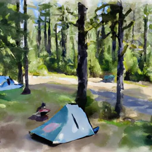
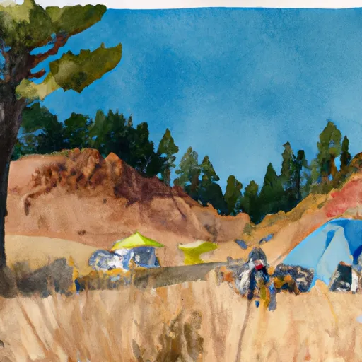
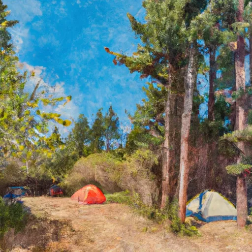
Camping in Wilderness North Fork John Day
Campgrounds inside the park, with today's conditions score.

Plan your visit down to the hour
Same weather feed Snoflo's iOS app uses -- updated continuously from NOAA / yr.no.
Next 5 days, hour by hour
Temperature line with weather symbols on top, snow + rain accumulation as columns, humidity as a dotted line.
5-day forecast table
Every 3 hours, broken out across temperature, snow, rain, humidity, and wind.
| Time | Condition | Temp (°F) | Snow (in) | Rain (in) | Humidity (%) | Wind (mps) | Wind dir |
|---|---|---|---|---|---|---|---|
| Loading detailed forecast… | |||||||
15-day temperature & precipitation
Daily temperatures, snow, and rain projected over the next two weeks.
Responsible recreation & Leave No Trace
- Know before you go
- Check the operator's site for hours, permit requirements, seasonal closures, and fire restrictions before heading out.
- Stay on trail
- Stick to marked paths to protect vegetation, prevent erosion, and avoid disturbing wildlife habitat.
- Respect wildlife
- Observe from a distance, never feed wildlife, and store food securely if camping is permitted on-site.
- Pack it in, pack it out
- Carry out all trash, food scraps, and gear. Many parks have limited or no trash service.
- Leave what you find
- Don't take rocks, plants, or artifacts. They make the park what it is for the next visitor.
Set push alerts in the Snoflo app
Save Wilderness North Fork John Day as a favorite, set a custom threshold (precipitation, freezing temperatures, fire-restriction days), and the iOS app will push the moment conditions cross.
About Wilderness North Fork John Day
What can I do at Wilderness North Fork John Day?
Most Snoflo-tracked parks support hiking, picnicking, and wildlife viewing. Check the operator's site for activity-specific rules (camping, fishing, paddling, hunting).
How fresh is the weather data?
The hourly forecast updates throughout the day from NOAA / yr.no. Streamflow comes live from USGS streamgauges.
When is the best time to visit?
Use the 15-day temperature & precipitation outlook on this page to plan -- pick a window with comfortable temperatures and low precipitation.
How do I get to Wilderness North Fork John Day?
Tap Directions in the hero above to open driving directions in Google Maps, or Open in map to center the Snoflo interactive map on the park.
Can I get alerts when conditions change?
Yes -- alerts are managed in the Snoflo iOS app. Favorite this park, set a threshold (temperature, precipitation), and you'll get a push the moment it crosses.
Park & land designation reference
A quick legend for the federal and state land categories Snoflo tracks. Each designation comes with different rules around access, recreation, and resource extraction.
- National Park
- Large protected natural areas managed by the federal government to preserve significant landscapes, ecosystems, and cultural resources; recreation is allowed but conservation is the priority.
- State Park
- Public natural or recreational areas managed by a state government, typically smaller than national parks and focused on regional natural features, recreation, and education.
- Local Park
- Community-level parks managed by cities or counties, emphasizing recreation, playgrounds, sports, and green space close to populated areas.
- Wilderness Area
- The highest level of land protection in the U.S.; designated areas where nature is left essentially untouched, with no roads, structures, or motorized motorized access permitted.
- National Recreation Area
- Areas set aside primarily for outdoor recreation (boating, hiking, fishing, often around reservoirs, rivers, or scenic landscapes); may allow more development.
- National Conservation Area (BLM)
- BLM-managed areas with special ecological, cultural, or scientific value; more protection than typical BLM land but less strict than Wilderness Areas.
- State Forest
- State-managed forests focused on habitat, watershed, recreation, and sustainable timber harvest.
- Bureau of Land Management (BLM) Land
- Vast federal lands managed for mixed use -- recreation, grazing, mining, conservation -- with fewer restrictions than national parks or forests.