


Harms Woods
Last Updated: May 4, 2026
Leave a RatingNearby: Gross Point Park Cunliff's Park
°F
°F
mph
Wind
%
Humidity
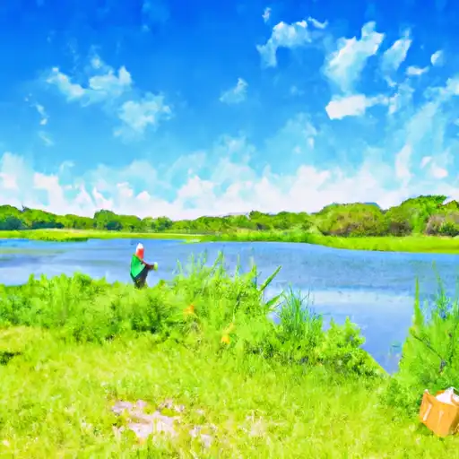
Harms Woods is a forest preserve located in Cook County, Illinois.
Summary
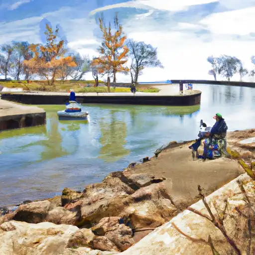
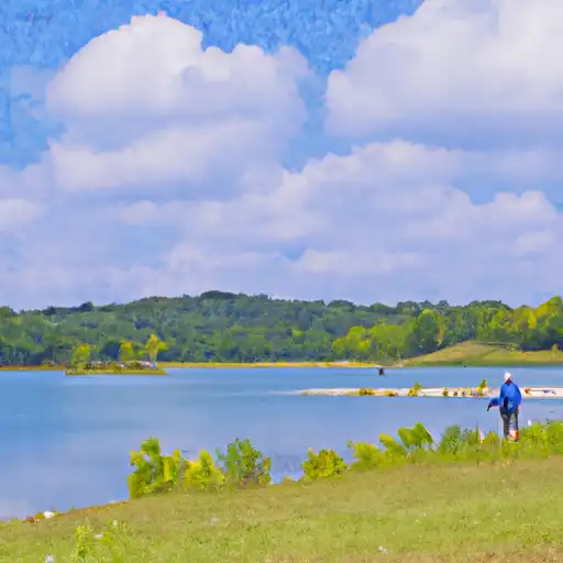
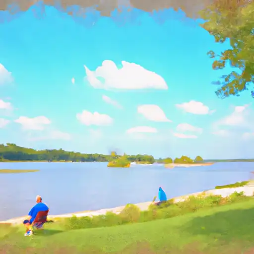
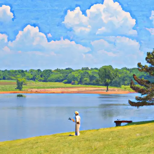
It covers an area of 109 acres and is home to a variety of wildlife species. There are several good reasons to visit Harms Woods, including hiking, birdwatching, and picnicking. The preserve features a network of trails that offer visitors the opportunity to explore the area's woodlands, wetlands, and prairies.
One of the most popular points of interest in Harms Woods is the Interpretive Nature Center. This center offers educational programs and exhibits that provide visitors with information about the area's natural history and ecology. Other notable features of the preserve include a fishing pond, a playground, and a picnic area.
Interesting facts about Harms Woods include the fact that it was named after a family of early settlers who owned the land in the 19th century. The preserve was established in 1924 and has since been managed by the Forest Preserve District of Cook County. It is also home to several rare plant species, including the eastern prickly pear cactus and the wild hyacinth.
The best time of year to visit Harms Woods depends on the visitor's interests. Spring and fall are good times for birdwatching, as many migratory species pass through the area. Summer is a popular time for hiking and picnicking, while winter offers opportunities for cross-country skiing and snowshoeing.
Overall, Harms Woods is a beautiful and peaceful natural area that offers visitors a chance to escape the hustle and bustle of city life and enjoy the beauty of nature.
15-Day Long Term Forecast
5-Day Hourly Forecast Detail
Park & Land Designation Reference
Large protected natural areas managed by the federal government to preserve significant landscapes, ecosystems, and cultural resources; recreation is allowed but conservation is the priority.
State Park
Public natural or recreational areas managed by a state government, typically smaller than national parks and focused on regional natural features, recreation, and education.
Local Park
Community-level parks managed by cities or counties, emphasizing recreation, playgrounds, sports, and green space close to populated areas.
Wilderness Area
The highest level of land protection in the U.S.; designated areas where nature is left essentially untouched, with no roads, structures, or motorized access permitted.
National Recreation Area
Areas set aside primarily for outdoor recreation (boating, hiking, fishing), often around reservoirs, rivers, or scenic landscapes; may allow more development.
National Conservation Area (BLM)
BLM-managed areas with special ecological, cultural, or scientific value; more protection than typical BLM land but less strict than Wilderness Areas.
State Forest
State-managed forests focused on habitat, watershed, recreation, and sustainable timber harvest.
National Forest
Federally managed lands focused on multiple use—recreation, wildlife habitat, watershed protection, and resource extraction (like timber)—unlike the stricter protections of national parks.
Wilderness
A protected area set aside to conserve specific resources—such as wildlife, habitats, or scientific features—with regulations varying widely depending on the managing agency and purpose.
Bureau of Land Management (BLM) Land
Vast federal lands managed for mixed use—recreation, grazing, mining, conservation—with fewer restrictions than national parks or forests.
Related References
 Gross Point Park
 Cunliff's Park
 Blue Star Memorial Woods
 Harrer Park
 Linne Woods Preserve
 Skokie Lagoons
 Wilmette Harbor
 Techny Reservoir
 Belleau Lake
 Beck Lake