Wilderness Mount Naomi
Community Reviews
Been here? Share the conditions.
Reviews, ratings & photos are added in the free Snoflo iOS app — rate a spot, tag the conditions, and your visit is verified by location. Add or manage your reviews from the app.

Wilderness Mount Naomi
Reasons to Visit:
1. Scenic Beauty: Wilderness Mount Naomi boasts stunning landscapes with its dense forests, meadows, alpine lakes, and towering mountains. The area offers countless opportunities for hiking, photography, and immersing oneself in nature's beauty.
2. Wildlife Viewing: The wilderness is home to a wide variety of wildlife, including deer, elk, moose, black bears, mountain lions, and numerous bird species. Visitors may encounter these animals during their exploration.
3. Outdoor Recreation: Outdoor enthusiasts will find numerous activities to partake in, such as hiking, backpacking, camping, fishing, horseback riding, and mountain biking. The wilderness area features an extensive trail system that caters to different skill levels.
4. Serenity and Solitude: Wilderness Mount Naomi provides a peaceful atmosphere away from the hustle and bustle of city life. Visitors can disconnect from technology and unwind in a tranquil environment.
Points of Interest:
1. Naomi Peak: The highest point in the Bear River Range, Naomi Peak stands at an elevation of 9,979 feet (3,042 meters). Hiking to the summit rewards adventurers with panoramic views of the surrounding region.
2. White Pine Lake: This picturesque alpine lake, nestled amidst the mountains, is a popular destination for camping and fishing. The crystal-clear water and stunning reflections make it a favorite spot for photographers.
3. Franklin Basin: Offering scenic meadows and dense forests, Franklin Basin provides an excellent setting for hiking, picnicking, and wildlife observation.
4. Coldwater Canyon: Featuring a cascading waterfall and lush vegetation, Coldwater Canyon is a hidden gem within the wilderness area. Its serene ambiance is perfect for peaceful walks and nature appreciation.
Interesting Facts:
1. Wilderness Mount Naomi is named after Naomi Peak, which, according to local folklore, was named after a Shoshone woman named Naomi who died there.
2. The area is rich in history, with evidence of Native American habitation dating back thousands of years.
3. The wilderness area is managed by the United States Forest Service and covers over 44,000 acres (17,800 hectares).
4. Wilderness Mount Naomi is part of the larger Cache National Forest, which spans over one million acres and is celebrated for its diverse ecosystems.
Best Time to Visit:
The best time to visit Wilderness Mount Naomi is during the summer months, from June to August, when the weather is generally mild and ideal for outdoor activities. Spring (April to May) and fall (September to October) offer cooler temperatures and beautiful foliage, making them great options for hiking and photography. Winter (November to March) brings heavy snowfall, making the area suitable for winter sports like snowshoeing and cross-country skiing.
It is always recommended to cross-reference this information with multiple independent sources to ensure accuracy and current conditions.
Trails in Wilderness Mount Naomi
Named trails whose route falls inside the park.
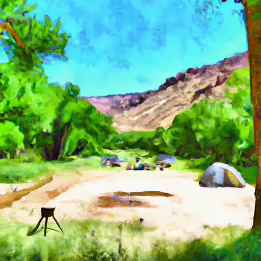
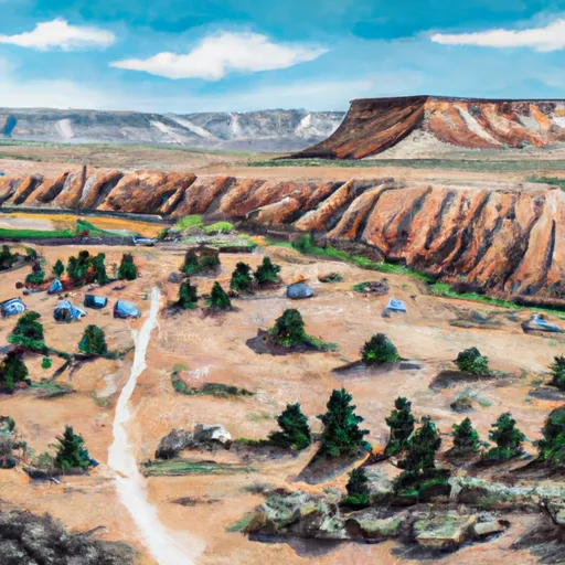
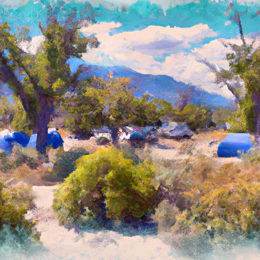
Camping in Wilderness Mount Naomi
Campgrounds inside the park, with today's conditions score.

Plan your visit down to the hour
Same weather feed Snoflo's iOS app uses -- updated continuously from NOAA / yr.no.
Next 5 days, hour by hour
Temperature line with weather symbols on top, snow + rain accumulation as columns, humidity as a dotted line.
5-day forecast table
Every 3 hours, broken out across temperature, snow, rain, humidity, and wind.
| Time | Condition | Temp (°F) | Snow (in) | Rain (in) | Humidity (%) | Wind (mps) | Wind dir |
|---|---|---|---|---|---|---|---|
| Loading detailed forecast… | |||||||
15-day temperature & precipitation
Daily temperatures, snow, and rain projected over the next two weeks.
Responsible recreation & Leave No Trace
- Know before you go
- Check the operator's site for hours, permit requirements, seasonal closures, and fire restrictions before heading out.
- Stay on trail
- Stick to marked paths to protect vegetation, prevent erosion, and avoid disturbing wildlife habitat.
- Respect wildlife
- Observe from a distance, never feed wildlife, and store food securely if camping is permitted on-site.
- Pack it in, pack it out
- Carry out all trash, food scraps, and gear. Many parks have limited or no trash service.
- Leave what you find
- Don't take rocks, plants, or artifacts. They make the park what it is for the next visitor.
Set push alerts in the Snoflo app
Save Wilderness Mount Naomi as a favorite, set a custom threshold (precipitation, freezing temperatures, fire-restriction days), and the iOS app will push the moment conditions cross.
About Wilderness Mount Naomi
What can I do at Wilderness Mount Naomi?
Most Snoflo-tracked parks support hiking, picnicking, and wildlife viewing. Check the operator's site for activity-specific rules (camping, fishing, paddling, hunting).
How fresh is the weather data?
The hourly forecast updates throughout the day from NOAA / yr.no. Streamflow comes live from USGS streamgauges.
When is the best time to visit?
Use the 15-day temperature & precipitation outlook on this page to plan -- pick a window with comfortable temperatures and low precipitation.
How do I get to Wilderness Mount Naomi?
Tap Directions in the hero above to open driving directions in Google Maps, or Open in map to center the Snoflo interactive map on the park.
Can I get alerts when conditions change?
Yes -- alerts are managed in the Snoflo iOS app. Favorite this park, set a threshold (temperature, precipitation), and you'll get a push the moment it crosses.
Park & land designation reference
A quick legend for the federal and state land categories Snoflo tracks. Each designation comes with different rules around access, recreation, and resource extraction.
- National Park
- Large protected natural areas managed by the federal government to preserve significant landscapes, ecosystems, and cultural resources; recreation is allowed but conservation is the priority.
- State Park
- Public natural or recreational areas managed by a state government, typically smaller than national parks and focused on regional natural features, recreation, and education.
- Local Park
- Community-level parks managed by cities or counties, emphasizing recreation, playgrounds, sports, and green space close to populated areas.
- Wilderness Area
- The highest level of land protection in the U.S.; designated areas where nature is left essentially untouched, with no roads, structures, or motorized motorized access permitted.
- National Recreation Area
- Areas set aside primarily for outdoor recreation (boating, hiking, fishing, often around reservoirs, rivers, or scenic landscapes); may allow more development.
- National Conservation Area (BLM)
- BLM-managed areas with special ecological, cultural, or scientific value; more protection than typical BLM land but less strict than Wilderness Areas.
- State Forest
- State-managed forests focused on habitat, watershed, recreation, and sustainable timber harvest.
- Bureau of Land Management (BLM) Land
- Vast federal lands managed for mixed use -- recreation, grazing, mining, conservation -- with fewer restrictions than national parks or forests.