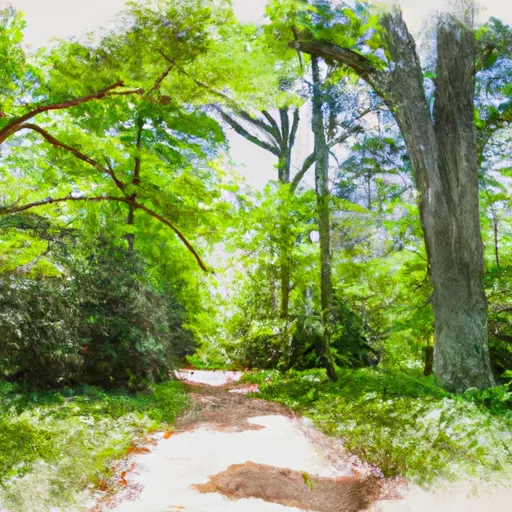
High Bridge Trail State Park
Leave a RatingLast Updated: February 21, 2026
High Bridge Trail State Park is located in Virginia and is a popular destination for outdoor enthusiasts.
Summary
The park is named after the High Bridge, a historic landmark that spans the Appomattox River and offers stunning views of the surrounding countryside.
Visitors to the park can enjoy a range of activities, including hiking, biking, horseback riding, and fishing. The park's trails are well-maintained and offer a mix of easy and challenging terrain, making it suitable for all levels of fitness.
One of the main points of interest in the park is the High Bridge itself, which was built in the mid-19th century and played a significant role in the Civil War. The bridge has been restored and is now open to the public, offering breathtaking views of the river and the surrounding countryside.
Other notable features of the park include the Camp Paradise Trail, which winds through a beautiful wooded area and offers stunning views of the Appomattox River, and the Nottoway River Blueway, a popular spot for kayaking and canoeing.
Interesting facts about the park include that it covers over 31 miles, making it one of the largest state parks in Virginia, and that it is home to a variety of wildlife, including deer, turkey, and bald eagles.
The best time of year to visit High Bridge Trail State Park is in the spring and fall when the weather is mild and the foliage is at its most colorful. However, the park is open year-round, so visitors can enjoy its beauty and activities at any time of year.
°F
°F
mph
Wind
%
Humidity
15-Day Weather Outlook
5-Day Hourly Forecast Detail
Park & Land Designation Reference
Large protected natural areas managed by the federal government to preserve significant landscapes, ecosystems, and cultural resources; recreation is allowed but conservation is the priority.
State Park
Public natural or recreational areas managed by a state government, typically smaller than national parks and focused on regional natural features, recreation, and education.
Local Park
Community-level parks managed by cities or counties, emphasizing recreation, playgrounds, sports, and green space close to populated areas.
Wilderness Area
The highest level of land protection in the U.S.; designated areas where nature is left essentially untouched, with no roads, structures, or motorized access permitted.
National Recreation Area
Areas set aside primarily for outdoor recreation (boating, hiking, fishing), often around reservoirs, rivers, or scenic landscapes; may allow more development.
National Conservation Area (BLM)
BLM-managed areas with special ecological, cultural, or scientific value; more protection than typical BLM land but less strict than Wilderness Areas.
State Forest
State-managed forests focused on habitat, watershed, recreation, and sustainable timber harvest.
National Forest
Federally managed lands focused on multiple use—recreation, wildlife habitat, watershed protection, and resource extraction (like timber)—unlike the stricter protections of national parks.
Wilderness
A protected area set aside to conserve specific resources—such as wildlife, habitats, or scientific features—with regulations varying widely depending on the managing agency and purpose.
Bureau of Land Management (BLM) Land
Vast federal lands managed for mixed use—recreation, grazing, mining, conservation—with fewer restrictions than national parks or forests.
Related References

 Between the Lakes Natural Area
 Sailor's Creek Battlefield State Park
 Prince Edward-Gallion State Forest