


George Washington National Forest
Last Updated: April 24, 2026
Leave a Rating°F
°F
mph
Wind
%
Humidity
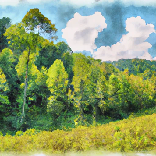
George Washington National Forest is located in the state of Virginia and encompasses over one million acres of land.
Summary
The forest offers visitors a variety of recreational activities including hiking, fishing, camping, and wildlife viewing. One of the main attractions of the forest is the Appalachian Trail which runs through it.
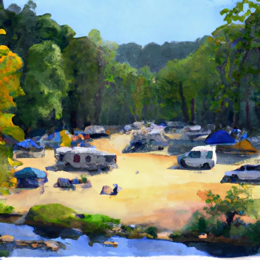
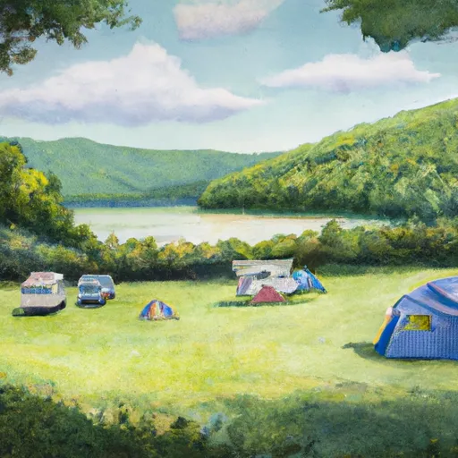
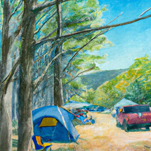
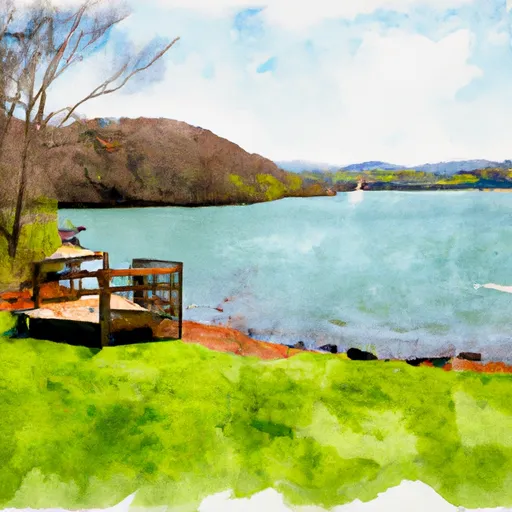
There are several points of interest in the forest that visitors can explore such as the Sherando Lake Recreation Area, the Crabtree Falls, and the Mount Rogers National Recreation Area. The Sherando Lake Recreation Area offers visitors the opportunity to swim, fish, and picnic in a beautiful setting. The Crabtree Falls is a popular hiking destination with a stunning waterfall that drops over 1,200 feet. The Mount Rogers National Recreation Area is home to the highest peak in Virginia and offers visitors the opportunity to hike, camp, and view wildlife.
Interesting facts about the George Washington National Forest include that it is named after George Washington who surveyed the area in his youth and that it was established in 1918 as the Shenandoah National Forest. It was later renamed in honor of the first U.S president. The forest is also home to a variety of wildlife including black bears, white-tailed deer, and wild turkeys.
The best time of year to visit the George Washington National Forest is in the fall when the foliage is at its peak and the temperatures are cooler. Spring is also a good time to visit when the forest is blooming with wildflowers. However, visitors should be aware that the weather can be unpredictable and can change quickly.
In summary, the George Washington National Forest in Virginia is a beautiful and diverse area that offers visitors a variety of recreational activities, stunning natural attractions, and interesting historical facts. It is definitely worth a visit for anyone looking to explore the beauty of the outdoors.
15-Day Long Term Forecast
5-Day Hourly Forecast Detail
Park & Land Designation Reference
Large protected natural areas managed by the federal government to preserve significant landscapes, ecosystems, and cultural resources; recreation is allowed but conservation is the priority.
State Park
Public natural or recreational areas managed by a state government, typically smaller than national parks and focused on regional natural features, recreation, and education.
Local Park
Community-level parks managed by cities or counties, emphasizing recreation, playgrounds, sports, and green space close to populated areas.
Wilderness Area
The highest level of land protection in the U.S.; designated areas where nature is left essentially untouched, with no roads, structures, or motorized access permitted.
National Recreation Area
Areas set aside primarily for outdoor recreation (boating, hiking, fishing), often around reservoirs, rivers, or scenic landscapes; may allow more development.
National Conservation Area (BLM)
BLM-managed areas with special ecological, cultural, or scientific value; more protection than typical BLM land but less strict than Wilderness Areas.
State Forest
State-managed forests focused on habitat, watershed, recreation, and sustainable timber harvest.
National Forest
Federally managed lands focused on multiple use—recreation, wildlife habitat, watershed protection, and resource extraction (like timber)—unlike the stricter protections of national parks.
Wilderness
A protected area set aside to conserve specific resources—such as wildlife, habitats, or scientific features—with regulations varying widely depending on the managing agency and purpose.
Bureau of Land Management (BLM) Land
Vast federal lands managed for mixed use—recreation, grazing, mining, conservation—with fewer restrictions than national parks or forests.
Related References
Area Campgrounds
| Location | Reservations | Toilets |
|---|---|---|
 Steel Bridge Campground
|
||
 Moncove Lake State Park
|
||
 The Pines Campground
|
 Moncove Lake State Park
 Greenbrier State Forest
 Wilderness Shawvers Run
 Wilderness Barbours Creek