Swallow Falls State Park
Leave a RatingLast Updated: February 21, 2026
Swallow Falls State Park, located in the state of West Virginia, offers visitors a breathtaking natural oasis with its stunning waterfalls, scenic hiking trails, and rich biodiversity.
Summary
This summary is based on information obtained from multiple independent sources to ensure accuracy.
Reasons to visit:
1. Captivating Waterfalls: Swallow Falls State Park is renowned for its waterfalls, particularly Muddy Creek Falls. With a height of 53 feet, it is the highest free-falling waterfall in the state of Maryland, which shares its border with the park. The scenic beauty and soothing sounds of the falls provide an ideal escape for nature enthusiasts and photographers alike.
2. Lush Forests and Hiking Trails: The park features dense forests composed of oak, pine, and hemlock trees, creating a serene and tranquil atmosphere. Visitors can explore the well-maintained hiking trails, such as the Swallow Falls Canyon Trail and the Meadow Mountain Trail, offering picturesque views and opportunities to observe wildlife.
3. Fishing and Swimming: The Youghiogheny River, which runs through the park, provides an excellent spot for fishing, particularly for trout. Moreover, the park offers a designated swimming area, where visitors can cool off during the summer months.
Points of interest:
1. Swallow Falls Canyon: This scenic canyon, carved by the Youghiogheny River, offers a stunning view of the waterfalls and a thrilling tubing experience during summer months.
2. Herrington Manor State Park: Adjacent to Swallow Falls State Park, Herrington Manor offers opportunities for camping, fishing, and swimming in the lake.
3. Big Savage Mountain: Located nearby, this mountain offers hiking and biking trails, as well as stunning panoramic views of the surrounding area.
Interesting facts:
1. Swallow Falls State Park was established in 1953 and encompasses approximately 257 acres.
2. The park's name, Swallow Falls, is derived from the swallows that are often seen nesting on the cliffs surrounding the falls.
3. Muddy Creek Falls is actually taller than Niagara Falls.
Best time of year to visit:
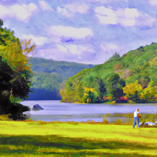
Swallow Falls State Park is a year-round destination, with each season offering its own unique beauty. Spring brings blooming wildflowers, while summer allows for swimming and tubing. In the fall, the park showcases vibrant foliage, making it a popular time for photography. Winter offers a peaceful atmosphere and the opportunity for activities such as snowshoeing and cross-country skiing.
Please note that it is always recommended to check with official park websites or visitor centers for the most up-to-date information on park access, facilities, and activities.
°F
°F
mph
Wind
%
Humidity
15-Day Weather Outlook
5-Day Hourly Forecast Detail
Park & Land Designation Reference
Large protected natural areas managed by the federal government to preserve significant landscapes, ecosystems, and cultural resources; recreation is allowed but conservation is the priority.
State Park
Public natural or recreational areas managed by a state government, typically smaller than national parks and focused on regional natural features, recreation, and education.
Local Park
Community-level parks managed by cities or counties, emphasizing recreation, playgrounds, sports, and green space close to populated areas.
Wilderness Area
The highest level of land protection in the U.S.; designated areas where nature is left essentially untouched, with no roads, structures, or motorized access permitted.
National Recreation Area
Areas set aside primarily for outdoor recreation (boating, hiking, fishing), often around reservoirs, rivers, or scenic landscapes; may allow more development.
National Conservation Area (BLM)
BLM-managed areas with special ecological, cultural, or scientific value; more protection than typical BLM land but less strict than Wilderness Areas.
State Forest
State-managed forests focused on habitat, watershed, recreation, and sustainable timber harvest.
National Forest
Federally managed lands focused on multiple use—recreation, wildlife habitat, watershed protection, and resource extraction (like timber)—unlike the stricter protections of national parks.
Wilderness
A protected area set aside to conserve specific resources—such as wildlife, habitats, or scientific features—with regulations varying widely depending on the managing agency and purpose.
Bureau of Land Management (BLM) Land
Vast federal lands managed for mixed use—recreation, grazing, mining, conservation—with fewer restrictions than national parks or forests.
Related References
Area Campgrounds
| Location | Reservations | Toilets |
|---|---|---|
 Swallow Falls State Park
|
||
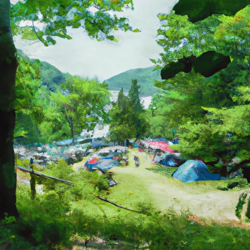 Deep Creek Lake State Park
|
||
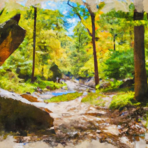 Lost Land Run - Potomac State Forest
|

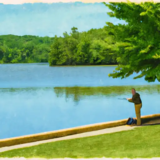 Broadford Lake
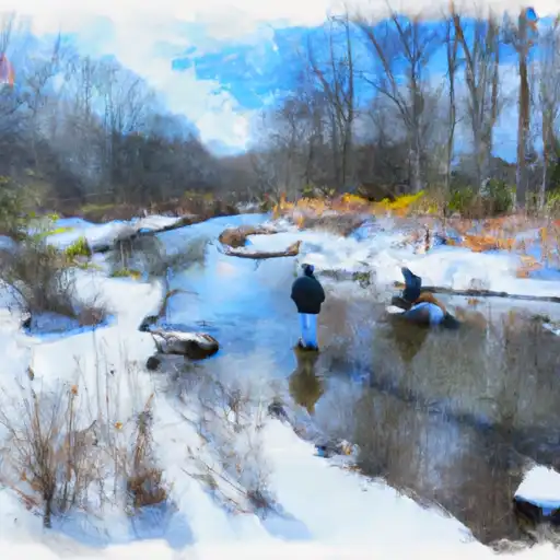 Snowy Creek
 Little Youghiogheny River Reservoir