


Cuivre Island Conservation Area
Last Updated: May 1, 2026
Leave a RatingNearby: Paul A Westoff Park 370 Lakeside Park
°F
°F
mph
Wind
%
Humidity
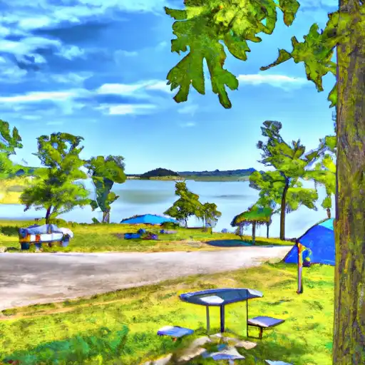
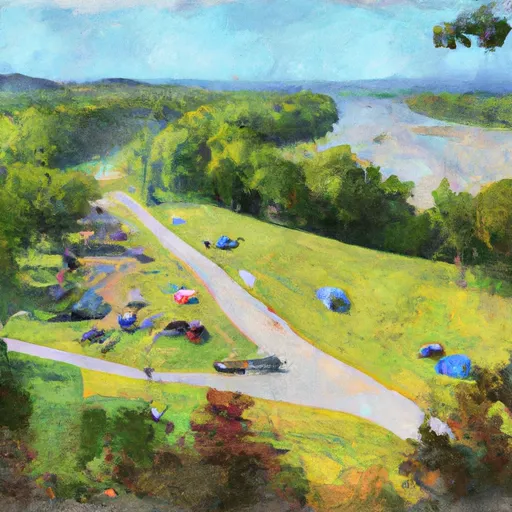
Cuivre Island Conservation Area is located in the northeastern part of Missouri and covers over 6,500 acres of land.
Summary
The area is known for its diverse wildlife and natural beauty, making it a popular destination for outdoor enthusiasts and nature lovers.
One of the main reasons to visit Cuivre Island Conservation Area is to explore its many hiking trails and outdoor activities. The park has several trails that wind through forests, fields, and wetlands, offering visitors a chance to see a variety of birds, mammals, and other wildlife.
Some of the specific points of interest to see at Cuivre Island Conservation Area include the lake and wetlands, which provide habitat for a variety of waterfowl and other aquatic animals. The park also has several picnic areas, camping sites, and fishing spots, making it a great place to spend a day or a weekend.
Interesting facts about the area include the fact that it was once used for farming and mining, and has since been restored to its natural state. The park also plays an important role in preserving and protecting the natural environment and wildlife of Missouri.
The best time of year to visit Cuivre Island Conservation Area is in the spring and fall, when the weather is mild and the park is teeming with wildlife. However, the park is open year-round and offers a variety of activities and events throughout the year.
Overall, if you are looking for a beautiful and peaceful place to explore nature and enjoy outdoor activities, Cuivre Island Conservation Area is definitely worth a visit.
15-Day Long Term Forecast
5-Day Hourly Forecast Detail
Park & Land Designation Reference
Large protected natural areas managed by the federal government to preserve significant landscapes, ecosystems, and cultural resources; recreation is allowed but conservation is the priority.
State Park
Public natural or recreational areas managed by a state government, typically smaller than national parks and focused on regional natural features, recreation, and education.
Local Park
Community-level parks managed by cities or counties, emphasizing recreation, playgrounds, sports, and green space close to populated areas.
Wilderness Area
The highest level of land protection in the U.S.; designated areas where nature is left essentially untouched, with no roads, structures, or motorized access permitted.
National Recreation Area
Areas set aside primarily for outdoor recreation (boating, hiking, fishing), often around reservoirs, rivers, or scenic landscapes; may allow more development.
National Conservation Area (BLM)
BLM-managed areas with special ecological, cultural, or scientific value; more protection than typical BLM land but less strict than Wilderness Areas.
State Forest
State-managed forests focused on habitat, watershed, recreation, and sustainable timber harvest.
National Forest
Federally managed lands focused on multiple use—recreation, wildlife habitat, watershed protection, and resource extraction (like timber)—unlike the stricter protections of national parks.
Wilderness
A protected area set aside to conserve specific resources—such as wildlife, habitats, or scientific features—with regulations varying widely depending on the managing agency and purpose.
Bureau of Land Management (BLM) Land
Vast federal lands managed for mixed use—recreation, grazing, mining, conservation—with fewer restrictions than national parks or forests.
Related References
Area Campgrounds
| Location | Reservations | Toilets |
|---|---|---|
 Pere Marquette State Park
|
||
 St. Peters 370 Lakeside Park
|
||
 Cuivre River State Park
|
 Paul A Westoff Park
 370 Lakeside Park
 Lone Wolff Park
 Brown Road Park
 Sports Center Park