Wilderness Cloud Peak
Community Reviews
Been here? Share the conditions.
Reviews, ratings & photos are added in the free Snoflo iOS app — rate a spot, tag the conditions, and your visit is verified by location. Add or manage your reviews from the app.

Wilderness Cloud Peak
Reasons to Visit:
1. Unspoiled Wilderness: Wilderness Cloud Peak offers a rare opportunity to experience untouched natural beauty, with its vast stretches of pristine forests, alpine meadows, and crystal-clear lakes.
2. Outdoor Activities: The area is a paradise for hikers, backpackers, climbers, anglers, and wildlife enthusiasts. It offers a variety of trails, ranging from easy day hikes to challenging multi-day treks, amidst stunning landscapes.
3. Breathtaking Scenery: Cloud Peak, the highest peak in the Bighorn Mountains, dominates the skyline and offers awe-inspiring panoramic views. The surrounding peaks, valleys, and waterfalls add to the scenic splendor of the region.
Points of Interest:
1. Cloud Peak Summit: Standing at 13,167 feet (4,013 meters), Cloud Peak is a popular destination for experienced hikers and climbers. Reaching the summit rewards visitors with unparalleled vistas and a sense of accomplishment.
2. Paint Rock: Located nearby, Paint Rock showcases ancient Native American pictographs that are estimated to be over 1,000 years old. These historic rock art sites provide a glimpse into the area's rich cultural heritage.
3. Lake Solitude: This tranquil alpine lake offers a perfect spot for relaxation and fishing. Surrounded by wildflowers and towering peaks, it is an idyllic location for a picnic or to simply soak in the peaceful atmosphere.
Interesting Facts:
1. Wildlife Diversity: Wilderness Cloud Peak is home to a wide range of wildlife, including black bears, moose, elk, mule deer, mountain lions, and numerous bird species. The chance to encounter these animals in their natural habitat is a thrilling experience.
2. Glacially Carved Landscape: The region's landscape has been shaped by ancient glaciers, leaving behind stunning U-shaped valleys, cirques, and moraines. The evidence of glacial activity adds to the scenic beauty of the area.
3. Historical Significance: The Bighorn Mountains have a rich history of Native American presence, including the Crow Nation, who inhabited the region for centuries. Exploring this area provides an opportunity to appreciate and respect the cultural heritage of the indigenous people.
Best Time to Visit:
The best time to visit Wilderness Cloud Peak is typically from late spring to early fall (June to September). During this period, the weather is generally mild, and the trails are more accessible. It is essential to check weather conditions and trail conditions before embarking on any outdoor activities. Additionally, the autumn months offer vibrant fall foliage, adding a unique charm to the area.
It is always recommended to verify the information provided by cross-referencing multiple independent sources to ensure accuracy before planning a trip to Wilderness Cloud Peak in Wyoming.
Streamflow in Wilderness Cloud Peak
Live USGS discharge at streamgauges inside the park boundary.
Snowpack in Wilderness Cloud Peak
Current snow depth at SNOTEL stations inside the park boundary.
Trails in Wilderness Cloud Peak
Named trails whose route falls inside the park.
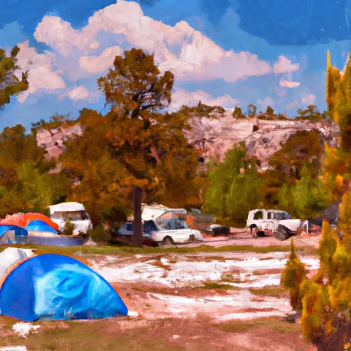
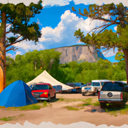
Camping in Wilderness Cloud Peak
Campgrounds inside the park, with today's conditions score.
Plan your visit down to the hour
Same weather feed Snoflo's iOS app uses -- updated continuously from NOAA / yr.no.
Next 5 days, hour by hour
Temperature line with weather symbols on top, snow + rain accumulation as columns, humidity as a dotted line.
5-day forecast table
Every 3 hours, broken out across temperature, snow, rain, humidity, and wind.
| Time | Condition | Temp (°F) | Snow (in) | Rain (in) | Humidity (%) | Wind (mps) | Wind dir |
|---|---|---|---|---|---|---|---|
| Loading detailed forecast… | |||||||
15-day temperature & precipitation
Daily temperatures, snow, and rain projected over the next two weeks.
Responsible recreation & Leave No Trace
- Know before you go
- Check the operator's site for hours, permit requirements, seasonal closures, and fire restrictions before heading out.
- Stay on trail
- Stick to marked paths to protect vegetation, prevent erosion, and avoid disturbing wildlife habitat.
- Respect wildlife
- Observe from a distance, never feed wildlife, and store food securely if camping is permitted on-site.
- Pack it in, pack it out
- Carry out all trash, food scraps, and gear. Many parks have limited or no trash service.
- Leave what you find
- Don't take rocks, plants, or artifacts. They make the park what it is for the next visitor.
Set push alerts in the Snoflo app
Save Wilderness Cloud Peak as a favorite, set a custom threshold (precipitation, freezing temperatures, fire-restriction days), and the iOS app will push the moment conditions cross.
About Wilderness Cloud Peak
What can I do at Wilderness Cloud Peak?
Most Snoflo-tracked parks support hiking, picnicking, and wildlife viewing. Check the operator's site for activity-specific rules (camping, fishing, paddling, hunting).
How fresh is the weather data?
The hourly forecast updates throughout the day from NOAA / yr.no. Streamflow comes live from USGS streamgauges.
When is the best time to visit?
Use the 15-day temperature & precipitation outlook on this page to plan -- pick a window with comfortable temperatures and low precipitation.
How do I get to Wilderness Cloud Peak?
Tap Directions in the hero above to open driving directions in Google Maps, or Open in map to center the Snoflo interactive map on the park.
Can I get alerts when conditions change?
Yes -- alerts are managed in the Snoflo iOS app. Favorite this park, set a threshold (temperature, precipitation), and you'll get a push the moment it crosses.
Park & land designation reference
A quick legend for the federal and state land categories Snoflo tracks. Each designation comes with different rules around access, recreation, and resource extraction.
- National Park
- Large protected natural areas managed by the federal government to preserve significant landscapes, ecosystems, and cultural resources; recreation is allowed but conservation is the priority.
- State Park
- Public natural or recreational areas managed by a state government, typically smaller than national parks and focused on regional natural features, recreation, and education.
- Local Park
- Community-level parks managed by cities or counties, emphasizing recreation, playgrounds, sports, and green space close to populated areas.
- Wilderness Area
- The highest level of land protection in the U.S.; designated areas where nature is left essentially untouched, with no roads, structures, or motorized motorized access permitted.
- National Recreation Area
- Areas set aside primarily for outdoor recreation (boating, hiking, fishing, often around reservoirs, rivers, or scenic landscapes); may allow more development.
- National Conservation Area (BLM)
- BLM-managed areas with special ecological, cultural, or scientific value; more protection than typical BLM land but less strict than Wilderness Areas.
- State Forest
- State-managed forests focused on habitat, watershed, recreation, and sustainable timber harvest.
- Bureau of Land Management (BLM) Land
- Vast federal lands managed for mixed use -- recreation, grazing, mining, conservation -- with fewer restrictions than national parks or forests.