Yellowstone National Park
Community Reviews
Been here? Share the conditions.
Reviews, ratings & photos are added in the free Snoflo iOS app — rate a spot, tag the conditions, and your visit is verified by location. Add or manage your reviews from the app.
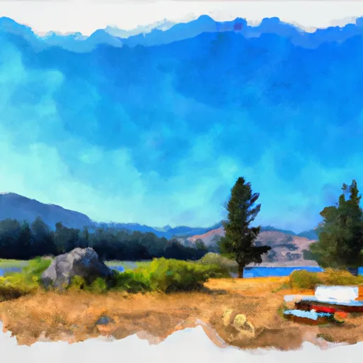
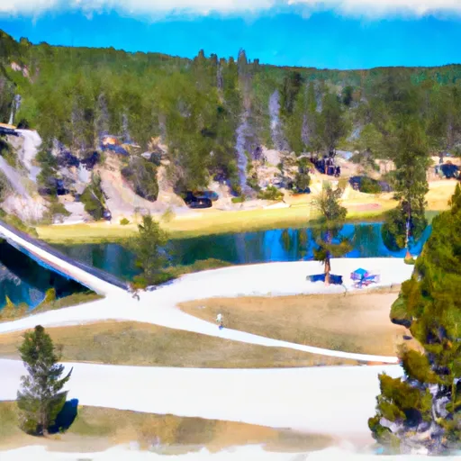
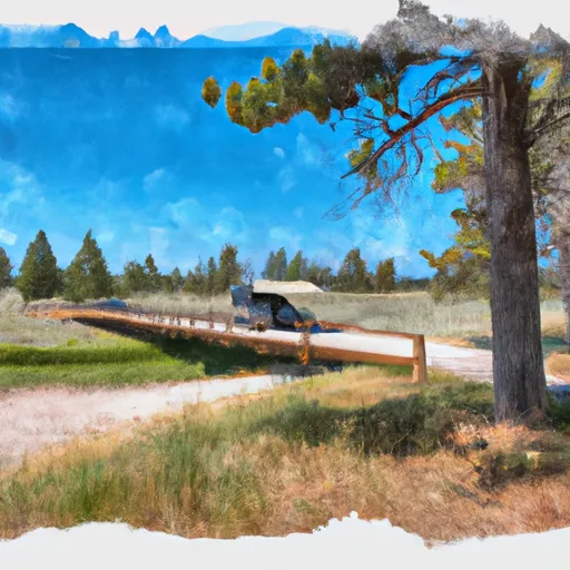
Yellowstone National Park
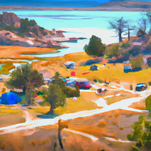
Yellowstone National Park, established in 1872, was the first national park in the United States and is widely considered the first national park in the world. Covering over 2.2 million acres, the park spans three states: Wyoming, Montana, and Idaho. However, the majority of the park lies in Wyoming.
Reasons to visit Yellowstone National Park are abundant. The park is renowned for its geothermal features, including the famous Old Faithful geyser, which erupts approximately every 90 minutes, shooting hot water up to 184 feet into the air. Other geysers, hot springs, and mud pots can be found throughout the park, creating a unique and mesmerizing geothermal landscape.
The park is also home to a diverse range of wildlife, including grizzly bears, black bears, wolves, elk, bison, and more. The Lamar Valley, often referred to as the "American Serengeti," is a prime location for wildlife spotting, particularly wolves and herds of bison.
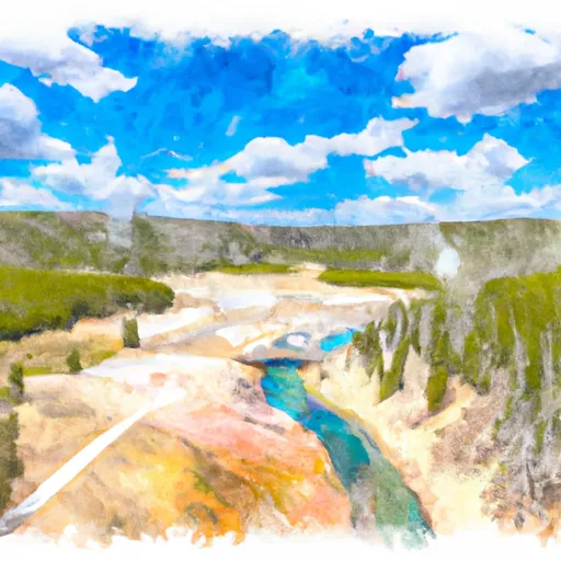
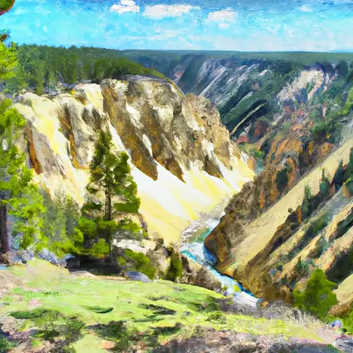
Yellowstone boasts breathtaking scenery, with majestic mountains, deep canyons, and pristine forests. The Grand Canyon of the Yellowstone, a 20-mile-long canyon carved by the Yellowstone River, offers stunning views and picturesque waterfalls, such as the Lower Falls, which plunge approximately 308 feet.
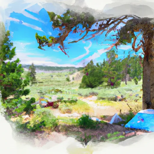
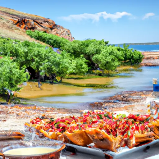
In addition to natural wonders, Yellowstone National Park offers numerous recreational activities. Hiking, camping, fishing, wildlife watching, and scenic drives are popular pursuits. The park features an extensive network of trails, ranging from easy strolls to more challenging hikes, allowing visitors to explore the wilderness and soak in its beauty.
Yellowstone National Park is also rich in history and cultural significance. The park contains the Yellowstone Caldera, which is one of the largest active volcanic systems in the world. The park's cultural heritage can be experienced through various landmarks, such as the Old Faithful Inn, a historic lodge with impressive architectural design.
The best time to visit Yellowstone National Park depends on personal preferences and interests. The park is open year-round, but the summer months (June to August) are the peak tourist season when the weather is mild, and most facilities and roads are accessible. However, this also means larger crowds. Spring (April to May) and fall (September to October) offer pleasant weather, wildlife sightings, and fewer visitors. Winter (November to March) provides a unique experience with activities like snowshoeing and cross-country skiing, although some roads and facilities may be closed.
To ensure the accuracy of the information presented, it is always recommended to cross-reference multiple independent sources for the most up-to-date and reliable details about Yellowstone National Park.
Streamflow in Yellowstone National Park
Live USGS discharge at streamgauges inside the park boundary.
Snowpack in Yellowstone National Park
Current snow depth at SNOTEL stations inside the park boundary.
Trails in Yellowstone National Park
Named trails whose route falls inside the park.
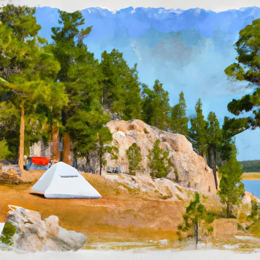
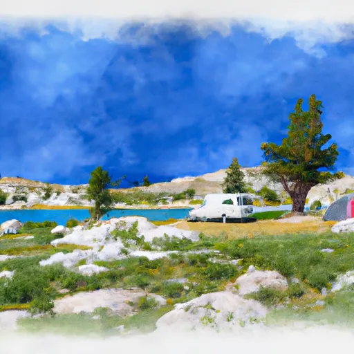
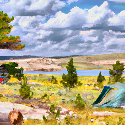
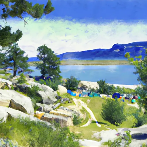
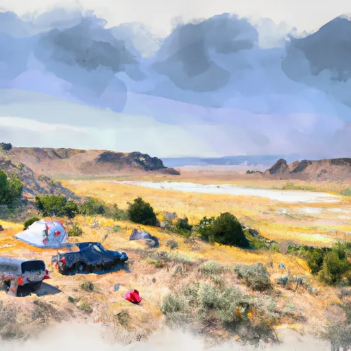
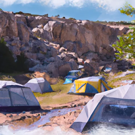
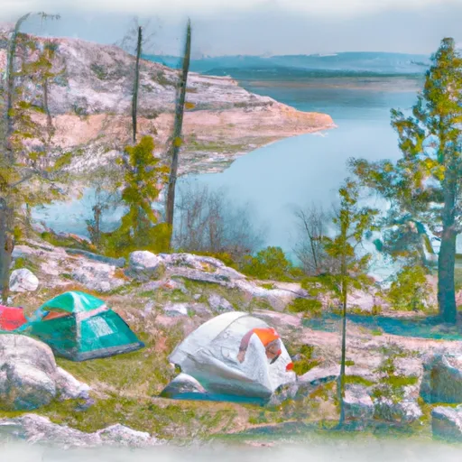
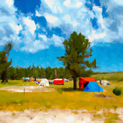
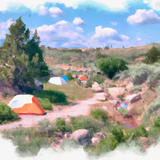
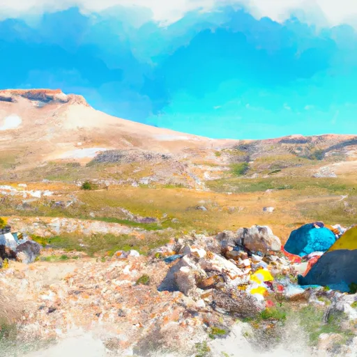
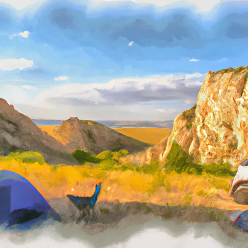
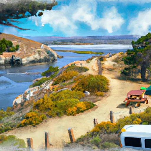
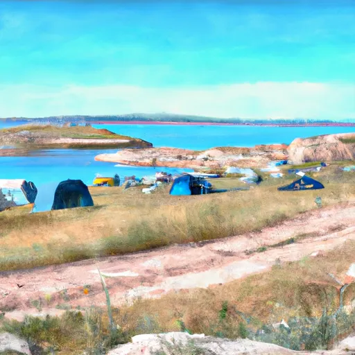
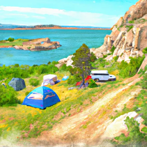
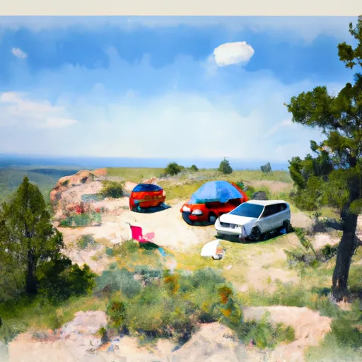
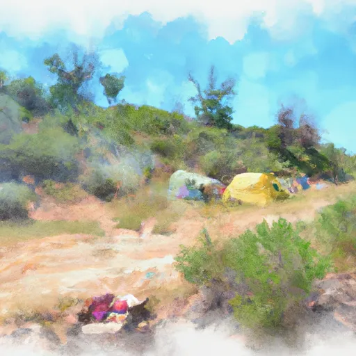
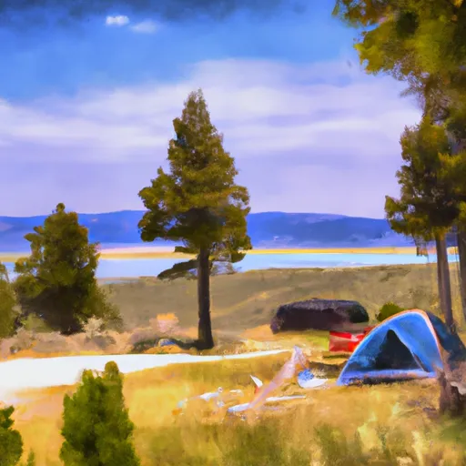
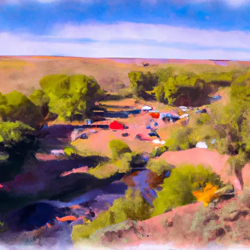
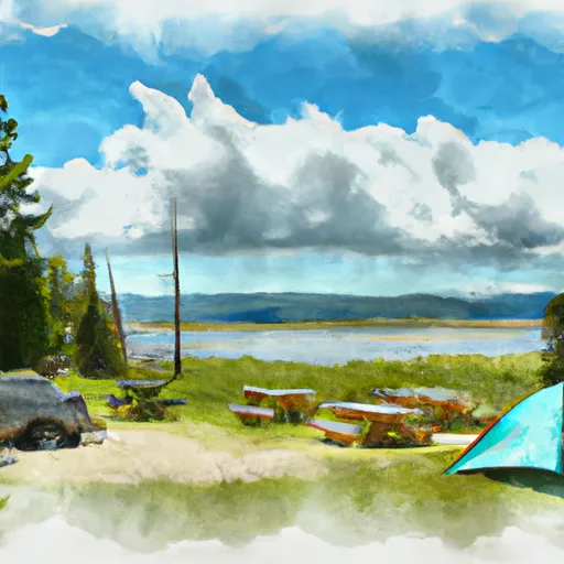
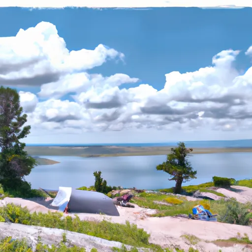
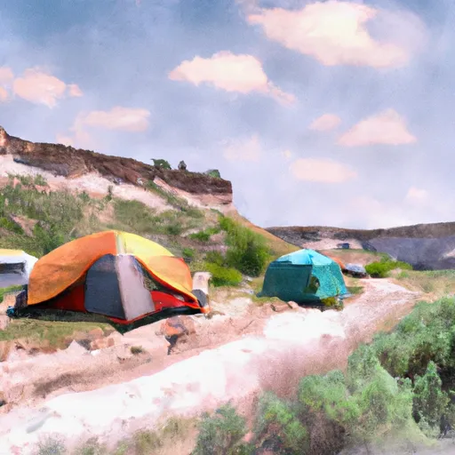
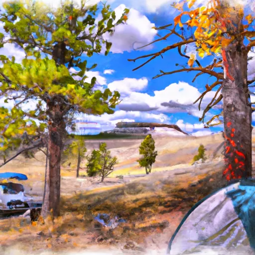
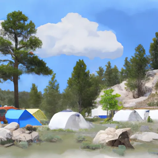
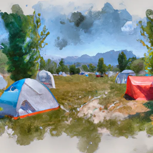
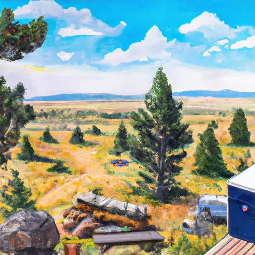
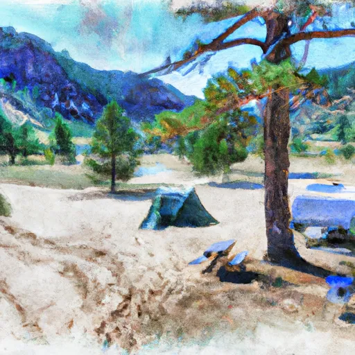
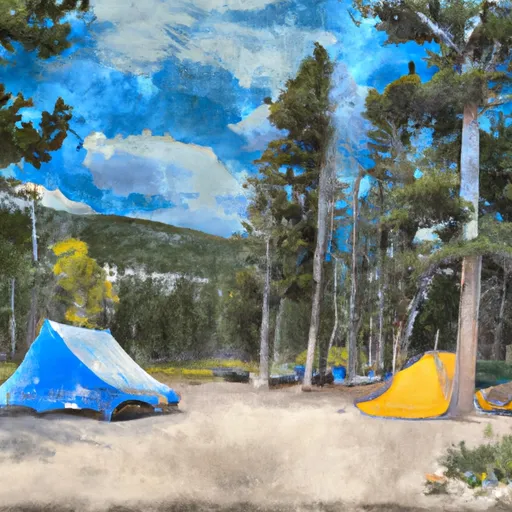
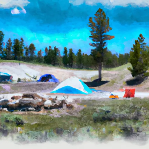
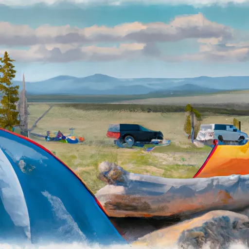
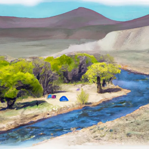
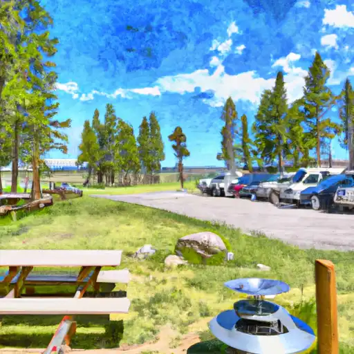
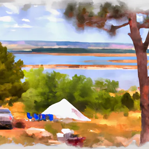
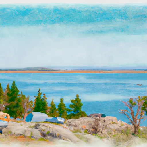
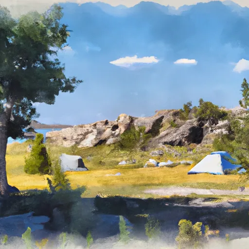
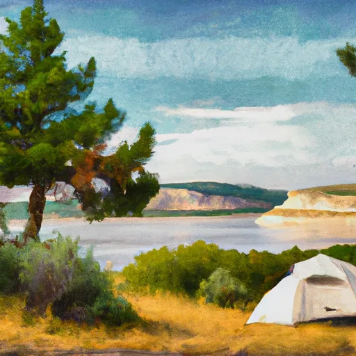
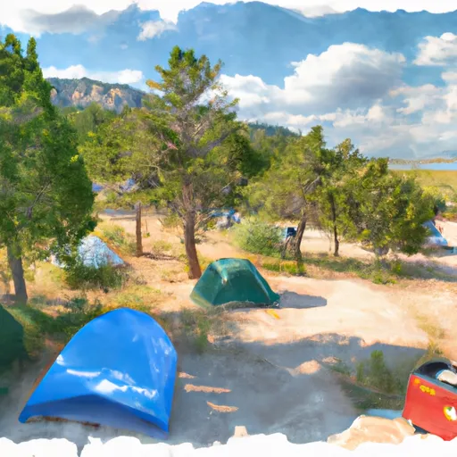
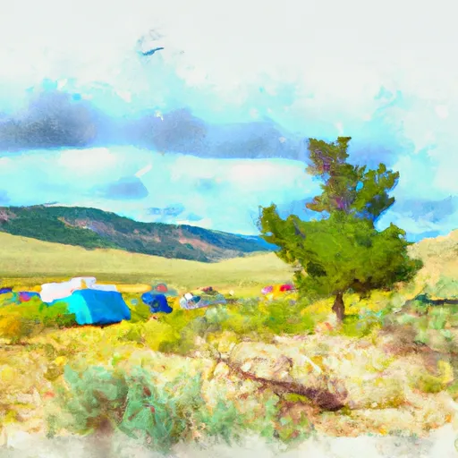
Camping in Yellowstone National Park
Campgrounds inside the park, with today's conditions score.


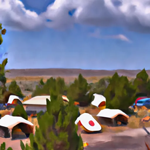
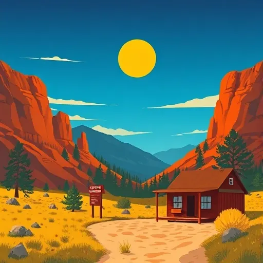
Points of interest in Yellowstone National Park
Landmarks and points of interest inside the park boundary.


Plan your visit down to the hour
Same weather feed Snoflo's iOS app uses -- updated continuously from NOAA / yr.no.
Next 5 days, hour by hour
Temperature line with weather symbols on top, snow + rain accumulation as columns, humidity as a dotted line.
5-day forecast table
Every 3 hours, broken out across temperature, snow, rain, humidity, and wind.
| Time | Condition | Temp (°F) | Snow (in) | Rain (in) | Humidity (%) | Wind (mps) | Wind dir |
|---|---|---|---|---|---|---|---|
| Loading detailed forecast… | |||||||
15-day temperature & precipitation
Daily temperatures, snow, and rain projected over the next two weeks.
Responsible recreation & Leave No Trace
- Know before you go
- Check the operator's site for hours, permit requirements, seasonal closures, and fire restrictions before heading out.
- Stay on trail
- Stick to marked paths to protect vegetation, prevent erosion, and avoid disturbing wildlife habitat.
- Respect wildlife
- Observe from a distance, never feed wildlife, and store food securely if camping is permitted on-site.
- Pack it in, pack it out
- Carry out all trash, food scraps, and gear. Many parks have limited or no trash service.
- Leave what you find
- Don't take rocks, plants, or artifacts. They make the park what it is for the next visitor.
Set push alerts in the Snoflo app
Save Yellowstone National Park as a favorite, set a custom threshold (precipitation, freezing temperatures, fire-restriction days), and the iOS app will push the moment conditions cross.
About Yellowstone National Park
What can I do at Yellowstone National Park?
Most Snoflo-tracked parks support hiking, picnicking, and wildlife viewing. Check the operator's site for activity-specific rules (camping, fishing, paddling, hunting).
How fresh is the weather data?
The hourly forecast updates throughout the day from NOAA / yr.no. Streamflow comes live from USGS streamgauges.
When is the best time to visit?
Use the 15-day temperature & precipitation outlook on this page to plan -- pick a window with comfortable temperatures and low precipitation.
How do I get to Yellowstone National Park?
Tap Directions in the hero above to open driving directions in Google Maps, or Open in map to center the Snoflo interactive map on the park.
Can I get alerts when conditions change?
Yes -- alerts are managed in the Snoflo iOS app. Favorite this park, set a threshold (temperature, precipitation), and you'll get a push the moment it crosses.
Park & land designation reference
A quick legend for the federal and state land categories Snoflo tracks. Each designation comes with different rules around access, recreation, and resource extraction.
- National Park
- Large protected natural areas managed by the federal government to preserve significant landscapes, ecosystems, and cultural resources; recreation is allowed but conservation is the priority.
- State Park
- Public natural or recreational areas managed by a state government, typically smaller than national parks and focused on regional natural features, recreation, and education.
- Local Park
- Community-level parks managed by cities or counties, emphasizing recreation, playgrounds, sports, and green space close to populated areas.
- Wilderness Area
- The highest level of land protection in the U.S.; designated areas where nature is left essentially untouched, with no roads, structures, or motorized motorized access permitted.
- National Recreation Area
- Areas set aside primarily for outdoor recreation (boating, hiking, fishing, often around reservoirs, rivers, or scenic landscapes); may allow more development.
- National Conservation Area (BLM)
- BLM-managed areas with special ecological, cultural, or scientific value; more protection than typical BLM land but less strict than Wilderness Areas.
- State Forest
- State-managed forests focused on habitat, watershed, recreation, and sustainable timber harvest.
- Bureau of Land Management (BLM) Land
- Vast federal lands managed for mixed use -- recreation, grazing, mining, conservation -- with fewer restrictions than national parks or forests.