Arizona Points of Interest

Oak Creek Canyon


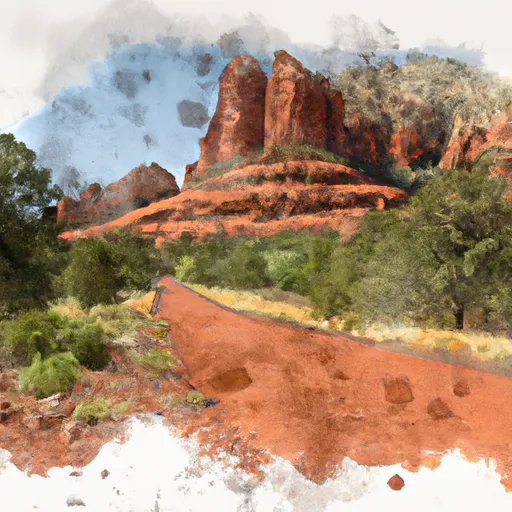
View of Oak Creek Canyon

View of Oak Creek Canyon from Oak Creek Vista


Oak Creek Canyon is a gorge carved into the edge of the Mogollon Rim of the Colorado Plateau along the Oak Creek Fault. Tectonic forces shifting the land to either side of the fault and subsequent erosion by Oak Creek have created a spectacular canyon where the geologic history of this area is an open book.

The Canyon is approximately 12 miles long. Oak Creek flows year-round along the bottom of the Canyon, providing water for plants and wildlife, as well as fishing and swimming opportunities. Oak Creek continues on through Sedona, Arizona, meeting up with the Verde River southeast of Cottonwood, Arizona.

The depth of the Canyon ranges from 800 to 2000 feet, with trails providing access from the Canyon’s bottom up to the 6500-foot eastern rim and 7200-foot western rim. Some of these trails follow historic routes early Oak Creek Canyon settlers used to access the top of the plateau in the days before the road was built. Trails on the west side of the Canyon head into Red Rock-Secret Mountain Wilderness.


The Creation of Oak Creek Canyon

Approximately 65 million years ago, during a period of great mountain building, movement along Oak Creek Fault caused the east side of what is now Oak Creek Canyon to shift upwards approximately 600 feet. The exposed top rock layers eroded away until the eastern and western sides of the fault were level once again.

A few more millions of years passed, and a canyon had formed. Streams carrying gravel, then lava, flowed into the canyon from the north. In the past six million years, the fault became active again and the modern Oak Creek Canyon was carved along it. This time, the fault caused the eastern rim of the Canyon to drop around 700 feet lower than the western rim.

One of the best places to get the big picture view of the Canyon’s fascinating geologic history is Oak Creek Vista. The Vista provides a view from the top of the Canyon, where the eastern drop is easily seen.

Learn more about the geology of Oak Creek Canyon (U.S. Forest Service).


Enjoying the Canyon

Oak Creek Canyon offers hiking, picnicking, camping, fishing, swimming, and endless vistas of colorful, soaring cliffs. The following resources will help you get the most from your visit:


OAK CREEK CANYON

Points of Interest
Location
A Sacred Place
Abandonment
Adjacent Worlds
Beaver
Cattail Marsh
Cliff Houses
Construction Sequence
Harvests from the Marsh
Homes On The Ridge
Inside Living
Irrigation Canal
Lakes of the Valley
Late Pueblo Architecture
Layers Of Time
Life and Death at Tuzigoot
Life Line
Minerals in the Mountains
Montezuma Well
Mysterious Departures
Oak Creek Canyon
Pit House Ruin - Mowe
Prehistoric Produce
Pueblo Living
Pueblo Rooms
Role of the River
Rooftop Living
Schnebly Hill Vista Observation Site
Tavasci Marsh Overlook Trail
The Advancing Marsh
The Beginning Of Agriculture
The Bountiful Verde Valley
The Community
The Forming Of Montezuma Well
The Mystery of their Leaving
The Neighborhood
The Plaza
The Ruins of Tuzigoot
The Way Up
Trade
Trail To Montezuma Castle
Underwater Chain Of Life
Verde Valley Vista
Welcome To Montezuma Well
Welcome To The Castle
Wild Riches
Windows In The Past

Nearby Camping
Location Campsites Reservations Toilets Showers Elevation
Manzanita 18 4,800 ft
Pine Flat 56 5,557 ft
Cave Springs 82 5,415 ft
Pine View RV Military - Camp Navajo Numerous 7,095 ft
Bootlegger 10 5,168 ft
Fort Tuthill Military - Luke AFB Numerous 6,997 ft
Fort Tuthill County Park Numerous 6,988 ft