Summary
Weather Forecast
Area Campgrounds
| Location | Reservations | Toilets |
|---|---|---|
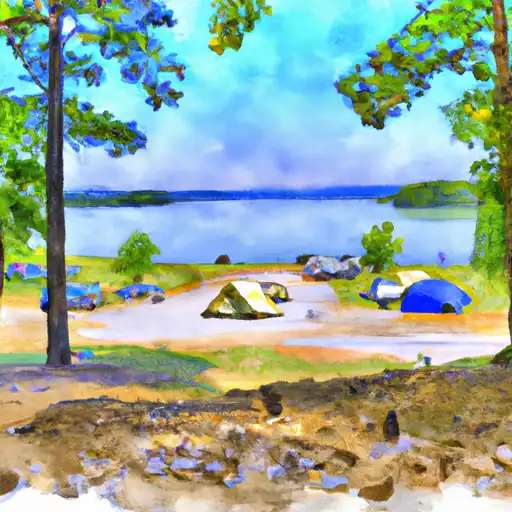 Joplin - Lake Ouachita
|
||
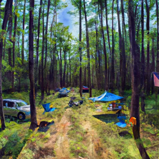 Big Fir
|
||
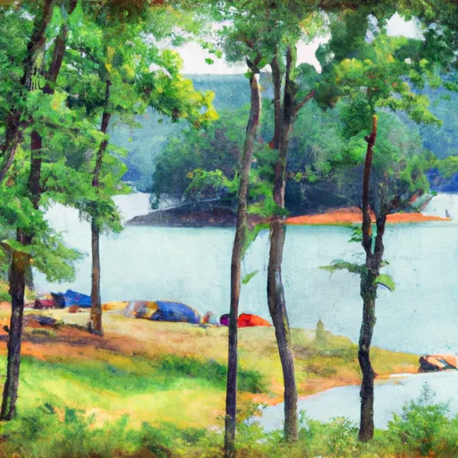 Crystal Springs - Lake Ouachita
|
||
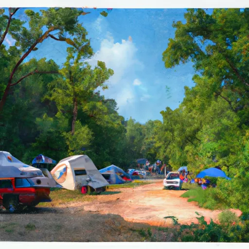 Charlton
|
||
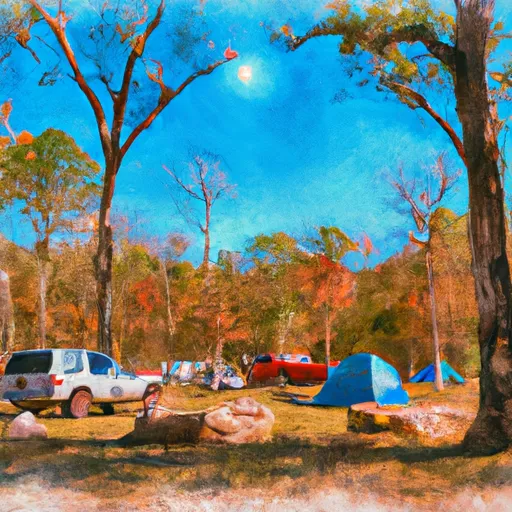 Charlton Recreation Area
|
||
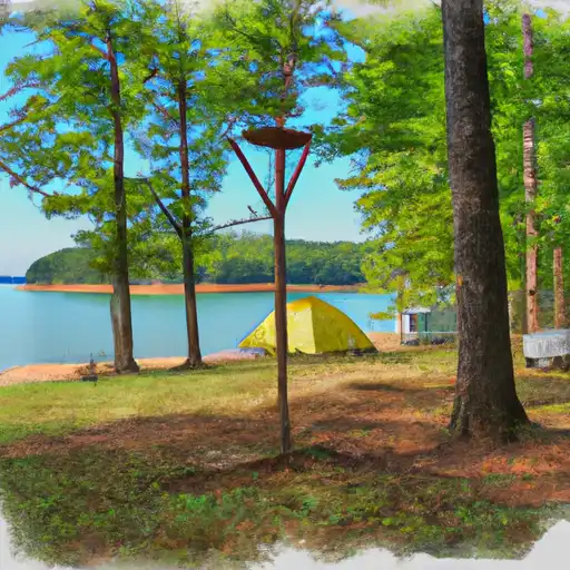 Tompkins Bend - Lake Ouachita
|
| Location | Reservations | Toilets |
|---|---|---|
 Joplin - Lake Ouachita
|
||
 Big Fir
|
||
 Crystal Springs - Lake Ouachita
|
||
 Charlton
|
||
 Charlton Recreation Area
|
||
 Tompkins Bend - Lake Ouachita
|