Arkansas Points of Interest

Leatherwood Wilderness


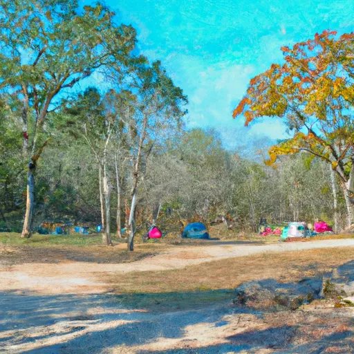
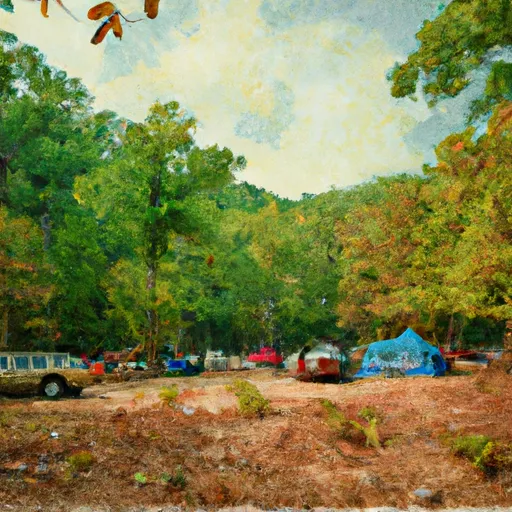
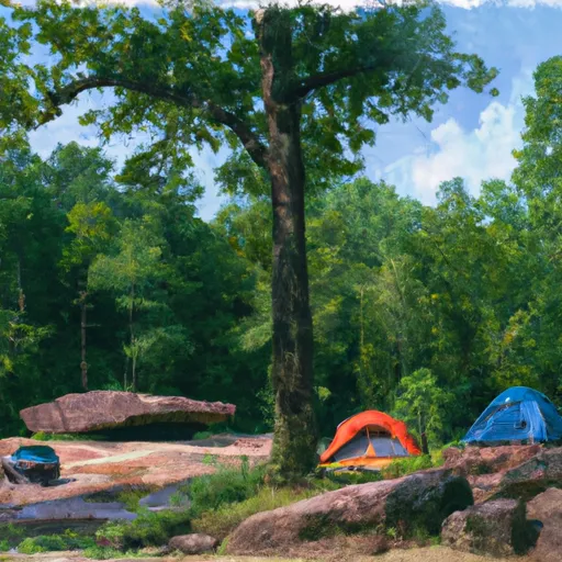
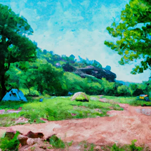
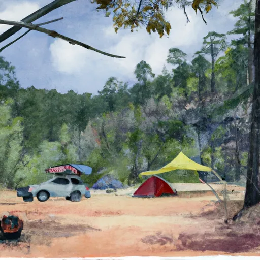
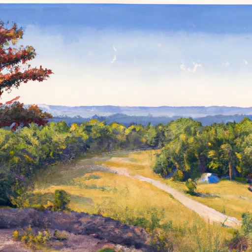
The Leatherwood Wilderness contains 16,838 acres are located on the Sylamore Ranger District. It lies approx 15 miles south of Mountain Home and 20 miles northwest of Mountain View, AR. It is bordered on the north, east, south, and southwest by 4 high ridgetop roads. The western boundary is shared with the Lower Buffalo Wilderness, which is administered by the National Park Service and is part of the Buffalo National River. There are 6 creeks within the Leatherwood Wilderness, which are separated by some of the most rugged, high ridgetop terrain in the Ozarks. They are characterized by steep-sided ridges over 1,200 ft high. Many are with long exposed sides of sheer vertical rock face and benches, giving the appearance of large stairsteps dropping into the drainage below. Elevation varies from 1,300 ft above sea level on the highest ridgetops to 420 ft where Leatherwood Creek exits the Wilderness. The forest is spotted with stands of native shortleaf pine as well as the unique cedar glades nestled within the primarily oak, gum, and hickory forest. There are no developed trails, but several old roads offer access into the wilderness. Points of Interest - Buffalo National River: was the country's first national river. Lower Buffalo Wilderness: expect to see bluffs, waterfalls, and old cabin sites. White River: Known for its abundance of trout and its scenery, featuring some of the best bluffs in the Ozarks.


LEATHERWOOD WILDERNESS
Campground Restrictions
Wilderness Regulations prohibit the use of any mechanized or motorized equipment including motorcycles, bicycles, or portable motors such as generators and chainsaws.

Points of Interest
Location
Brantley House Ruin
Buffalo Point Visitor Contact Station
Bundy House
Collier Homestead Barn
Collier Homestead Cistern
Collier Homestead House
Collier Homestead Smokehouse
Erbie Church
Hicks Hotel
Hicks Store
James A. Villines (Beaver Jim) Barn
James A. Villines (Beaver Jim) Chicken House
James A. Villines (Beaver Jim) Corn Crib
James A. Villines (Beaver Jim) Fruit Cellar
James A. Villines (Beaver Jim) House
James A. Villines (Beaver Jim) Smokehouse
James A. Villines (Beaver Jim) WPA Outhouse
Kastning House
Leatherwood Wilderness
Morning Star Mill Ruins
New White Eagle Mill Ruins
Old White Eagle Mill Ruins
Parker-Hickman Board Barn
Parker-Hickman Chicken House
Parker-Hickman Corn Crib
Parker-Hickman House
Parker-Hickman Log Barn
Parker-Hickman Machine Shed
Parker-Hickman Smokehouse
Parker-Hickman WPA Outhouse
Rabey House Ruins
Richland Creek Wilderness
Rush Ghost Town
Rush Smelter
Storekeeper's House
Taylor-Medley General Store
Tyler Bend Visitor Center
Upper Buffalo Wilderness Area
Warehouse Ruins
Washhouse
William Villines Corn Crib
William Villines Harness Shed
William Villines Log Barn/House

Nearby Camping
Location Campsites Reservations Toilets Showers Elevation
Gamaliel - Norfolk Lake Numerous 648 ft
Lake DArbonne State Park Numerous 191 ft
Bidwell Point - Norfolk Lake Numerous 549 ft
Downtown Riverside RV Park 69 250 ft
Burns Park 38 280 ft
Maumelle Numerous 281 ft
Quarry Cove - Norfolk Lake Numerous 628 ft
Finger Lakes State Park Numerous 725 ft
Rippee Conserrvation Area - MDC Numerous 793 ft
Henderson - Norfolk Lake Numerous 590 ft
Moro Bay State Park Numerous 90 ft
Patrick Bridge Access - MDC 12 613 ft
Cranfield - Norfolk Lake Numerous 566 ft
Panther Bay - Norfolk Lake Numerous 639 ft
Robinson Point - Norfolk Lake Numerous 605 ft
Barkshed 6 559 ft
Binder Park 17 655 ft
Rothwell Park Numerous 858 ft
Woolly Hollow State Park Numerous 483 ft
Camp Robinson RV Military Numerous 512 ft
Old Lock and Dam 8 5 91 ft