Arkansas Points of Interest

Richland Creek Wilderness


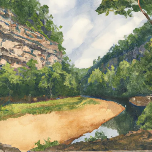
The Richland Creek Wilderness was created by the 1984 Arkansas Wilderness Act and contains 11,801 acres in the middle of the Boston Mountains. One of three wildernesses on the Buffalo Ranger District, it takes its name from the main creek running through the area with the rich, fertile soil along the lower creek portion near the Buffalo River. An unusual feature of the Ozark Mountains is that the “mountains” are actually plateaus, uplifted as a unit with few folds or faults. The ruggedness of these mountains is due to erosion of the plateaus caused by swift rivers flowing between them. Topography within 1/4 mile on either side of Richland and Long Devil’s Fork Creeks is quite rugged and scenic. Rock bluffs over 100 feet high and extending over a mile along each side of Richland Creek graphically reveal the earth’s development. The forest cover is mostly second and third growth oak-hickory. Some scattered stands of shortleaf pine in old fields exist from when the Forest Service purchased the land in the 1930s and 1940s. There are no developed trails located in the wilderness. There is a system of old logging roads that run throughout the area and receive sporadic use. Kayakers float Richland Creek after rains have raised the creek water level. The wilderness area is known for its crystal clear creeks and waterfalls. Remember to take drinking water or a filtration device with you for your safety.


RICHLAND CREEK WILDERNESS

Points of Interest
Location
Brantley House Ruin
Buffalo Point Visitor Contact Station
Bundy House
Collier Homestead Barn
Collier Homestead Cistern
Collier Homestead House
Collier Homestead Smokehouse
Erbie Church
Hicks Hotel
Hicks Store
James A. Villines (Beaver Jim) Barn
James A. Villines (Beaver Jim) Chicken House
James A. Villines (Beaver Jim) Corn Crib
James A. Villines (Beaver Jim) Fruit Cellar
James A. Villines (Beaver Jim) House
James A. Villines (Beaver Jim) Smokehouse
James A. Villines (Beaver Jim) WPA Outhouse
Kastning House
Leatherwood Wilderness
Morning Star Mill Ruins
New White Eagle Mill Ruins
Old White Eagle Mill Ruins
Parker-Hickman Board Barn
Parker-Hickman Chicken House
Parker-Hickman Corn Crib
Parker-Hickman House
Parker-Hickman Log Barn
Parker-Hickman Machine Shed
Parker-Hickman Smokehouse
Parker-Hickman WPA Outhouse
Rabey House Ruins
Richland Creek Wilderness
Rush Ghost Town
Rush Smelter
Storekeeper's House
Taylor-Medley General Store
Tyler Bend Visitor Center
Upper Buffalo Wilderness Area
Warehouse Ruins
Washhouse
William Villines Corn Crib
William Villines Harness Shed
William Villines Log Barn/House

Nearby Camping
Location Campsites Reservations Toilets Showers Elevation
Petit Jean State Park Numerous 900 ft
Lead Hill - Bull Shoals Lake Numerous 678 ft
Drury-Mincy Conservation Area - MDC 4 976 ft
Camp Ridge 91 1,347 ft
Carver - Buffalo National River Numerous 710 ft
Cedar Glades Park Numerous 562 ft
Versailles City Park Numerous 990 ft
Richland Creek 13 1,034 ft
Shadow Rock Park Numerous 676 ft
Tucker Hollow - Bull Shoals Lake Numerous 697 ft
Gulpha Gorge - Hot Springs National Park 44 540 ft
Bennett Spring State Park Numerous 880 ft
Bayou Bluff 28 634 ft
River Run Numerous 701 ft
Lake Catherine State Park Numerous 396 ft
White Oak Lake State Park Numerous 208 ft
Cobb Ridge 19 1,360 ft