Summary
It is a narrow canyon with steep, rocky walls that were formed by a combination of erosion from the Gunnison River and tectonic activity. The gulch is approximately 3 miles long and offers a variety of hiking trails that range from easy to moderate difficulty. Visitors can enjoy stunning views of the surrounding landscape and observe a variety of wildlife, including mule deer, elk, and mountain lions.
One of the main attractions of Wells Gulch is the opportunity to see a variety of geological formations, such as sandstone cliffs, hoodoos, and spires. The area is also home to several unique plant species that are adapted to the arid climate, including cacti and sagebrush. Visitors can also explore the remains of an old homestead that was built in the early 1900s and learn about the history of the area. Overall, Wells Gulch is a must-visit destination for anyone interested in geology, hiking, and wildlife observation in Colorado.

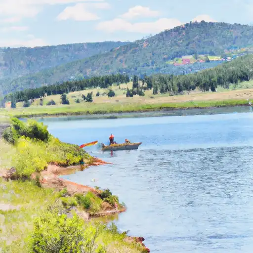
 Juniata Reservoir
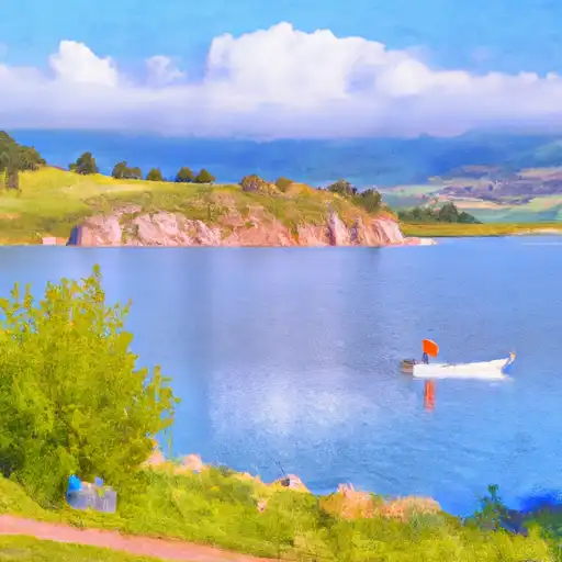
 Confluence Lake
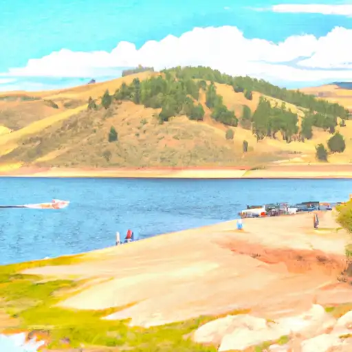
 Porter Reservoir #4 (Little Davies)
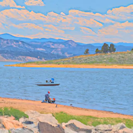
 Porter Reservoir #1