Summary
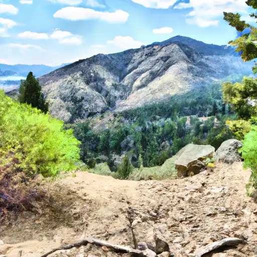
Located near Pocatello, the area offers a variety of activities such as hiking, fishing, picnicking, and wildlife viewing. The day use area is situated near the Portneuf River, where visitors can enjoy the peaceful sound of the flowing water and observe a variety of fish species such as trout, mountain whitefish, and sculpin. The area also boasts a well-maintained trail system that provides scenic views of the surrounding mountains and valleys. Visitors can explore the trails on foot or bike, and may encounter wildlife such as elk, deer, and a variety of birds.
One of the main reasons to visit the Lower Blackrock Day Use Area is the opportunity to relax and enjoy the beauty of nature. The area offers a peaceful setting where visitors can escape the hustle and bustle of city life and immerse themselves in a natural environment. Additionally, the area is easily accessible from Pocatello, making it a convenient destination for a day trip or weekend getaway. Visitors can pack a picnic lunch and spend the day exploring the trails, fishing in the river, or simply relaxing in the shade of a tree. Overall, the Lower Blackrock Day Use Area is a must-see destination for anyone seeking outdoor recreation and natural beauty in the Portneuf watershed of Idaho.
Weather Forecast
Area Campgrounds
| Location | Reservations | Toilets |
|---|---|---|
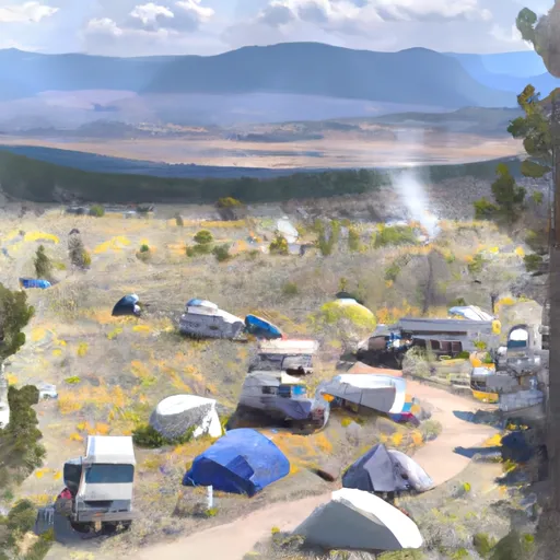 Lower Blackrock Campsite
|
||
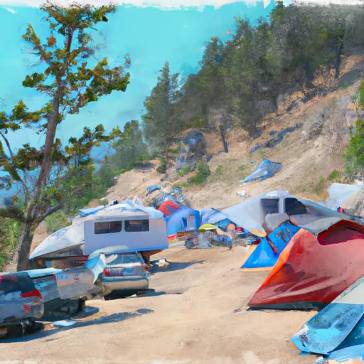 East Blackrock Campsite
|
||
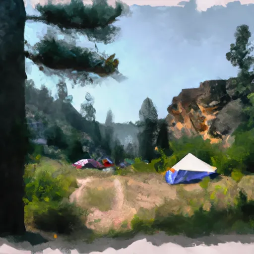 Upper Blackrock Campsite
|
||
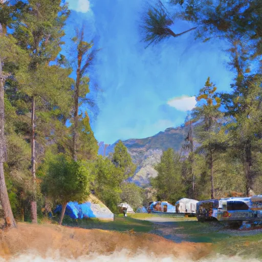 Mink Creek Group Campground
|
||
 Scout Mountain
|
||
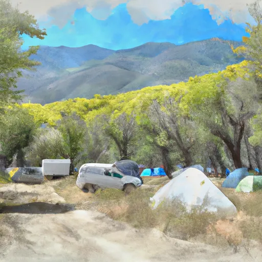 Scout Mountain Campground
|
