Summary
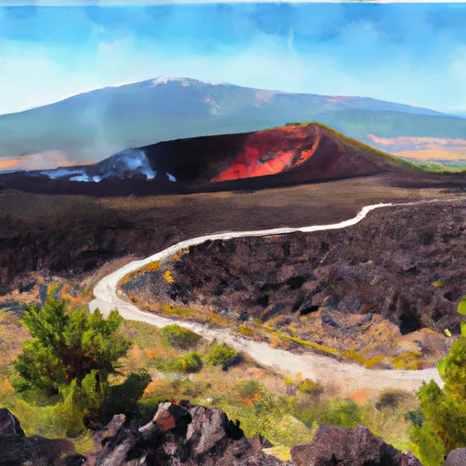
The crater was formed over 2 million years ago by a volcanic eruption that left a 200-foot deep depression in the landscape. Today, visitors can hike along the rim of the crater and take in the stunning panoramic views of the surrounding countryside. The area is also a popular spot for birdwatching, with many species of birds making their homes in the surrounding wetlands.
One of the unique things about the Snowdrift Crater is the unusual rock formations that can be found in and around the crater. These formations are made up of volcanic tuff, a type of rock that was formed from volcanic ash that was compacted and fused together over time. The tuff formations are often covered in a thick layer of lichen, giving them a distinctive greenish-gray color. Visitors to the Snowdrift Crater can also see evidence of the area's volcanic past in the form of lava flows and ash deposits. All in all, the Snowdrift Crater is a must-visit destination for anyone interested in geology, hiking, or birdwatching.
Weather Forecast
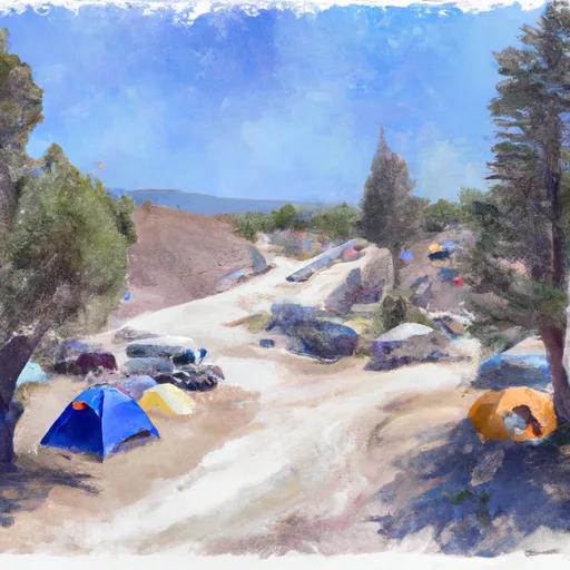
Area Campgrounds
| Location | Reservations | Toilets |
|---|---|---|
 McClendon Spring
|
||
 Lava Flow - Craters of the Moon National Mon
|
||
 Lava Flow Campground
|
