Summary
This geological formation is a popular point of interest for visitors to the area, and for good reason.
Split Bow Arch is a natural arch formation that has been carved out of the sandstone rock by thousands of years of wind and water erosion. The arch is located high up on a cliff, providing stunning views of the surrounding forest and rock formations.
One of the unique things about Split Bow Arch is its shape. The arch is split in two, resembling a bow that has been pulled back and ready to shoot an arrow. Visitors can walk under the arch and even climb up onto the top of it for even better views.
Another reason to visit Split Bow Arch is the hiking opportunities in the area. There are several trails in the Red River Gorge that lead to the arch, including the popular Rough Trail. Hiking to the arch is a great way to experience the natural beauty of the area and get some exercise at the same time.
Overall, Split Bow Arch is a must-see destination for anyone visiting the Red River Gorge Geological Area. Its unique shape and stunning views make it a great spot for photos, and the hiking opportunities in the area make it a great way to experience the beauty of the Kentucky wilderness.
Weather Forecast
Area Campgrounds
| Location | Reservations | Toilets |
|---|---|---|
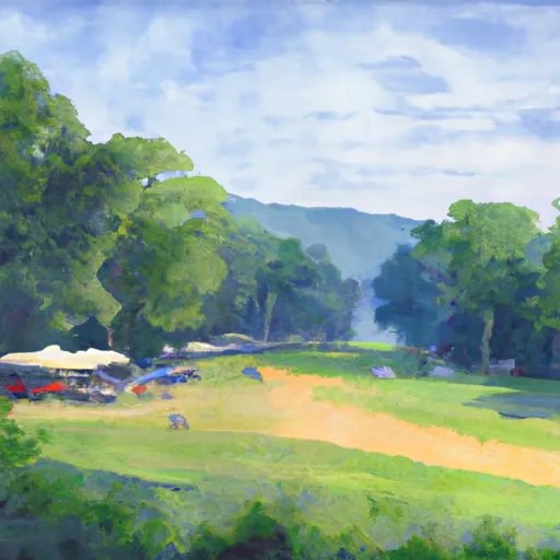 Bear Creek Horse Camp
|
||
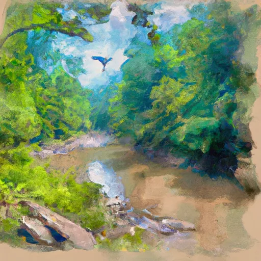 Blue Heron - Big South Fork Area
|
||
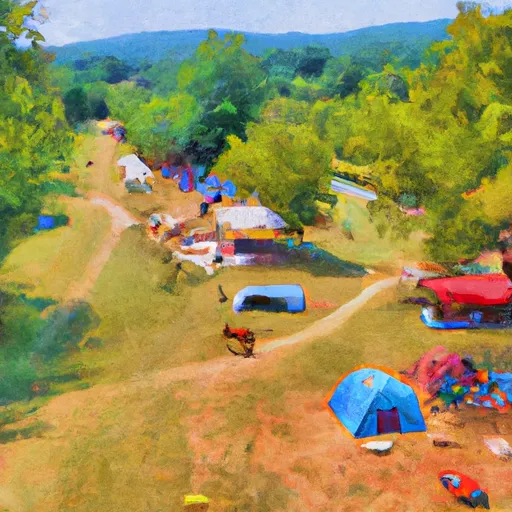 Station Camp Horse Camp
|
||
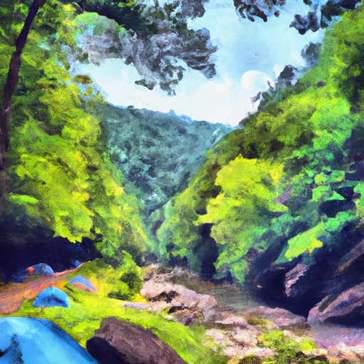 Alum Ford - Big South Fork Area
|
||
 Alum Ford
|
||
 Great Meadows Campground
|
