Summary
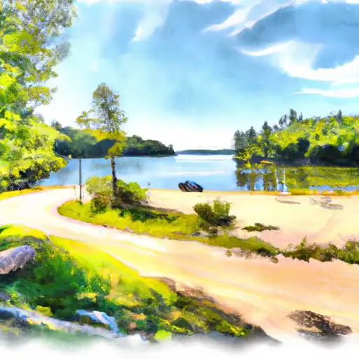
This center serves as a gateway to the Namekagon River, a designated National Wild and Scenic River. This makes it a perfect destination for nature lovers and outdoor enthusiasts.
One of the main reasons to visit the Namekagon River Visitor Center is to learn about the history, ecology, and management of the river. The center features interactive exhibits, educational displays, and a variety of educational programs that offer visitors an opportunity to learn about the river's unique ecosystem, including its fish and wildlife populations, geology, and cultural significance.
In addition to learning, the center also offers outdoor recreational opportunities. It provides access to the Namekagon River, where visitors can enjoy activities such as fishing, canoeing, kayaking, and tubing. The river also offers beautiful scenery for hiking, bird watching, and wildlife observation.
Visitors to the Namekagon River Visitor Center can also enjoy a variety of amenities. These include picnic areas, campgrounds, and restrooms. The center also has a gift shop that sells books, maps, and souvenirs.
Overall, the Namekagon River Visitor Center is a must-visit destination for anyone interested in learning about the natural beauty and rich history of the Namekagon River. It offers an opportunity to explore the river's unique ecosystem and enjoy a variety of outdoor recreational activities.
Weather Forecast
Area Campgrounds
| Location | Reservations | Toilets |
|---|---|---|
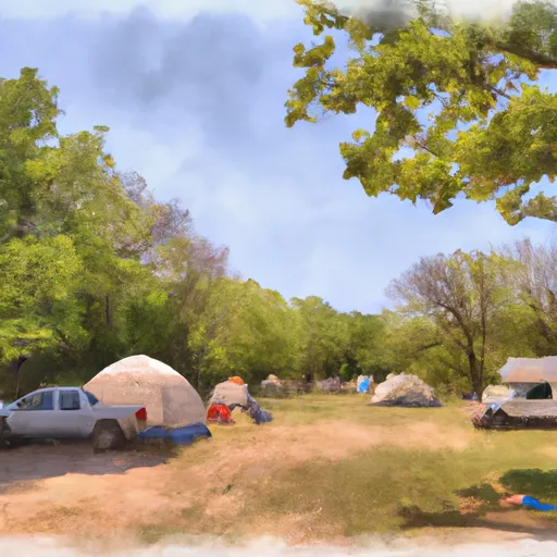 Trego Park
|
||
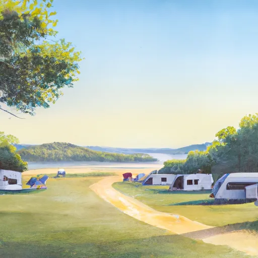 Trego Lake County Park
|
||
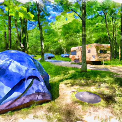 Trego Town Park
|
||
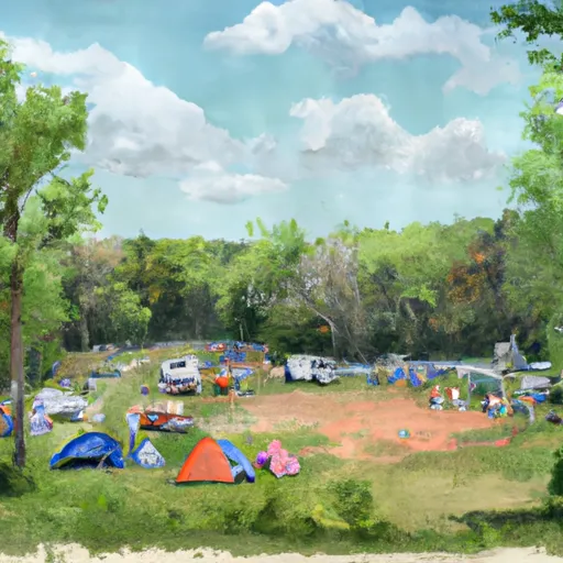 Earl Park
|
||
 Earl
Earl
|
||
 Earl Landing - St. Croix National Scenic River
|
