Summary
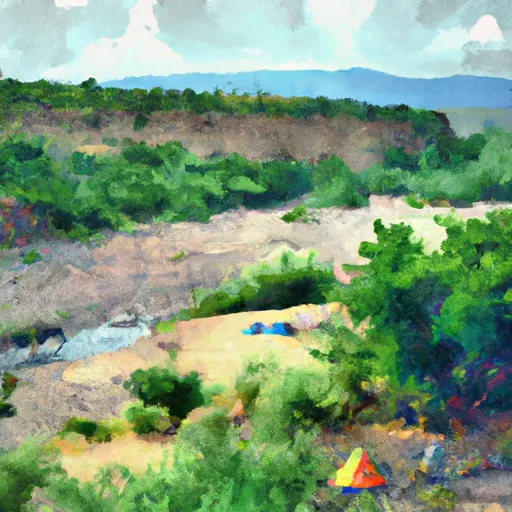
The overlook is situated at an elevation of over 9,000 feet and provides a panoramic view of the Taos Valley, the Sangre de Cristo Mountains, and the Rio Grande Gorge. The area is known for its unique geology and geological formations, including volcanic rocks and ancient sedimentary deposits. Visitors can also observe a variety of wildlife, including birds of prey, elk, and bighorn sheep. The area is also rich in cultural history, with evidence of Native American settlements dating back hundreds of years.
There are many good reasons to visit the Chawalauna Overlook, including the stunning views and unique geological formations. Visitors can enjoy hiking trails, birdwatching, and opportunities to learn about the cultural and natural history of the area. The overlook is also easily accessible by car, making it a great destination for a day trip. Additionally, the area is known for its dark skies, providing a unique opportunity for stargazing and astrophotography. Overall, the Chawalauna Overlook is a must-visit destination for anyone interested in experiencing the natural beauty and cultural history of New Mexico.

 Big Arsenic Springs
 Rio Grande Gorge Shelter
 Big Arsenic Springs - Wild Rivers Rec Area
 Little Arsenic Springs Campsite
 Montoso - Wild Rivers Rec Area
 Little Arsenic Springs Campground