Summary
This ancient site was once the center of an ancient civilization and is considered one of the most significant cultural sites in the entire country. There are several reasons why visitors should consider exploring this remarkable destination.
First, the Power House is an excellent place to learn about the history and culture of the Chacoan people. The site was once home to a complex system of roads and buildings that were used for religious ceremonies and trading. Visitors can explore the ruins and imagine what life may have been like for the people who lived here centuries ago.
Second, the Power House is a great place to see ancient engineering at work. The site features a large, circular kiva that was used for ceremonies and gatherings. The kiva is unique because it was designed to capture and amplify sound, allowing people to hear each other from great distances. Visitors can stand in the kiva and experience the incredible acoustics for themselves.
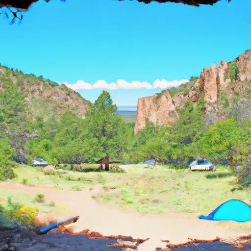
Finally, the Power House offers stunning views of the surrounding landscape. The site is situated on a hill overlooking the Chaco Canyon and provides a breathtaking panorama of the area. Visitors can take in the beauty of the desert landscape and appreciate the unique geological features that make this region so special.
In conclusion, the Power House is an exceptional destination for anyone interested in history, culture, and natural beauty. With its fascinating ruins, ancient engineering, and stunning views, the site is a must-see for anyone visiting the Chaco Culture National Historical Park.
Weather Forecast
Area Campgrounds
| Location | Reservations | Toilets |
|---|---|---|
 Ponderosa Reservation Group Campground
|
||
 Juniper - Bandelier National Monument
|
||
 Santa Clara Canyon Campground
|

 Ashley Pond
 Orange St Playlot
 Walnut St Playlot
 Homestead Crossing Trail
 Picnic Area