Summary
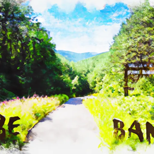
The overlook provides visitors with a panoramic view of the surrounding mountains and valleys, as well as a glimpse into the history of the area.
One of the primary reasons to visit Boone's Trace Overlook is for the breathtaking views. Visitors can see for miles, taking in the natural beauty that surrounds them. The overlook is also a great spot for birdwatching, with a variety of species, including hawks and falcons, commonly seen in the area.
Additionally, Boone's Trace Overlook has significant historical value. It provides a view of the Cumberland Gap, which served as a critical passageway for early settlers and Native Americans. The overlook is also part of the Boone Trace Trail, a historic path that was used by Daniel Boone and other pioneers as they journeyed westward.
Visitors to Boone's Trace Overlook can explore the area via a short hiking trail that leads to the top of the overlook. Along the way, they'll encounter a variety of flora and fauna, making the hike a unique and memorable experience.
Overall, Boone's Trace Overlook is a must-see destination for anyone visiting Cumberland Gap National Historical Park. Its stunning views, fascinating history, and natural beauty make it a point of interest that should not be missed.
Weather Forecast
Area Campgrounds
| Location | Reservations | Toilets |
|---|---|---|
 Goshen Creek
|
||
 Deep Gap Campsite
|
||
 Honey Bear Campground
|
||
 Old Johns River Road
|
||
 Price Park Campground
|
||
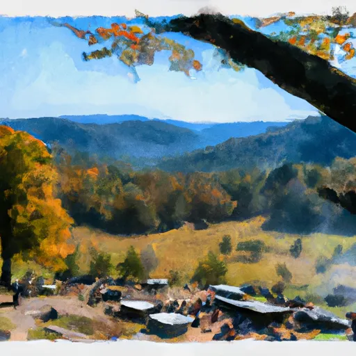 Julian Price - Blue Ridge Parkway
|

 Elk Knob State Park
 Tater Hill Plant Conservation Preserve
 Bear Paw State Natural Area