North-Carolina Points of Interest

Graveyard Fields Overlook


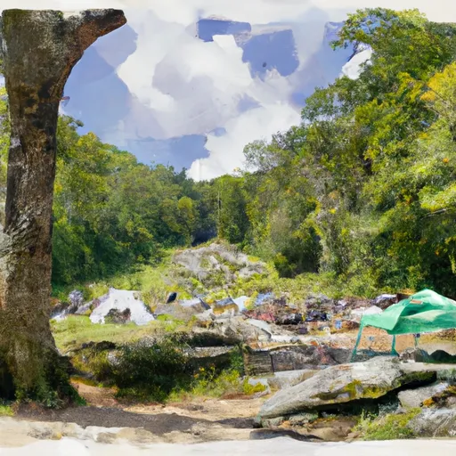
The Graveyard Fields Overlook is a popular destination within the Pisgah National Forest in North Carolina. This area features stunning panoramic views of the surrounding mountains, as well as access to hiking trails and waterfalls.

One of the main reasons to visit the Graveyard Fields Overlook is to take in the breathtaking views. From this vantage point, visitors can see the nearby Blue Ridge Parkway and the Great Smoky Mountains in the distance. The overlook is also a great spot for photography, especially during the fall when the leaves change color.

Another unique feature of the Graveyard Fields area is the unusual landscape. The area gets its name from the large number of tree stumps and logs that litter the ground, making it appear like a graveyard. This is the result of a logging operation that took place in the early 1900s, and the stumps have since been weathered into interesting shapes and patterns.

Visitors to the Graveyard Fields Overlook can also access hiking trails that lead to two nearby waterfalls. The first, Lower Falls, is a 30-foot cascade that is easily accessible from the parking area. The second, Upper Falls, is a more challenging hike that offers stunning views of the surrounding forest.

Overall, the Graveyard Fields Overlook is a must-see destination for anyone visiting the Pisgah National Forest. With its stunning views, unique landscape, and access to hiking trails and waterfalls, it offers something for everyone. Get driving directions.
GRAVEYARD FIELDS OVERLOOK

Points of Interest
Location
Allen Grove Overlook
Balsam Gap Overlook
Beartrap Gap Overlook
Buck Springs Parking Area
Cosby Overlook
Courthouse Valley Overlook
Cove Field Ridge Overlook
Daniel Cook Cabin (Cataloochee)
Devils Courthouse Overlook
Doubletop Mountain Overlook
East Fork Overlook
Ferguson Cabin
Flat Laurel Gap Parking Area
Fork Ridge Overlook
Funnel Top Overlook
Graveyard Fields Overlook
Greasy Cove Overlook
Herrin Knob Pullout
Hiram Caldwell Barn
Hiram Caldwell House
Indian Creek (Beech Grove) School
Jarvis Palmer Barn
Jarvis Palmer House
Jim Hannah Cabin
John Rock Parking Area
Jonathan Creek Overlook
Lone Bald Overlook
Mount Hardy Overlook
Mount Pisgah Parking Area
Mt. Cammerer Overlook
Rabb Knob Overlook
Roy Taylor Forest Overlook
Saunook Overlook
Standing Rock Overlook
Steestachee Bald Overlook
Steve Woody House
Waynesville Overlook
Will Messer Barn
Willis Baxter Cabin
Wolf Mountain Pullout

Nearby Camping
Location Campsites Reservations Toilets Showers Elevation
Springfield Numerous 657 ft
Mile Creek County Park Numerous 816 ft
Table Rock State Park 100 1,153 ft
Davidson River 160 2,166 ft
Richard B. Russell State Park Numerous 598 ft
Rocky Bluff 30 1,753 ft
Miltown Numerous 696 ft
Sunburst 10 3,230 ft
South Cove County Park Numerous 824 ft
Hart State Park Numerous 724 ft
Paint Creek 21 1,750 ft
Keowee - Toxaway State Natural Area 25 1,082 ft
Coneross - Hartwell Lake 105 683 ft
Oconee Point - Hartwell Lake 70 673 ft
Sadlers Creek State Park 60 685 ft
High Falls County Park Numerous 850 ft
Twin Lakes - Hartwell Lake 100 756 ft
Devils Fork State Park 85 1,099 ft
Watsadlers Numerous 680 ft
Mount Pisgah - Blue Ridge Parkway Numerous 4,859 ft
Kinser Park Numerous 1,314 ft
Houston Valley Numerous 1,843 ft
Springfield - Hartwell Lake 80 694 ft