Summary
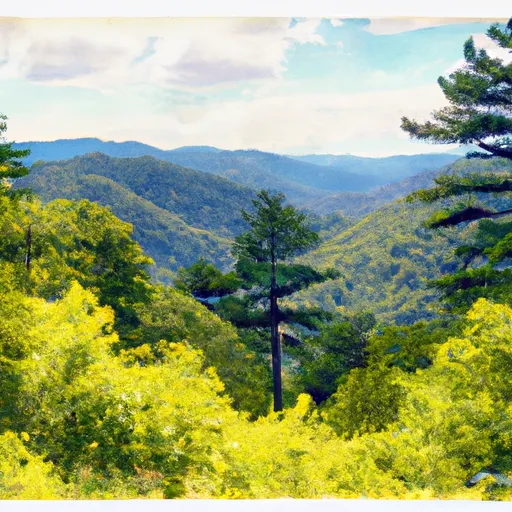
Located in the Pisgah National Forest, this overlook provides stunning views of the surrounding mountains and valleys.
One of the main reasons to visit the Lost Cove Cliffs Overlook is to experience the breathtaking scenery. Visitors can take in the panoramic views of the Blue Ridge Mountains and the Linville Gorge Wilderness Area, including the iconic Table Rock and Hawksbill Mountain. The overlook is also a popular spot for birdwatchers, as a wide variety of species can be seen soaring above the cliffs.
In addition to the stunning views, the Lost Cove Cliffs Overlook is also home to a unique geological feature called the Lost Cove Cliffs. These towering, jagged cliffs are made of amphibolite, a rock type that is rare in the eastern United States. Visitors can marvel at the sheer size and rugged beauty of these cliffs, which have been shaped by millions of years of erosion.
Hiking enthusiasts will also enjoy the Lost Cove Cliffs Overlook, as there are several trails that lead to and from the overlook. The Overmountain Victory Trail, which follows the route of Revolutionary War soldiers, passes by the overlook and offers a glimpse into the area's rich history.
Overall, the Lost Cove Cliffs Overlook is a must-visit destination for anyone looking to experience the natural beauty and unique geological features of North Carolina's mountains. Whether you're a seasoned hiker or simply looking for a scenic spot to take in the views, the Lost Cove Cliffs Overlook is sure to leave a lasting impression.
Weather Forecast
Area Campgrounds
| Location | Reservations | Toilets |
|---|---|---|
 Linville Falls Campground
|
||
 Linville Falls - Blue Ridge Parkway
|
||
 Linville Falls
|
||
 Attic Window
|
||
 Alpine Meadow
|
||
 Calloway Gap
|

 Julian Price Memorial Park
 Bear Paw State Natural Area
 Yellow Mountain State Natural Area
 Moses H Cone Memorial Park
 Beech Creek Bog State Natural Area