Summary
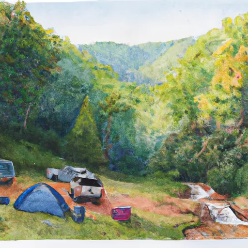
This scenic viewpoint is situated at an elevation of 5,280 feet, hence the name "Mile High". Here are some good reasons to visit Mile High Overlook:
1. Breathtaking Views: Visitors are treated to stunning panoramic views of the surrounding mountains and valleys. The overlook provides an unobstructed view of the landscape, making it an ideal location to take photos.
2. Hiking Trails: There are several hiking trails that start from Mile High Overlook, including the Tanawha Trail and Rough Ridge Trail. These trails are known for their scenic beauty and offer various levels of difficulty for hikers of all levels.
3. Wildlife Viewing: The Mile High Overlook is home to various species of wildlife, including black bear, deer, and red-tailed hawks. Visitors can observe these animals in their natural habitat from the safety of the overlook.
4. Fall Foliage: During the fall season, the Mile High Overlook offers a spectacular display of fall foliage. The mountains are painted in hues of red, yellow, and orange, making it a popular destination for leaf peepers.
5. Historical Significance: The Blue Ridge Parkway and Mile High Overlook have significant historical and cultural importance. Visitors can learn about the history of the region and its people through interpretive signs and exhibits.
In summary, Mile High Overlook is a must-visit destination for its stunning views, hiking trails, wildlife viewing, fall foliage, and historical significance. Visitors to this point of interest are sure to have a memorable and enriching experience.
Weather Forecast
Area Campgrounds
| Location | Reservations | Toilets |
|---|---|---|
 Balsam Mountain Campground
|
||
 Balsam Mountain - Great Smoky Mountains
|
||
 41
41
|
||
 #41 Caldwell Fork
|
||
 #42 Spruce Mountain
|
||
 40
40
|
