Summary
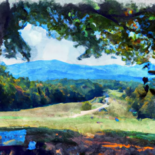
This National Park Service site offers visitors a chance to take in breathtaking views of the Mills River Valley.
There are several good reasons to visit this overlook, starting with its stunning natural beauty. From the overlook, visitors can take in panoramic views of the surrounding mountains and valleys, including the beautiful Mills River Valley below. The overlook is also an excellent spot for birdwatching, with many species of birds known to frequent the area.
One unique feature of the Mills River Valley Overlook is the presence of several hiking trails in the area. These trails offer visitors a chance to explore the surrounding wilderness, and to experience the natural beauty of the area up close. Some of the most popular hiking trails in the area include the Mills River Trail and the Turkeypen Gap Trail.
Visitors to the Mills River Valley Overlook should also keep an eye out for the many cultural and historical landmarks in the area. These include the historic Masonic Marker, which dates back to the early days of the Blue Ridge Parkway, and the nearby Mills River Presbyterian Church, which is one of the oldest churches in the state of North Carolina.
Overall, the Mills River Valley Overlook is a must-see destination for anyone visiting the North Carolina section of the Blue Ridge Parkway. With its stunning views, excellent hiking trails, and rich cultural and historical heritage, this National Park Service site offers visitors an unforgettable experience in one of the most beautiful parts of the country.
Weather Forecast
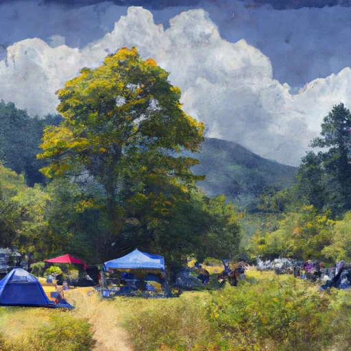
Area Campgrounds
| Location | Reservations | Toilets |
|---|---|---|
 Mount Pisgah - Blue Ridge Parkway
|
||
 Mount Pisgah Campground
|
||
 Mt Pisgah
|
||
 WF-3
WF-3
|
||
 North Mills River
|
||
 North Mills River Campground
|

 Lake Julian Park
 Brooklawn Park
 Cold Mountain Game Land
 The French Broad River Park