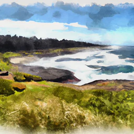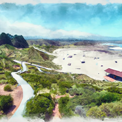
DEVILS CHURN DAY USE

POINTS OF INTEREST
December 26, 2024
55 ft 44.28, -124.11

Hydrologic Outlook
None

ESFPQR A series of systems will continue the wet weather pattern of late across northwest Oregon through the weekend. This will lead to rises on rivers and creeks through at least Sunday, December 29th. There is currently a 30-50% probability that several rivers in northwest Oregon including the Siuslaw River, the Mohawk River, the Marys Rivers, the Luckiamute River and the Pudding River will reach minor flood stage over the next week. Heavy rainfall may also lead to ponding of water, general lowland flooding and localized urban flooding, especially in low lying areas or other areas with poor drainage. Heavy rainfall will also increase the potential for landslides and debris flows in areas of steep terrain. The exact track of these upcoming storms will influence rainfall amounts, and thus the potential for flooding. There is a 10% chance that the southern Willamette Valley receives 2-3" of rain and the adjacent higher terrain of the Coast Range and Cascades receive 3-5" of rain late Saturday into early Sunday. This scenario would likely produce more widespread flooding issues. Shifts in storm track can change the current outlook, so be sure to monitor weather.gov/portland for the latest weather updates, as well as any watches, warnings, or advisories that may be issued. To view the latest river forecasts, visit water.noaa.gov/wfo/pqr.


°F

°F

mph

Windspeed

%

Humidity


Get Unparalelled Insights

Explore the 3D Map

Whether you're planning your next ski trip or tracking stream flows for an upcoming rafting expedition, our map has it all.

Weather Forecast