ESFPQR A series of storm systems will continue to bring a wet weather pattern across northwest Oregon through the weekend. This will lead to rises on rivers and creeks through at least December 30th. There is currently a 30-50% chance that several rivers in northwest Oregon will reach minor flood stage over the next 10 days, including: the Wilson River, Siletz River, Tualatin River, Siuslaw River, Marys Rivers, and the Pudding River. The Luckiamute River has the highest chance of hitting minor flood stage at 85%. In addition, there is a 20-25% chance the Nehalem River, Trask River, Yamhill River and Mohawk River will reach minor flood stage. Heavy rainfall may also lead to ponding of water, general lowland flooding and localized urban flooding, especially in low lying areas or other areas with poor drainage. Heavy rainfall will also increase the potential for landslides in areas of steep terrain and debris flows over areas that have been burned by wildfires over the past few years. There is still some uncertainty regarding the exact track of these upcoming storm systems and associated rain amounts. There is currently a 10% chance the southern Willamette Valley will receive 2-3" of rain and the adjacent higher terrain of the Coast Range and Cascades will receive 3-5" of rain Saturday evening through Sunday morning. This represents the worst case scenario, which would result in more widespread flooding issues. That said, the most likely scenario is 1-2" of rain in the southern Willamette Valley and 2-3" in the adjacent higher terrain of the Coast Range and Cascades. This would result in minor and less widespread flooding. Shifts in the forecast storm track can change the current outlook, so be sure to monitor weather.gov/portland for the latest weather updates, as well as any watches, warnings, or advisories that may be issued. To view the latest river forecasts, visit water.noaa.gov/wfo/pqr.
Windspeed
Humidity
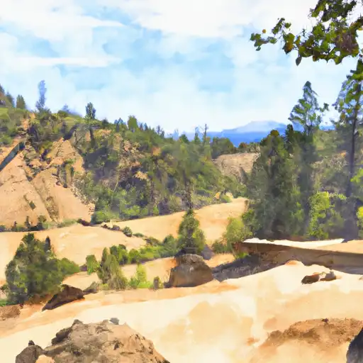
Taylor Landing Day Use Area is a popular destination in the McKenzie Watershed of Oregon. The park is located on a bend in the McKenzie River and offers visitors opportunities to enjoy the scenic beauty of the area, including hiking trails, fishing, and birdwatching. The day use area has picnic tables, a boat launch, and restrooms, making it a perfect spot for a day trip or weekend outing.
One of the unique features of Taylor Landing Day Use Area is the opportunity to see a variety of wildlife. Visitors may spot native birds such as osprey, bald eagles, and kingfishers, and may even catch a glimpse of river otters or beavers. The park is also home to native fish species, including salmon and trout, making it a popular spot for fishing enthusiasts. Additionally, the park offers access to the McKenzie River Trail, a popular hiking trail that follows the river for over 26 miles, providing stunning views of waterfalls and old growth forests. Overall, Taylor Landing Day Use Area is a great destination for those looking to enjoy the beauty of the McKenzie Watershed and all it has to offer.
Discharge | Stage | Elevation | |
NORTH SANTIAM RIVER AT MEHAMA
2024-12-27T00:20:00.000-08:00 |
7330cfs | 6.52ft | 609ft |
NORTH SANTIAM RIVER AT NIAGARA
2024-12-27T00:20:00.000-08:00 |
1260cfs | 3.12ft | 1103ft |
BREITENBUSH R ABV FRENCH CR NR DETROIT
2024-12-27T00:20:00.000-08:00 |
2750cfs | 6.03ft | 1637ft |
WILLAMETTE RIVER AT SALEM
2024-12-27T00:20:00.000-08:00 |
62200cfs | 16.59ft | 125ft |
LUCKIAMUTE RIVER NEAR SUVER
2024-12-27T01:30:00.000-08:00 |
5340cfs | 24.8ft | 179ft |
LITTLE NORTH SANTIAM RIVER NEAR MEHAMA
2024-12-27T00:20:00.000-08:00 |
4610cfs | 7.39ft | 662ft |
BULL CREEK NEAR WILHOIT
2024-12-27T00:15:00.000-08:00 |
14cfs | 6.18ft | 1871ft |
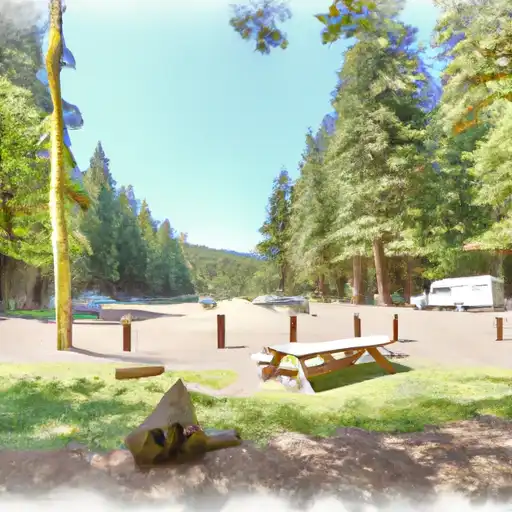
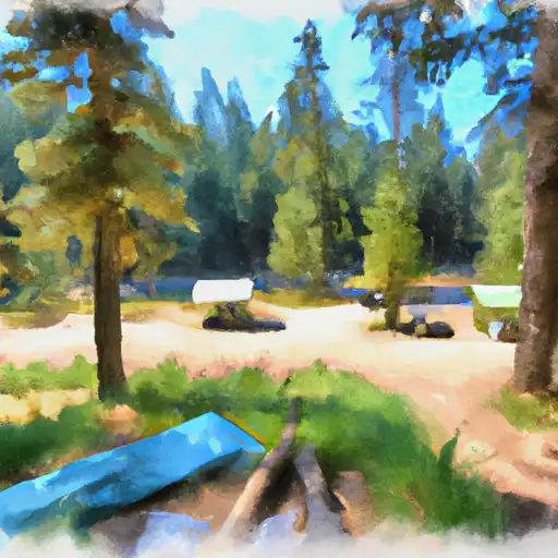
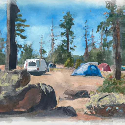
Camping Area | Reservations | Toilets | Showers |
---|---|---|---|
Digit Point | |||
Hemlock Lake | |||
Cavitt Creek Falls - North Umpqua River RA | |||
Ash Flat Forest Camp | |||
Douglas County Fairgrounds RV Park | |||
Broken Arrow |