Summary
The overlook, which is accessible via a 3.2-mile trail, provides a stunning panoramic view of the Grand Staircase-Escalante National Monument, the Kaiparowits Plateau, and the surrounding canyons and mesas. The hike to the overlook is not particularly challenging, but it does require good physical fitness and proper hiking gear. Visitors can expect to see a diverse range of flora and fauna along the way, including deer, elk, and a variety of desert plants.
In addition to the stunning views, Anticline Overlook is also home to a number of unique geological formations. The overlook sits atop a large anticline, which is a geological fold in the rock layers of the earth's crust. The anticline at Anticline Overlook is made up of Navajo Sandstone, and visitors can see evidence of the sedimentary layers that were deposited over millions of years. The area is also home to a number of dinosaur fossils, which have been uncovered by paleontologists in the surrounding rock formations. Overall, Anticline Overlook is a must-see destination for anyone interested in geology, hiking, or simply enjoying the beauty of the natural world.
°F
°F
mph
Wind
%
Humidity
15-Day Weather Outlook
5-Day Hourly Forecast Detail
Area Campgrounds
| Location | Reservations | Toilets |
|---|---|---|
 Ledge E
|
||
 Ledge D
|
||
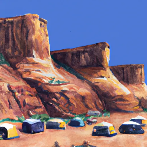 Ledge Group
|
||
 Echo
Echo
|
||
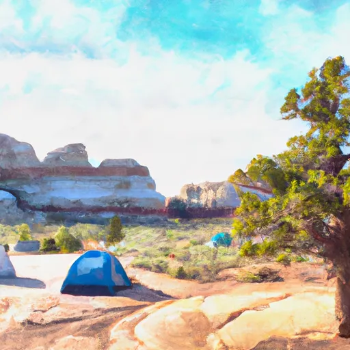 Ledge C
|
||
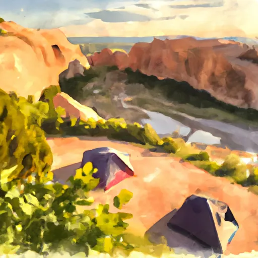 Ledge Camping Area
|

 Swanny City Park
 Old City Park
 Sand Flats Recreation Area
 Arches National Park