Summary
This trail is located in the Capitol Reef National Park and offers visitors a unique experience filled with breathtaking views and historical significance. The trail is a 2.5-mile round trip hike that takes visitors through a narrow, winding canyon and past several unique geological formations.
One of the main reasons to visit the Frying Pan Trail is for its stunning natural beauty. The trail offers visitors incredible views of towering cliffs, narrow canyons, and colorful rock formations. The trail is also home to a variety of plant and animal species, providing visitors with a unique opportunity to experience the natural beauty of the region.
Another reason to visit the Frying Pan Trail is its historical significance. The trail was used by early settlers and Native Americans as a trade route, and visitors can still see evidence of their presence in the form of petroglyphs and other artifacts. The trail also passes by several historic structures, including a pioneer cabin and a granary.
Visitors to the Frying Pan Trail may also encounter unique natural features, such as the "frying pan" rock formation that gives the trail its name. This giant, flat rock perched on top of a narrow ridge offers a stunning view of the surrounding landscape, making it a popular spot for photos.
In summary, the Frying Pan Trail is a must-visit point of interest in Utah's National Park system. A hike on this trail offers visitors stunning natural beauty, historical significance, and an opportunity to encounter unique geological formations and wildlife.
°F
°F
mph
Wind
%
Humidity
15-Day Weather Outlook
5-Day Hourly Forecast Detail
Area Campgrounds
| Location | Reservations | Toilets |
|---|---|---|
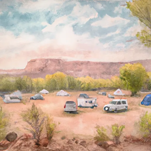 Fruita Campground
|
||
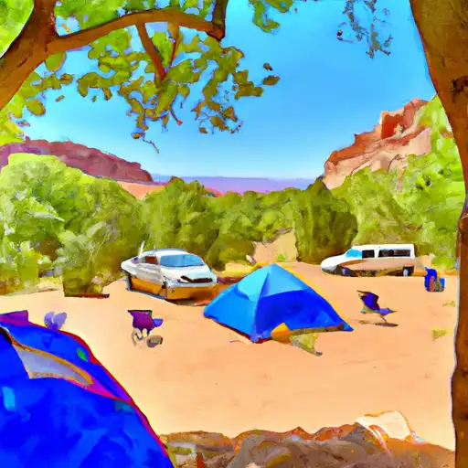 Fruita - Capitol Reef National Park
|
||
 SINGLETREE CAMPGROUND
|
||
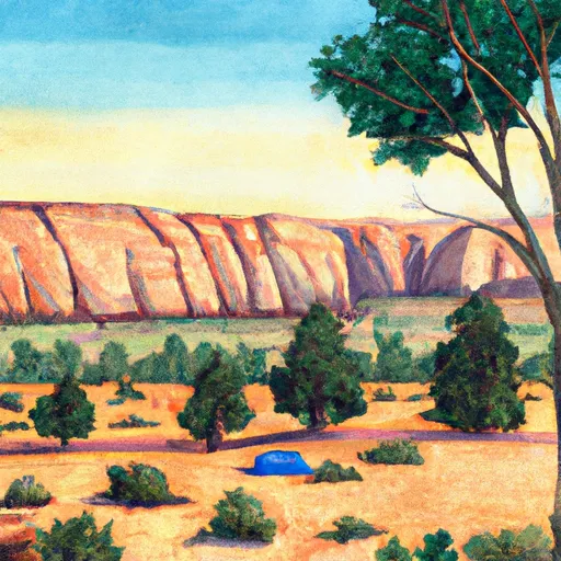 Singletree
|
||
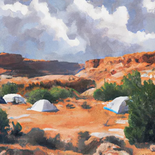 Lower Bowns
|
||
 LOWER BOWNS CAMPGROUND
|
