Utah Points of Interest

Spanish Fork Peak


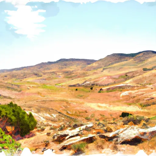
USGS QUAD(S): Spanish Fork Peak and Springville; GPS Positioning: At trailhead - N. 40.13675 W. 111.520194; at trail terminus - N. 40.131555 W. 111.549305 The Spanish Fork Peak trail leads to Spanish Fork Peak, the summit of Maple Mountain at 10,192 feet. The trail splits from the Left Fork Maple Canyon trail (#006) and immediately crosses a stream to the south (GPS position N. 40.131675 W. 111.3520194). Some sections of the trail are very steep. Much of the trail is shaded by box elder, Douglas-fir, and aspen, but becomes more open at the upper elevations. The trail crosses spectacular wide meadows near Maple Canyon Lake, with the steep Spanish Fork Peak canyon walls surrounding the area, and continues up to the ridgeline for panoramic views to the north and west of Utah Valley and east beyond Strawberry Ridge. The trail then swings around the mountain to the Utah Valley side reaching Spanish Fork Peak (GPS position N. 40.131555 W. 111.549305) and connecting with the Sterling Hollow trail. This trail is also known as the Right Fork Maple Canyon trail. The connecting Sterling Hollow trail (#008) is not maintained.


SPANISH FORK PEAK

Points of Interest
Location
Johnson Ridge Overlook
Spanish Fork Peak

Nearby Camping
Location Campsites Reservations Toilets Showers Elevation
Spanish Oaks Campground Numerous 5,124 ft
Blackhawk 15 7,962 ft
Payson Lakes 113 7,981 ft
Cherry 14 5,211 ft
Nunns Park Numerous 4,994 ft
Balsam 25 5,924 ft
Diamond 50 5,230 ft
Whiting 13 5,451 ft
Deer Creek State Park 75 5,565 ft
Mt. Timpanogos 27 6,985 ft
Little Mill 36 6,035 ft
Warnick 6 6,260 ft
Spanish Fork River Park Numerous 4,966 ft
Hope 26 6,669 ft
Rock Canyon 4 6,901 ft
Canyon View RV Park 25 4,719 ft
Timpooneke 27 7,546 ft
Unicorn 26 7,242 ft