Summary
It is a significant spot from the Civil War era, and a visit to this national park will offer you a unique opportunity to witness the history of that period.
One of the main reasons to visit Marye's Heights is to experience the Civil War battlefield which it represents. It was here that the Confederate army had their stronghold during the Battle of Fredericksburg in December 1862. Today, visitors can still find remnants of the battle and learn about the history of the war from the many displays and exhibits provided at the park.
A unique feature of Marye's Heights is the stone wall that stretches across the hillside, which was built by Confederate soldiers to provide a strategic position during the Battle of Fredericksburg. The wall was a formidable obstacle for the Union army, and it is still visible today. Visitors can stand at the top of the hill and imagine what it was like for the soldiers who fought on that very ground.
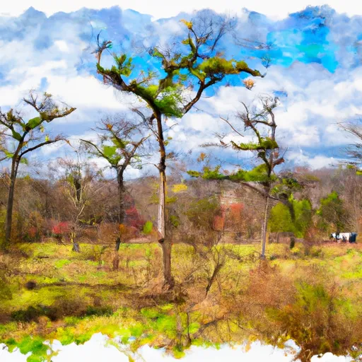
Another good reason to visit Marye's Heights is to experience the spectacular views of the surrounding landscape. From the top of the hill, visitors can see the quaint town of Fredericksburg, the Rappahannock River, and the fields where the battle took place.
In summary, Marye's Heights is an important national park point of interest that offers a unique opportunity to experience the history of the Civil War. Visitors can learn about the battle, see the remnants of the stone wall and enjoy stunning views of the surrounding landscape. It is definitely a must-visit spot for anyone interested in history and enjoys the outdoors.
°F
°F
mph
Wind
%
Humidity

 Alum Springs Park
 Fredericksburg and Spotsylvania National Military Park
 John Lee Pratt Memorial Park
 Fredricksburg Spotsylvania National Military Park
 Crows Nest State Natural Area Preserve