Summary
The panels provide visitors with information about the area's history, geology, and natural features. The panels are designed to be educational and interactive, allowing visitors to learn about the area's wildlife, vegetation, and geological history. The panels also provide information about the Native American tribes that once inhabited the area, as well as the pioneers who settled there.
There are several good reasons to visit the Miles Landing Interpretive Panels. Firstly, the panels provide visitors with an opportunity to learn about the area's rich history and natural features. Secondly, the area is home to a variety of wildlife, such as mule deer, elk, and pronghorn antelope, making it an excellent destination for nature lovers and outdoor enthusiasts. Additionally, visitors can enjoy scenic views of the North Platte River and surrounding mountains. Overall, the Miles Landing Interpretive Panels offer a unique and educational experience for those interested in Wyoming's natural and cultural heritage.
°F
°F
mph
Wind
%
Humidity

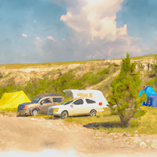 Golden Currant Campsite 1
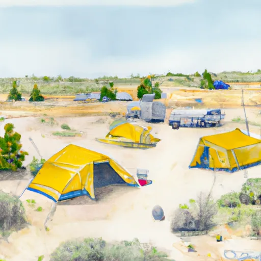 Golden Currant Campsite 2
 Golden Currant Campground
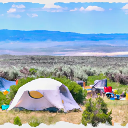 Golden Currant Campsite 3
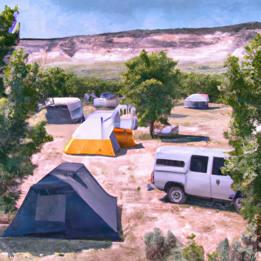 Golden Currant Campsite 4
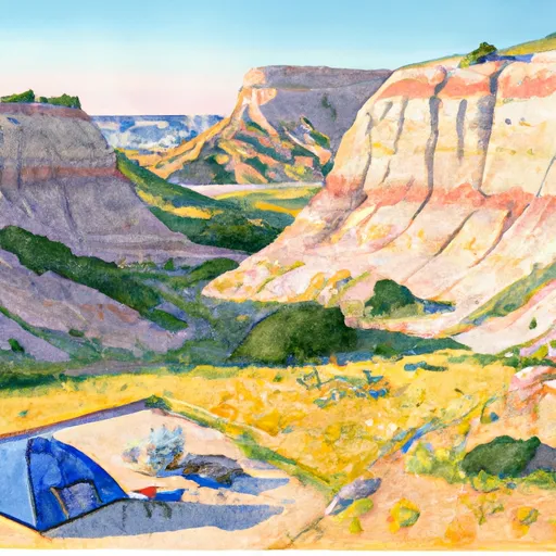 Chalk Bluffs Campsite 1