Lake Havasu Reservoir Report
Nearby: Gene Wash Copper Basin
Last Updated: February 5, 2026
Lake Havasu is a reservoir located on the Colorado River in Arizona.
Summary
It was formed in 1938 after the completion of the Parker Dam, which created a water storage capacity of 648,000 acre-feet. The lake is a popular spot for boating, fishing, and watersports, and it is home to many species of fish, including largemouth and striped bass. The hydrology of the lake is influenced by the snowpack in the mountains surrounding the Colorado River basin, as well as specific surface flow from tributaries such as the Bill Williams River. The lake also serves as a source of water for agricultural irrigation in the surrounding area. In addition to recreational and agricultural uses, Lake Havasu plays an important role in generating hydroelectric power and maintaining water levels downstream.
°F
°F
mph
Wind
%
Humidity
15-Day Weather Outlook
Reservoir Details
| Storage 24hr Change | -0.07% |
| Percent of Normal | 91% |
| Minimum |
23,500.0 acre-ft
1938-10-07 |
| Maximum |
856,600.0 acre-ft
1952-12-02 |
| Average | 555,014 acre-ft |
Seasonal Comparison
Storage Levels
Storage Levels
Pool Elevation Levels
Total Release Levels
5-Day Hourly Forecast Detail
Nearby Streamflow Levels
Dam Data Reference
Condition Assessment
SatisfactoryNo existing or potential dam safety deficiencies are recognized. Acceptable performance is expected under all loading conditions (static, hydrologic, seismic) in accordance with the minimum applicable state or federal regulatory criteria or tolerable risk guidelines.
Fair
No existing dam safety deficiencies are recognized for normal operating conditions. Rare or extreme hydrologic and/or seismic events may result in a dam safety deficiency. Risk may be in the range to take further action. Note: Rare or extreme event is defined by the regulatory agency based on their minimum
Poor A dam safety deficiency is recognized for normal operating conditions which may realistically occur. Remedial action is necessary. POOR may also be used when uncertainties exist as to critical analysis parameters which identify a potential dam safety deficiency. Investigations and studies are necessary.
Unsatisfactory
A dam safety deficiency is recognized that requires immediate or emergency remedial action for problem resolution.
Not Rated
The dam has not been inspected, is not under state or federal jurisdiction, or has been inspected but, for whatever reason, has not been rated.
Not Available
Dams for which the condition assessment is restricted to approved government users.
Hazard Potential Classification
HighDams assigned the high hazard potential classification are those where failure or mis-operation will probably cause loss of human life.
Significant
Dams assigned the significant hazard potential classification are those dams where failure or mis-operation results in no probable loss of human life but can cause economic loss, environment damage, disruption of lifeline facilities, or impact other concerns. Significant hazard potential classification dams are often located in predominantly rural or agricultural areas but could be in areas with population and significant infrastructure.
Low
Dams assigned the low hazard potential classification are those where failure or mis-operation results in no probable loss of human life and low economic and/or environmental losses. Losses are principally limited to the owner's property.
Undetermined
Dams for which a downstream hazard potential has not been designated or is not provided.
Not Available
Dams for which the downstream hazard potential is restricted to approved government users.

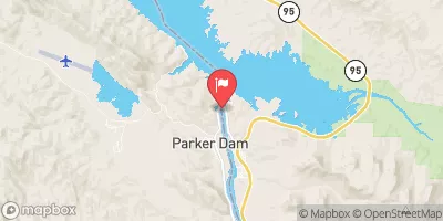
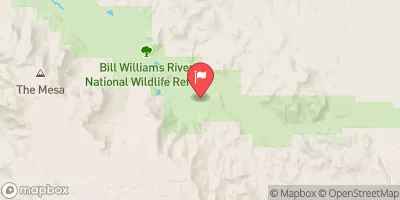
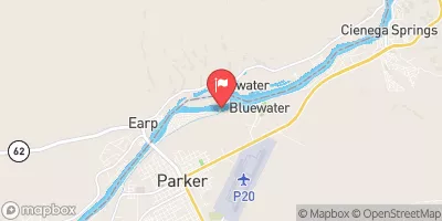
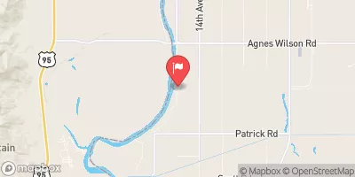
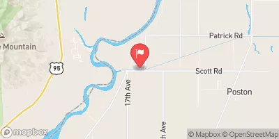
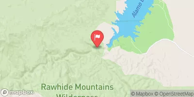
 Larned Landing 4 ADA Accessible Shoreline Campsite
 Bill Williams 1 Shoreline Campsite
 Bill Williams 2 Shoreline Campsite
 Bill Williams 3 Shoreline Campsite
 Larned Landling 1 Shoreline Campsite
 Bass Bay 2 Shoreline Campsite
 Parker
 Lake Havasu
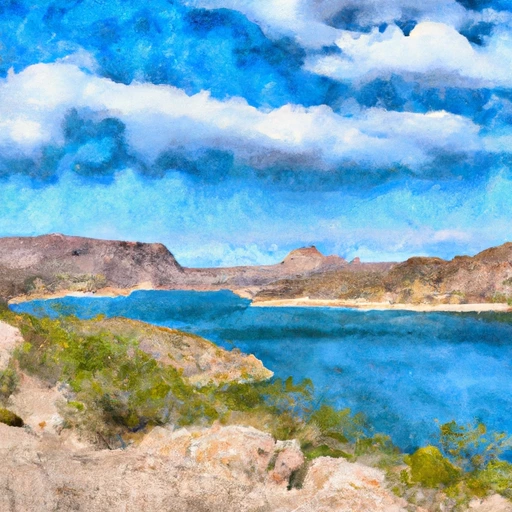 Lake Havasu Near Parker Dam
 Takeoff Point Road Arizona
 Take Off Point Day Use Area Boat Launch
 Rock House Recreation Area Boat Launch