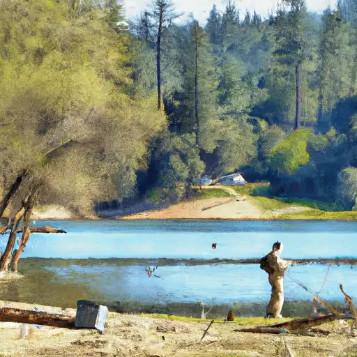
Alpine Lake reservoir
As of July 16, 2026, Alpine Lake is holding 6,687 acre-ft of water. Storage data refreshed throughout the day.

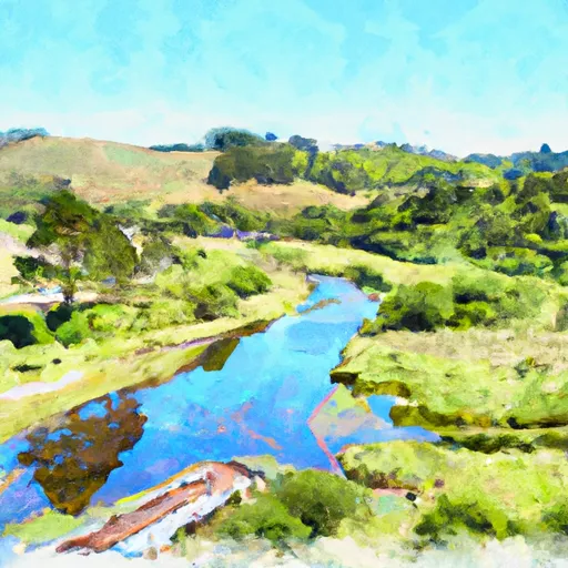
Alpine Lake
Alpine Lake is located in Marin County, California, and was formed in 1914 when a dam was constructed on Lagunitas Creek. The lake supplies water to the Marin Municipal Water District and is an important source of water for the region. The hydrology of the lake is characterized by a small watershed, with most of the water coming from precipitation and snowmelt. The lake is also fed by several small streams and is surrounded by dense forests. The snowpack in the winter provides a significant portion of the water for the lake. The lake is primarily used for recreational purposes, including fishing, boating, and swimming. The surrounding area is also used for agriculture, including dairy farming and crop production. The lake is an important part of the local ecosystem, serving as habitat for a variety of plant and animal species.
Daily levels at Alpine Lake
Storage volume, pool elevation, and total release plotted from the operating agency's daily observations.
Storage
acre-ft · code 2
Pool Elevation
ft · code 1
Plan around the weather
Same NOAA / yr.no feed Snoflo's iOS app uses. Watch the precipitation column on the meteogram -- rain on the basin upstream typically lifts inflow 24-72 hours later.
Next 5 days, hour by hour
Temperature line with weather symbols on top, snow + rain accumulation as columns, humidity as a dotted line.
5-day forecast table
Every 3 hours, broken out across temperature, snow, rain, humidity, and wind. Each cell is colour-coded relative to the column min/max.
| Time | Condition | Temp (°F) | Snow (in) | Rain (in) | Humidity (%) | Wind (mps) | Wind dir |
|---|---|---|---|---|---|---|---|
| Loading detailed forecast… | |||||||
15-day temperature & precipitation
Daily temperatures, snow, and rain projected over the next two weeks.
Nearby streamflow gauges
USGS streamgauges around Alpine Lake -- inflows here typically show up in storage 24-72 hours later.
| Streamgauge | Discharge | View |
|---|---|---|
| Corte Madera C A Ross Ca | 0 cfs | → |
| Redwood C A Hwy 1 Bridge A Muir Beach Ca | 0 cfs | → |
| Lagunitas C A Sp Taylor State Pk Ca | 9 cfs | → |
| Olema C A Vedanta Bridge A Olema Ca | 1 cfs | → |
| Novato C A Novato Ca | 1 cfs | → |
| Lagunitas C Nr Pt Reyes Station Ca | 8 cfs | → |


About Alpine Lake
Where does the data for Alpine Lake come from?
Daily storage, pool elevation, and release rates are sourced from USGS, USBR, and USACE monitoring stations. Weather forecast comes from NOAA / yr.no -- the same feed Snoflo's iOS app uses.
How often is the report updated?
Storage observations are updated daily by the operating agency. The 15-day weather forecast refreshes throughout the day. Snoflo caches and renders the most recent observation -- check the "as of" timestamp on the storage card.
What does the Hazard hazard rating mean?
The Corps of Engineers' hazard potential classification grades probable consequences if the dam fails: High = probable loss of human life; Significant = no probable loss of human life but possible economic loss / environmental damage; Low = no probable loss of human life, only minor economic / environmental losses. See the Dam Data Reference card below for the full definitions.
What's "% of normal"?
The current storage value compared to the historical average storage on this calendar day. 100% = right on average; values above 100% mean above-normal storage (wet year); values below mean below-normal (dry year or drought).
Can I get alerts when storage crosses a threshold?
Yes -- alerts are managed in the Snoflo iOS app. Favorite this reservoir, set a threshold, and you'll get a push the moment conditions cross.