Berryessa Reservoir
As of July 21, 2026, Berryessa is holding 1,469,172 acre-ft of water — 109% of normal storage for this date. Storage data refreshed throughout the day.

Berryessa
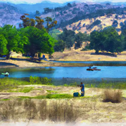
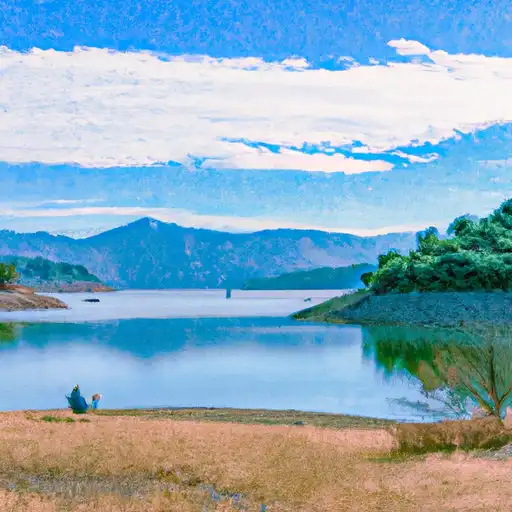
Berryessa is a reservoir located in Napa County, California, with a capacity of 1.6 million acre-feet. The history of the reservoir dates back to the 1950s when it was constructed as part of the Solano Project. The primary purpose of the reservoir is to provide water for irrigation and municipal use. The water is supplied from the Cache Creek and Putah Creek watersheds, which are the primary surface flow and snowpack providers, respectively. The reservoir also supports recreational activities such as boating, fishing, and camping. Additionally, the surrounding area is home to agricultural activities, including cattle grazing and vineyards. Berryessa serves as a vital water source for the region, and its management is critical to ensure the sustainability of the water supply.
Daily levels at Berryessa
Storage volume, pool elevation, and total release plotted from the operating agency's daily observations.
Storage
acre-ft · code 2
Pool Elevation
ft · code 1
Plan around the weather
Same NOAA / yr.no feed Snoflo's iOS app uses. Watch the precipitation column on the meteogram -- rain on the basin upstream typically lifts inflow 24-72 hours later.
Next 5 days, hour by hour
Temperature line with weather symbols on top, snow + rain accumulation as columns, humidity as a dotted line.
5-day forecast table
Every 3 hours, broken out across temperature, snow, rain, humidity, and wind. Each cell is colour-coded relative to the column min/max.
| Time | Condition | Temp (°F) | Snow (in) | Rain (in) | Humidity (%) | Wind (mps) | Wind dir |
|---|---|---|---|---|---|---|---|
| Loading detailed forecast… | |||||||
15-day temperature & precipitation
Daily temperatures, snow, and rain projected over the next two weeks.
Nearby streamflow gauges
USGS streamgauges around Berryessa -- inflows here typically show up in storage 24-72 hours later.
| Streamgauge | Discharge | View |
|---|---|---|
| Putah C Nr Winters Ca | 634 cfs | → |
| Napa R Nr Napa Ca | 5 cfs | → |
| Napa R Nr St Helena Ca | 2 cfs | → |
| Cache C A Yolo Ca | · | → |
| Sonoma C A Agua Caliente Ca | 2 cfs | → |
| Nathanson C A Sonoma Ca | 0 cfs | → |


About Berryessa
Where does the data for Berryessa come from?
Daily storage, pool elevation, and release rates are sourced from USGS, USBR, and USACE monitoring stations. Weather forecast comes from NOAA / yr.no -- the same feed Snoflo's iOS app uses.
How often is the report updated?
Storage observations are updated daily by the operating agency. The 15-day weather forecast refreshes throughout the day. Snoflo caches and renders the most recent observation -- check the "as of" timestamp on the storage card.
What does the Hazard hazard rating mean?
The Corps of Engineers' hazard potential classification grades probable consequences if the dam fails: High = probable loss of human life; Significant = no probable loss of human life but possible economic loss / environmental damage; Low = no probable loss of human life, only minor economic / environmental losses. See the Dam Data Reference card below for the full definitions.
What's "% of normal"?
The current storage value compared to the historical average storage on this calendar day. 100% = right on average; values above 100% mean above-normal storage (wet year); values below mean below-normal (dry year or drought).
Can I get alerts when storage crosses a threshold?
Yes -- alerts are managed in the Snoflo iOS app. Favorite this reservoir, set a threshold, and you'll get a push the moment conditions cross.