Indian Valley Reservoir
As of July 20, 2026, Indian Valley is holding 250,256 acre-ft of water — 153% of normal storage for this date. Storage data refreshed throughout the day.

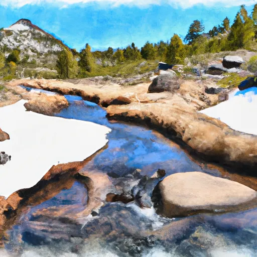
Indian Valley
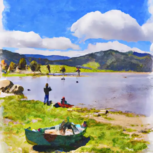
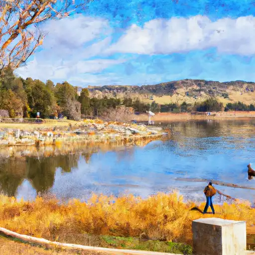
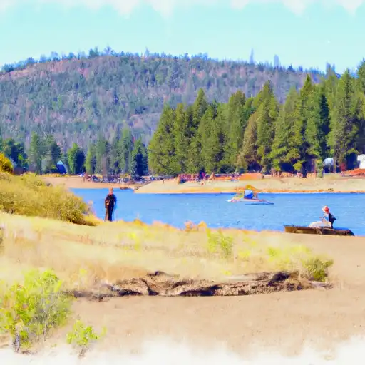
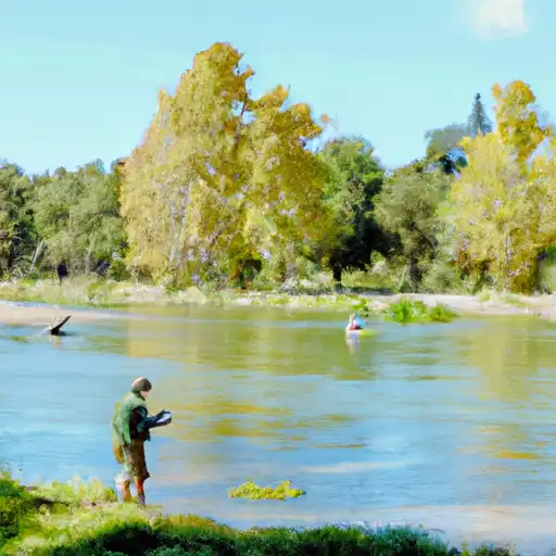
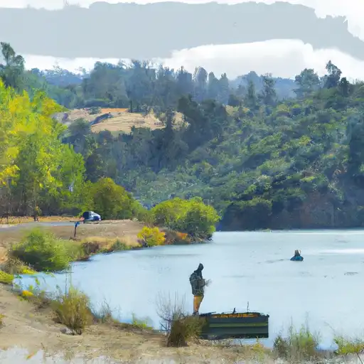
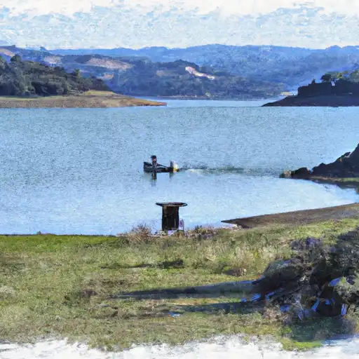
Indian Valley is a small valley located in Northern California, near the town of Greenville. The area has a rich history, dating back to the Maidu Native Americans who initially occupied the valley. The Maidu utilized the area for hunting, fishing, and gathering, and their influence can still be seen today in the form of petroglyphs and other artifacts. The hydrology of Indian Valley is primarily provided by the many small streams and creeks that flow through the area, including Indian Creek and Lights Creek. The valley is also home to several snowpack providers, which help to maintain the water supply and provide a source for recreational activities such as skiing and snowboarding. Agriculture is a significant part of the local economy, with crops such as alfalfa, wheat, and potatoes grown in the valley. Additionally, Indian Valley is a popular destination for outdoor enthusiasts, with opportunities for hiking, fishing, and camping.
Daily levels at Indian Valley
Storage volume, pool elevation, and total release plotted from the operating agency's daily observations.
Storage
acre-ft · code 2
Pool Elevation
ft · code 1
Plan around the weather
Same NOAA / yr.no feed Snoflo's iOS app uses. Watch the precipitation column on the meteogram -- rain on the basin upstream typically lifts inflow 24-72 hours later.
Next 5 days, hour by hour
Temperature line with weather symbols on top, snow + rain accumulation as columns, humidity as a dotted line.
5-day forecast table
Every 3 hours, broken out across temperature, snow, rain, humidity, and wind. Each cell is colour-coded relative to the column min/max.
| Time | Condition | Temp (°F) | Snow (in) | Rain (in) | Humidity (%) | Wind (mps) | Wind dir |
|---|---|---|---|---|---|---|---|
| Loading detailed forecast… | |||||||
15-day temperature & precipitation
Daily temperatures, snow, and rain projected over the next two weeks.
Nearby streamflow gauges
USGS streamgauges around Indian Valley -- inflows here typically show up in storage 24-72 hours later.
| Streamgauge | Discharge | View |
|---|---|---|
| Nf Cache C Nr Clearlake Oaks Ca | 263 cfs | → |
| Nf Cache C A Hough Spring Nr Clearlake Oaks Ca | 31 cfs | → |
| Cache C Nr Lower Lake Ca | 424 cfs | → |
| Bear C Ab Holsten Chimney Cyn Nr Rumsey Ca | 20 cfs | → |
| Kelsey C Nr Kelseyville Ca | 4 cfs | → |
| Cache C A Rumsey Ca | 606 cfs | → |


About Indian Valley
Where does the data for Indian Valley come from?
Daily storage, pool elevation, and release rates are sourced from USGS, USBR, and USACE monitoring stations. Weather forecast comes from NOAA / yr.no -- the same feed Snoflo's iOS app uses.
How often is the report updated?
Storage observations are updated daily by the operating agency. The 15-day weather forecast refreshes throughout the day. Snoflo caches and renders the most recent observation -- check the "as of" timestamp on the storage card.
What does the Hazard hazard rating mean?
The Corps of Engineers' hazard potential classification grades probable consequences if the dam fails: High = probable loss of human life; Significant = no probable loss of human life but possible economic loss / environmental damage; Low = no probable loss of human life, only minor economic / environmental losses. See the Dam Data Reference card below for the full definitions.
What's "% of normal"?
The current storage value compared to the historical average storage on this calendar day. 100% = right on average; values above 100% mean above-normal storage (wet year); values below mean below-normal (dry year or drought).
Can I get alerts when storage crosses a threshold?
Yes -- alerts are managed in the Snoflo iOS app. Favorite this reservoir, set a threshold, and you'll get a push the moment conditions cross.