Dr James Bruce Dam

Dr James Bruce
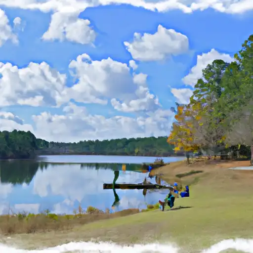
Dr. James Bruce is a privately owned dam located in Union Grove Church, Lee County, Alabama. This earth dam was completed in 1966 and serves multiple purposes including fire protection, stock, and a small fish pond. With a hydraulic height of 45 feet and a structural height of 50 feet, the dam has a storage capacity of 100 acre-feet, with a normal storage level of 72 acre-feet.
Situated on the TR-Watula Creek, Dr. James Bruce dam is managed by the Mobile District of the US Army Corps of Engineers. Despite being classified as having low hazard potential, the dam has not been rated for its condition assessment. The dam has a maximum discharge capacity of 1200 cubic feet per second and spans a length of 600 feet. While not regulated by the state, it plays a crucial role in water resource management in the area and contributes to the local ecosystem.
For water resource and climate enthusiasts, Dr. James Bruce dam offers a fascinating case study in private ownership and multi-purpose dam infrastructure. Its location in Alabama's Lee County, along with its unique capabilities for fire protection and stock maintenance, make it a noteworthy structure in the region. As climate change continues to impact water resources, understanding the role of dams like Dr. James Bruce becomes increasingly important for sustainable water management practices in the future.
Plan around the weather
Same NOAA / yr.no feed Snoflo's iOS app uses. Watch the precipitation column on the meteogram -- rain on the basin upstream typically lifts inflow 24-72 hours later.
Next 5 days, hour by hour
Temperature line with weather symbols on top, snow + rain accumulation as columns, humidity as a dotted line.
5-day forecast table
Every 3 hours, broken out across temperature, snow, rain, humidity, and wind. Each cell is colour-coded relative to the column min/max.
| Time | Condition | Temp (°F) | Snow (in) | Rain (in) | Humidity (%) | Wind (mps) | Wind dir |
|---|---|---|---|---|---|---|---|
| Loading detailed forecast… | |||||||
15-day temperature & precipitation
Daily temperatures, snow, and rain projected over the next two weeks.
Nearby streamflow gauges
USGS streamgauges around Dr James Bruce -- inflows here typically show up in storage 24-72 hours later.
| Streamgauge | Discharge | View |
|---|---|---|
| Chewacla Creek At Chewacla State Park Nr Auburn | 12 cfs | → |
| Sougahatchee Creek At Co Rd 188 Nr Loachapoka | 21 cfs | → |
| Uphapee Creek Near Tuskegee Al | 87 cfs | → |
| Chattahoochee River At Us 280 | 1,990 cfs | → |
| Uchee Creek Near Fort Mitchell | 33 cfs | → |
| Chattahoochee River At West Point | 7,880 cfs | → |


About Dr James Bruce
Where does the data for Dr James Bruce come from?
Structural and regulatory data come from the U.S. Army Corps of Engineers' National Inventory of Dams (NID). Weather forecast comes from NOAA / yr.no -- the same feed Snoflo's iOS app uses.
How often is the report updated?
NID structural data refreshes annually as the Corps publishes updated assessments. The weather forecast refreshes throughout the day.
What does the Low hazard rating mean?
The Corps of Engineers' hazard potential classification grades probable consequences if the dam fails: High = probable loss of human life; Significant = no probable loss of human life but possible economic loss / environmental damage; Low = no probable loss of human life, only minor economic / environmental losses. See the Dam Data Reference card below for the full definitions.
What's "% of normal"?
The current storage value compared to the historical average storage on this calendar day. 100% = right on average; values above 100% mean above-normal storage (wet year); values below mean below-normal (dry year or drought).
Can I get alerts when storage crosses a threshold?
Yes -- alerts are managed in the Snoflo iOS app. Favorite this dam, set a threshold, and you'll get a push the moment conditions cross.
Dam data reference
Condition Assessment
- Satisfactory
- No existing or potential dam safety deficiencies are recognized. Acceptable performance is expected under all loading conditions (static, hydrologic, seismic) in accordance with the minimum applicable state or federal regulatory criteria or tolerable risk guidelines.
- Fair
- No existing dam safety deficiencies are recognized for normal operating conditions. Rare or extreme hydrologic and/or seismic events may result in a dam safety deficiency. Risk may be in the range to take further action.
- Poor
- A dam safety deficiency is recognized for normal operating conditions which may realistically occur. Remedial action is necessary. POOR may also be used when uncertainties exist as to critical analysis parameters which identify a potential dam safety deficiency.
- Unsatisfactory
- A dam safety deficiency is recognized that requires immediate or emergency remedial action for problem resolution.
- Not Rated
- The dam has not been inspected, is not under state or federal jurisdiction, or has been inspected but, for whatever reason, has not been rated.
Hazard Potential Classification
- High
- Dams assigned the high hazard potential classification are those where failure or mis-operation will probably cause loss of human life.
- Significant
- Dams assigned the significant hazard potential classification are those dams where failure or mis-operation results in no probable loss of human life but can cause economic loss, environmental damage, disruption of lifeline facilities, or impact other concerns. Significant hazard potential classification dams are often located in predominantly rural or agricultural areas but could be in areas with population and significant infrastructure.
- Low
- Dams assigned the low hazard potential classification are those where failure or mis-operation results in no probable loss of human life and low economic and/or environmental losses. Losses are principally limited to the owner's property.
- Undetermined
- Dams for which a downstream hazard potential has not been designated or is not provided.