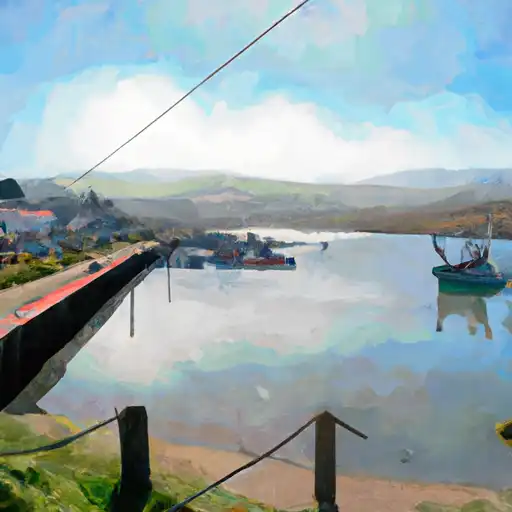
Kent Reservoir
As of July 21, 2026, Kent is holding 29,154 acre-ft of water. Storage data refreshed throughout the day.

Kent
Kent is an unincorporated community located in Marin County, California. Historically, the area was primarily used for agriculture and ranching. The hydrology of Kent is heavily influenced by the nearby Mount Tamalpais, which provides surface flow to several creeks and streams that run through the area. The snowpack from Mount Tamalpais also contributes to the water supply in the region. The Kent Lake Reservoir is the primary source of drinking water for Marin County. Agriculture is still a significant part of the community, with many farms and ranches producing fruits, vegetables, and livestock. The area is also popular for recreational activities, including hiking, biking, and horseback riding.
Daily levels at Kent
Storage volume, pool elevation, and total release plotted from the operating agency's daily observations.
Storage
acre-ft · code 2
Pool Elevation
ft · code 1
Plan around the weather
Same NOAA / yr.no feed Snoflo's iOS app uses. Watch the precipitation column on the meteogram -- rain on the basin upstream typically lifts inflow 24-72 hours later.
Next 5 days, hour by hour
Temperature line with weather symbols on top, snow + rain accumulation as columns, humidity as a dotted line.
5-day forecast table
Every 3 hours, broken out across temperature, snow, rain, humidity, and wind. Each cell is colour-coded relative to the column min/max.
| Time | Condition | Temp (°F) | Snow (in) | Rain (in) | Humidity (%) | Wind (mps) | Wind dir |
|---|---|---|---|---|---|---|---|
| Loading detailed forecast… | |||||||
15-day temperature & precipitation
Daily temperatures, snow, and rain projected over the next two weeks.
Nearby streamflow gauges
USGS streamgauges around Kent -- inflows here typically show up in storage 24-72 hours later.
| Streamgauge | Discharge | View |
|---|---|---|
| Lagunitas C A Sp Taylor State Pk Ca | 8 cfs | → |
| Olema C A Vedanta Bridge A Olema Ca | 1 cfs | → |
| Lagunitas C Nr Pt Reyes Station Ca | 8 cfs | → |
| Corte Madera C A Ross Ca | 0 cfs | → |
| Novato C A Novato Ca | 1 cfs | → |
| Redwood C A Hwy 1 Bridge A Muir Beach Ca | 1 cfs | → |


About Kent
Where does the data for Kent come from?
Daily storage, pool elevation, and release rates are sourced from USGS, USBR, and USACE monitoring stations. Weather forecast comes from NOAA / yr.no -- the same feed Snoflo's iOS app uses.
How often is the report updated?
Storage observations are updated daily by the operating agency. The 15-day weather forecast refreshes throughout the day. Snoflo caches and renders the most recent observation -- check the "as of" timestamp on the storage card.
What does the Hazard hazard rating mean?
The Corps of Engineers' hazard potential classification grades probable consequences if the dam fails: High = probable loss of human life; Significant = no probable loss of human life but possible economic loss / environmental damage; Low = no probable loss of human life, only minor economic / environmental losses. See the Dam Data Reference card below for the full definitions.
What's "% of normal"?
The current storage value compared to the historical average storage on this calendar day. 100% = right on average; values above 100% mean above-normal storage (wet year); values below mean below-normal (dry year or drought).
Can I get alerts when storage crosses a threshold?
Yes -- alerts are managed in the Snoflo iOS app. Favorite this reservoir, set a threshold, and you'll get a push the moment conditions cross.