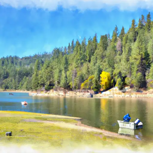
Lewiston reservoir
As of July 15, 2026, Lewiston is holding 13,499 acre-ft of water — 97% of normal storage for this date. Storage data refreshed throughout the day.

Lewiston
Lewiston is a small community in California that has a rich history dating back to the Gold Rush era. With a population of just over 1,000 people, the town is known for its beautiful natural surroundings, hydrology, and agricultural production. The Trinity River runs through the town, providing a reliable source of water for irrigation and recreational activities. The area is also known for its snowpack providers, which contribute to the local ecosystem and provide support for agriculture. Lewiston is home to a number of farms and ranches that produce a variety of crops, including apples, pears, and vegetables. Recreational activities in the area include fishing, hunting, hiking, and camping, making Lewiston a popular destination for outdoor enthusiasts. Overall, Lewiston is a unique and vibrant community that offers a wide range of experiences for residents and visitors alike.
Daily levels at Lewiston
Storage volume, pool elevation, and total release plotted from the operating agency's daily observations.
Storage
acre-ft · code 2
Pool Elevation
ft · code 1
Plan around the weather
Same NOAA / yr.no feed Snoflo's iOS app uses. Watch the precipitation column on the meteogram -- rain on the basin upstream typically lifts inflow 24-72 hours later.
Next 5 days, hour by hour
Temperature line with weather symbols on top, snow + rain accumulation as columns, humidity as a dotted line.
5-day forecast table
Every 3 hours, broken out across temperature, snow, rain, humidity, and wind. Each cell is colour-coded relative to the column min/max.
| Time | Condition | Temp (°F) | Snow (in) | Rain (in) | Humidity (%) | Wind (mps) | Wind dir |
|---|---|---|---|---|---|---|---|
| Loading detailed forecast… | |||||||
15-day temperature & precipitation
Daily temperatures, snow, and rain projected over the next two weeks.
Nearby streamflow gauges
USGS streamgauges around Lewiston -- inflows here typically show up in storage 24-72 hours later.
| Streamgauge | Discharge | View |
|---|---|---|
| Trinity R A Lewiston Ca | 450 cfs | → |
| Rush C Nr Lewiston Ca | 2 cfs | → |
| Grass Valley C Nr Lewiston Ca | 18 cfs | → |
| Trinity R Bl Limekiln Gulch Nr Douglas City Ca | 471 cfs | → |
| Indian C Nr Douglas City Ca | 6 cfs | → |
| Trinity R A Douglas City Ca | 502 cfs | → |


About Lewiston
Where does the data for Lewiston come from?
Daily storage, pool elevation, and release rates are sourced from USGS, USBR, and USACE monitoring stations. Weather forecast comes from NOAA / yr.no -- the same feed Snoflo's iOS app uses.
How often is the report updated?
Storage observations are updated daily by the operating agency. The 15-day weather forecast refreshes throughout the day. Snoflo caches and renders the most recent observation -- check the "as of" timestamp on the storage card.
What does the Hazard hazard rating mean?
The Corps of Engineers' hazard potential classification grades probable consequences if the dam fails: High = probable loss of human life; Significant = no probable loss of human life but possible economic loss / environmental damage; Low = no probable loss of human life, only minor economic / environmental losses. See the Dam Data Reference card below for the full definitions.
What's "% of normal"?
The current storage value compared to the historical average storage on this calendar day. 100% = right on average; values above 100% mean above-normal storage (wet year); values below mean below-normal (dry year or drought).
Can I get alerts when storage crosses a threshold?
Yes -- alerts are managed in the Snoflo iOS app. Favorite this reservoir, set a threshold, and you'll get a push the moment conditions cross.