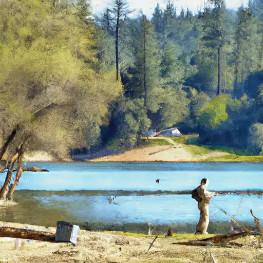
Nicasio Reservoir
As of August 3, 2026, Nicasio is holding 17,183 acre-ft of water. Storage data refreshed throughout the day.

Nicasio
Nicasio is a small unincorporated community in Marin County, California. It is located in a valley surrounded by hills, which makes it a popular destination for outdoor enthusiasts. The area has a rich history, with evidence of Native American settlements dating back over 4,000 years. Today, the community is largely agricultural, with dairy farming being the dominant industry. The hydrology of the area is influenced by the nearby Nicasio Reservoir, which is fed by several creeks and provides water for both agricultural and residential use. The local snowpack also contributes to the hydrology of the area, with runoff from the snowmelt providing important water resources for the community. The area is popular for recreational activities such as hiking, biking, and camping, and is known for its scenic beauty and peaceful atmosphere.
Daily levels at Nicasio
Storage volume, pool elevation, and total release plotted from the operating agency's daily observations.
Storage
acre-ft · code 2
Pool Elevation
ft · code 1
Plan around the weather
Same NOAA / yr.no feed Snoflo's iOS app uses. Watch the precipitation column on the meteogram -- rain on the basin upstream typically lifts inflow 24-72 hours later.
Next 5 days, hour by hour
Temperature line with weather symbols on top, snow + rain accumulation as columns, humidity as a dotted line.
5-day forecast table
Every 3 hours, broken out across temperature, snow, rain, humidity, and wind. Each cell is colour-coded relative to the column min/max.
| Time | Condition | Temp (°F) | Snow (in) | Rain (in) | Humidity (%) | Wind (mps) | Wind dir |
|---|---|---|---|---|---|---|---|
| Loading detailed forecast… | |||||||
15-day temperature & precipitation
Daily temperatures, snow, and rain projected over the next two weeks.
Nearby streamflow gauges
USGS streamgauges around Nicasio -- inflows here typically show up in storage 24-72 hours later.
| Streamgauge | Discharge | View |
|---|---|---|
| Lagunitas C Nr Pt Reyes Station Ca | 8 cfs | → |
| Olema C A Vedanta Bridge A Olema Ca | 0 cfs | → |
| Lagunitas C A Sp Taylor State Pk Ca | 9 cfs | → |
| Walker C Nr Marshall Ca | 5 cfs | → |
| Novato C A Novato Ca | 1 cfs | → |
| Petaluma R A Copland Pumping Station A Petaluma Ca | 90 cfs | → |


About Nicasio
What is the water level at Nicasio Reservoir right now?
As of August 3, 2026, Nicasio Reservoir is holding 17,183 acre-ft. Pool elevation and the year-over-year trend are shown above.
Is Nicasio Reservoir high or low right now?
Compare the percent-of-normal figure on this page: above 100% means storage is higher than the historical average for the date (a wet year), below 100% means lower (a dry year or drought). The daily-levels chart shows the current trend.
Where does the data for Nicasio come from?
Daily storage, pool elevation, and release rates are sourced from USGS, USBR, and USACE monitoring stations. Weather forecast comes from NOAA / yr.no -- the same feed Snoflo's iOS app uses.
How often is the report updated?
Storage observations are updated daily by the operating agency. The 15-day weather forecast refreshes throughout the day. Snoflo caches and renders the most recent observation -- check the "as of" timestamp on the storage card.
What does the Hazard hazard rating mean?
The Corps of Engineers' hazard potential classification grades probable consequences if the dam fails: High = probable loss of human life; Significant = no probable loss of human life but possible economic loss / environmental damage; Low = no probable loss of human life, only minor economic / environmental losses. See the Dam Data Reference card below for the full definitions.
What's "% of normal"?
The current storage value compared to the historical average storage on this calendar day. 100% = right on average; values above 100% mean above-normal storage (wet year); values below mean below-normal (dry year or drought).
Can I get alerts when storage crosses a threshold?
Yes -- alerts are managed in the Snoflo iOS app. Favorite this reservoir, set a threshold, and you'll get a push the moment conditions cross.