Pardee Reservoir Report
Nearby: Pardee Jackson Creek Spillway
Last Updated: February 22, 2026
Pardee Reservoir is located in the Sierra Nevada foothills of California and is a popular destination for recreation and outdoor activities.
Summary
The reservoir was built in 1929 by the East Bay Municipal Utility District to capture water from the Mokelumne River for use in the East Bay area. The reservoir is fed by the Mokelumne River and is also supplied by snowmelt from the surrounding mountains. The Pardee Reservoir provides water for agricultural irrigation, power generation, and recreational activities such as fishing, boating, and camping. The reservoir has a surface area of 3,000 acres and can hold up to 204,000 acre-feet of water. The reservoir is managed by the East Bay Municipal Utility District and is an important source of water for the region.
°F
°F
mph
Wind
%
Humidity
15-Day Weather Outlook
Reservoir Details
| Storage 24hr Change | 0.09% |
| Percent of Normal | 112% |
| Minimum |
105,245.0 acre-ft
2015-11-15 |
| Maximum |
697,910.0 acre-ft
2007-02-19 |
| Average | 176,285 acre-ft |
| Nid_Height | 10 |
| Dam_Height | 10 |
| Primary_Dam_Type | Concrete |
| River_Or_Stream | Mokelumne River |
| Foundations | Rock |
| Surface_Area | 2200 |
| Hazard_Potential | High |
| Nid_Storage | 198000 |
| Dam_Length | 800 |
Seasonal Comparison
Storage Levels
Pool Elevation Levels
Top Conserv Storage Levels
Inflow Levels
5-Day Hourly Forecast Detail
Nearby Streamflow Levels
 Cosumnes R A Michigan Bar Ca
|
1240cfs |
 Black C Nr Copperopolis Ca
|
59cfs |
 Deer C Nr Cameron Park Ca
|
8cfs |
 Laguna C Nr Elk Grove Ca
|
1cfs |
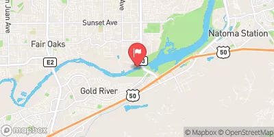 American R A Fair Oaks Ca
|
2430cfs |
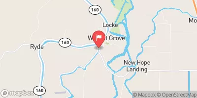 Georgiana Slough Nr Sacramento R
|
2990cfs |
Dam Data Reference
Condition Assessment
SatisfactoryNo existing or potential dam safety deficiencies are recognized. Acceptable performance is expected under all loading conditions (static, hydrologic, seismic) in accordance with the minimum applicable state or federal regulatory criteria or tolerable risk guidelines.
Fair
No existing dam safety deficiencies are recognized for normal operating conditions. Rare or extreme hydrologic and/or seismic events may result in a dam safety deficiency. Risk may be in the range to take further action. Note: Rare or extreme event is defined by the regulatory agency based on their minimum
Poor A dam safety deficiency is recognized for normal operating conditions which may realistically occur. Remedial action is necessary. POOR may also be used when uncertainties exist as to critical analysis parameters which identify a potential dam safety deficiency. Investigations and studies are necessary.
Unsatisfactory
A dam safety deficiency is recognized that requires immediate or emergency remedial action for problem resolution.
Not Rated
The dam has not been inspected, is not under state or federal jurisdiction, or has been inspected but, for whatever reason, has not been rated.
Not Available
Dams for which the condition assessment is restricted to approved government users.
Hazard Potential Classification
HighDams assigned the high hazard potential classification are those where failure or mis-operation will probably cause loss of human life.
Significant
Dams assigned the significant hazard potential classification are those dams where failure or mis-operation results in no probable loss of human life but can cause economic loss, environment damage, disruption of lifeline facilities, or impact other concerns. Significant hazard potential classification dams are often located in predominantly rural or agricultural areas but could be in areas with population and significant infrastructure.
Low
Dams assigned the low hazard potential classification are those where failure or mis-operation results in no probable loss of human life and low economic and/or environmental losses. Losses are principally limited to the owner's property.
Undetermined
Dams for which a downstream hazard potential has not been designated or is not provided.
Not Available
Dams for which the downstream hazard potential is restricted to approved government users.
Area Campgrounds
| Location | Reservations | Toilets |
|---|---|---|
 Oak Knoll - New Hogan Lake
|
||
 Acorn - New Hogan Lake
|
||
 Acorn Campground
|
||
 Gold Strike Village Campers
|

 Pardee South Spillway
 Pardee
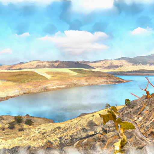 New Hogan Lake
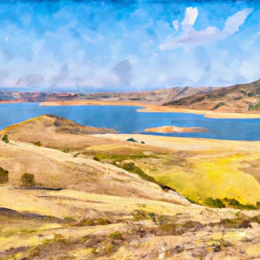 Camanche Reservoir
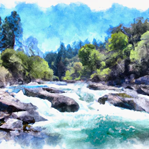 Mokelumne River
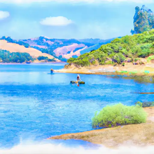 Lake Amador
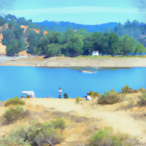 Amador Lake
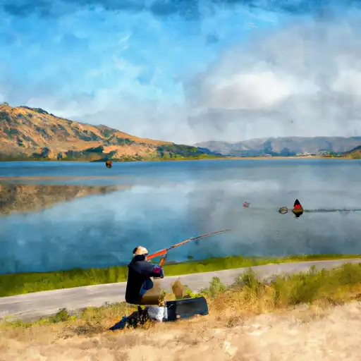 Camanche Lake
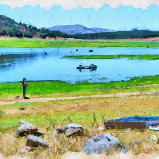 New Hogan Lake
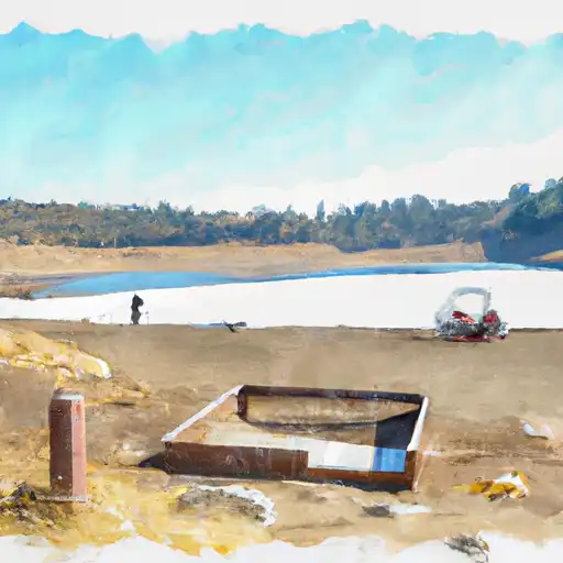 Lake Tabeaud