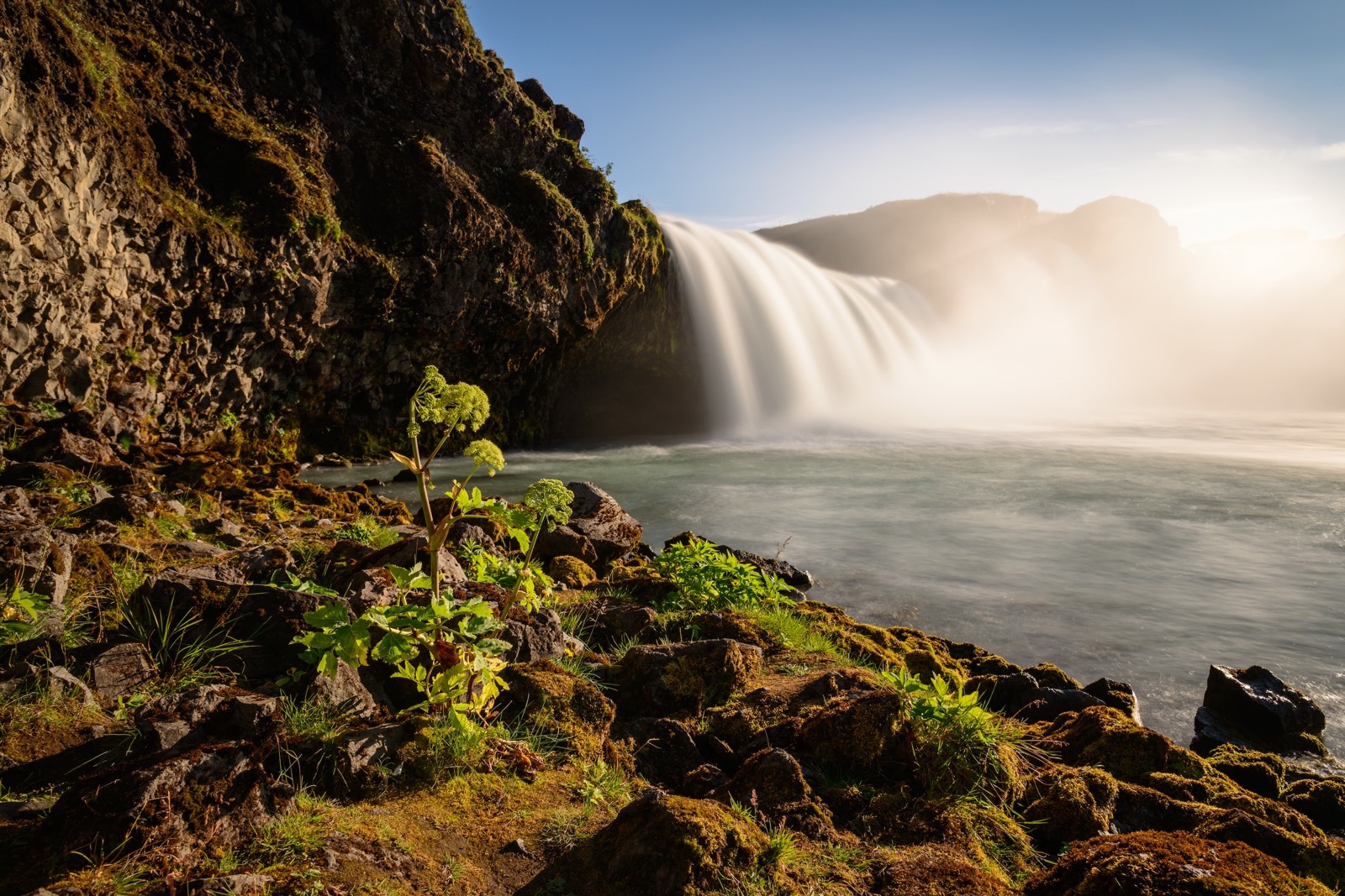
Pilarcitos Lake Near Hillsborough Ca Reservoir
As of July 26, 2026, Pilarcitos Lk Nr Hillsborough Ca is holding 680 ft of water — 99% of normal storage for this date. Storage data refreshed throughout the day.

Pilarcitos Lk Nr Hillsborough Ca
Pilarcitos Lake, located near Hillsborough, California, has a rich history dating back to the early 1900s when it was constructed as a source of drinking water for San Francisco. The lake is fed by a system of streams and has a capacity of approximately 13 billion gallons. The hydrology of the lake is unique as it relies heavily on snowpack in the surrounding mountains for its water supply. Specific surface flows are controlled by a network of dams and pipelines that carry the water to San Francisco. In addition to its importance as a water source, the lake also serves as a recreational area for activities such as fishing and hiking. Agricultural uses are limited due to the lake's designation as a protected watershed.
Daily levels at Pilarcitos Lk Nr Hillsborough Ca
Storage volume, pool elevation, and total release plotted from the operating agency's daily observations.
Lake or reservoir water surface elevation above NGVD 1929, ft
ft · code 62614
Plan around the weather
Same NOAA / yr.no feed Snoflo's iOS app uses. Watch the precipitation column on the meteogram -- rain on the basin upstream typically lifts inflow 24-72 hours later.
Next 5 days, hour by hour
Temperature line with weather symbols on top, snow + rain accumulation as columns, humidity as a dotted line.
5-day forecast table
Every 3 hours, broken out across temperature, snow, rain, humidity, and wind. Each cell is colour-coded relative to the column min/max.
| Time | Condition | Temp (°F) | Snow (in) | Rain (in) | Humidity (%) | Wind (mps) | Wind dir |
|---|---|---|---|---|---|---|---|
| Loading detailed forecast… | |||||||
15-day temperature & precipitation
Daily temperatures, snow, and rain projected over the next two weeks.
Nearby streamflow gauges
USGS streamgauges around Pilarcitos Lk Nr Hillsborough Ca -- inflows here typically show up in storage 24-72 hours later.
| Streamgauge | Discharge | View |
|---|---|---|
| Pilarcitos C Bl Stone Dam Nr Hillsborough Ca | 2 cfs | → |
| San Mateo C Bl Lo Crystal Sp Res Nr San Mateo Ca | 3 cfs | → |
| Pilarcitos C A Half Moon Bay Ca | 3 cfs | → |
| San Francisquito C A Stanford University Ca | 0 cfs | → |
| San Gregorio C A San Gregorio Ca | 4 cfs | → |
| Matadero C A Palo Alto Ca | 0 cfs | → |
Make a day of it
Boat launches, lakeside camping, fishing access, and other reservoirs near Pilarcitos Lk Nr Hillsborough Ca.
Boat launches
See all →


Campgrounds
See all →


Fishing spots
See all →

River runs
See all →


About Pilarcitos Lk Nr Hillsborough Ca
What is the water level at Pilarcitos Lake Near Hillsborough Ca Reservoir right now?
As of July 26, 2026, Pilarcitos Lake Near Hillsborough Ca Reservoir is holding 680 ft, about 99% of normal for this date. Pool elevation and the year-over-year trend are shown above.
Is Pilarcitos Lake Near Hillsborough Ca Reservoir high or low right now?
Compare the percent-of-normal figure on this page: above 100% means storage is higher than the historical average for the date (a wet year), below 100% means lower (a dry year or drought). The daily-levels chart shows the current trend.
Where does the data for Pilarcitos Lake Near Hillsborough Ca come from?
Daily storage, pool elevation, and release rates are sourced from USGS, USBR, and USACE monitoring stations. Weather forecast comes from NOAA / yr.no -- the same feed Snoflo's iOS app uses.
How often is the report updated?
Storage observations are updated daily by the operating agency. The 15-day weather forecast refreshes throughout the day. Snoflo caches and renders the most recent observation -- check the "as of" timestamp on the storage card.
What does the Hazard hazard rating mean?
The Corps of Engineers' hazard potential classification grades probable consequences if the dam fails: High = probable loss of human life; Significant = no probable loss of human life but possible economic loss / environmental damage; Low = no probable loss of human life, only minor economic / environmental losses. See the Dam Data Reference card below for the full definitions.
What's "% of normal"?
The current storage value compared to the historical average storage on this calendar day. 100% = right on average; values above 100% mean above-normal storage (wet year); values below mean below-normal (dry year or drought).
Can I get alerts when storage crosses a threshold?
Yes -- alerts are managed in the Snoflo iOS app. Favorite this reservoir, set a threshold, and you'll get a push the moment conditions cross.