Rollins Reservoir Report
Last Updated: February 21, 2026
Rollins Reservoir is located in Nevada County, California and was created in 1965 by the construction of the Rollins Dam on the Bear River.
Summary
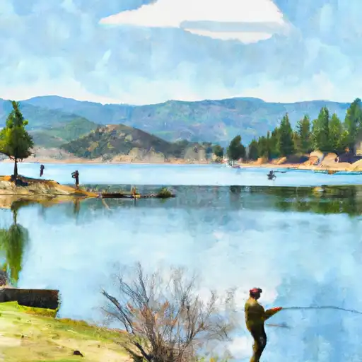
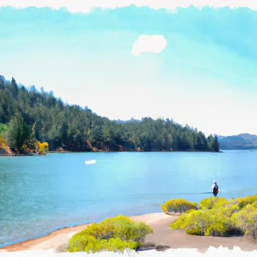
The reservoir has a capacity of 56,000 acre-feet and provides water for irrigation, domestic use, and hydroelectric power generation. The Bear River Watershed is the primary contributor to the reservoir's surface flow, with snowpack contributing to the water supply. The reservoir is operated by the Nevada Irrigation District, and its water is used for agricultural purposes such as irrigating crops like apples, grapes, and peaches. Recreational activities include fishing, boating, camping, and hiking. The reservoir is also home to various species of fish, including bass and trout, making it a popular fishing spot for locals and tourists alike.
°F
°F
mph
Wind
%
Humidity
15-Day Weather Outlook
Reservoir Details
| Storage 24hr Change | -1.0% |
| Percent of Normal | 72% |
| Minimum |
41,155.0 acre-ft
2021-10-14 |
| Maximum |
68,572.0 acre-ft
2022-12-31 |
| Average | 64,819 acre-ft |
| Nid_Height | 228 |
| Hydraulic_Height | 211 |
| Drainage_Area | 104 |
| Year_Completed | 1965 |
| Dam_Height | 228 |
| Structural_Height | 227.5 |
| Primary_Dam_Type | Earth |
| River_Or_Stream | Bear River |
| Foundations | Rock |
| Surface_Area | 828 |
| Hazard_Potential | High |
| Nid_Storage | 65988 |
| Dam_Length | 1840 |
Seasonal Comparison
Storage Levels
Pool Elevation Levels
Top Conserv Storage Levels
Inflow Levels
5-Day Hourly Forecast Detail
Nearby Streamflow Levels
 Nf American R A North Fork Dam Ca
|
1000cfs |
 Deer C Nr Smartville Ca
|
301cfs |
 Pilot C Bl Mutton Canyon Nr Georgetown Ca
|
2cfs |
 Pilot C Ab Stumpy Meadows Res Ca
|
3cfs |
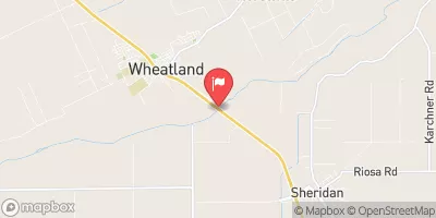 Bear R Nr Wheatland Ca
|
1780cfs |
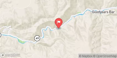 N Yuba R Bl Goodyears Bar Ca
|
480cfs |
Dam Data Reference
Condition Assessment
SatisfactoryNo existing or potential dam safety deficiencies are recognized. Acceptable performance is expected under all loading conditions (static, hydrologic, seismic) in accordance with the minimum applicable state or federal regulatory criteria or tolerable risk guidelines.
Fair
No existing dam safety deficiencies are recognized for normal operating conditions. Rare or extreme hydrologic and/or seismic events may result in a dam safety deficiency. Risk may be in the range to take further action. Note: Rare or extreme event is defined by the regulatory agency based on their minimum
Poor A dam safety deficiency is recognized for normal operating conditions which may realistically occur. Remedial action is necessary. POOR may also be used when uncertainties exist as to critical analysis parameters which identify a potential dam safety deficiency. Investigations and studies are necessary.
Unsatisfactory
A dam safety deficiency is recognized that requires immediate or emergency remedial action for problem resolution.
Not Rated
The dam has not been inspected, is not under state or federal jurisdiction, or has been inspected but, for whatever reason, has not been rated.
Not Available
Dams for which the condition assessment is restricted to approved government users.
Hazard Potential Classification
HighDams assigned the high hazard potential classification are those where failure or mis-operation will probably cause loss of human life.
Significant
Dams assigned the significant hazard potential classification are those dams where failure or mis-operation results in no probable loss of human life but can cause economic loss, environment damage, disruption of lifeline facilities, or impact other concerns. Significant hazard potential classification dams are often located in predominantly rural or agricultural areas but could be in areas with population and significant infrastructure.
Low
Dams assigned the low hazard potential classification are those where failure or mis-operation results in no probable loss of human life and low economic and/or environmental losses. Losses are principally limited to the owner's property.
Undetermined
Dams for which a downstream hazard potential has not been designated or is not provided.
Not Available
Dams for which the downstream hazard potential is restricted to approved government users.
Area Campgrounds
| Location | Reservations | Toilets |
|---|---|---|
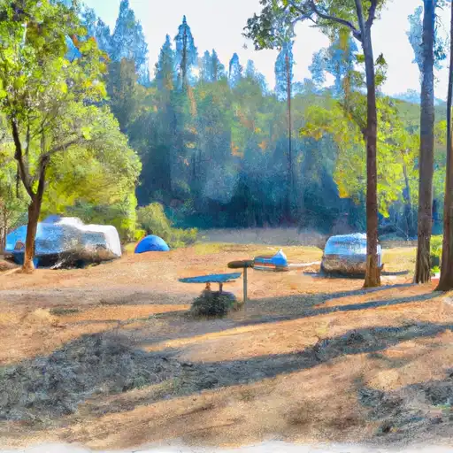 Mineral Bar - Auburn State Rec Area
|
||
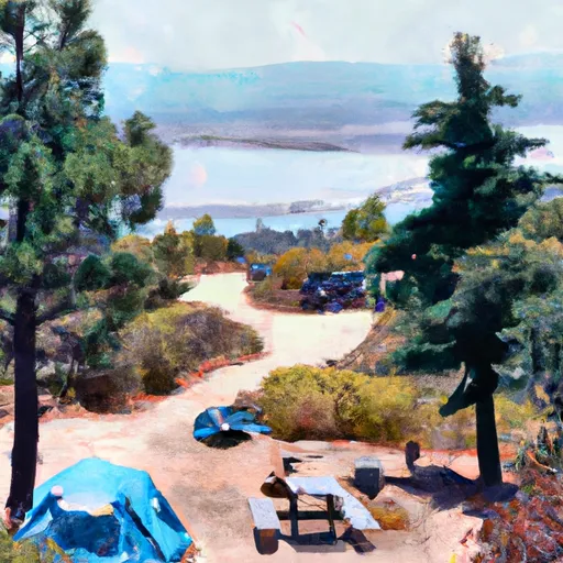 Bear River County Park
|
||
 Giant Gap Campground
|
||
 Giant Gap
|
||
 Nevada County Fairgrounds
|
||
 Camp Norge
|

 Rollins
 Rollins
 Scotts Flat
 Chamberlain Falls (Iowa Hill to Yankee Jim)
 Yankee Jim Road to Ponderosa Way (Shirttail)
 Greenwood to Mammoth Bar
 Lake of the Pines
 Lake Combie
 Scotts Flat Lake