Twitchell Reservoir reservoir
As of July 14, 2026, Twitchell Reservoir is holding 108,522 acre-ft of water. Storage data refreshed throughout the day.

Twitchell Reservoir
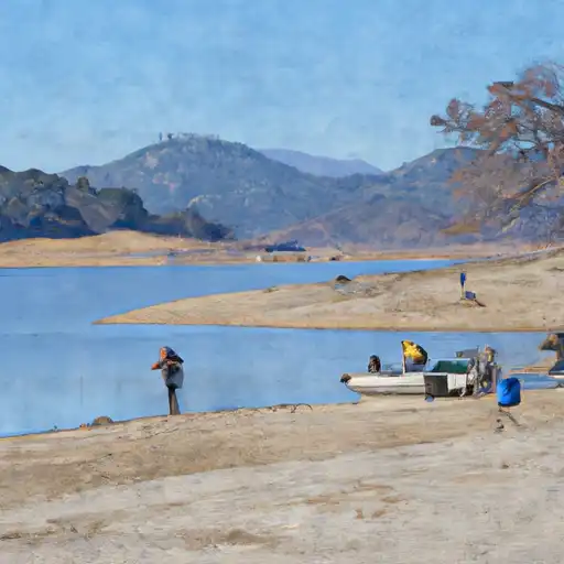
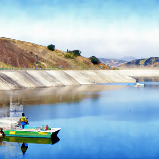
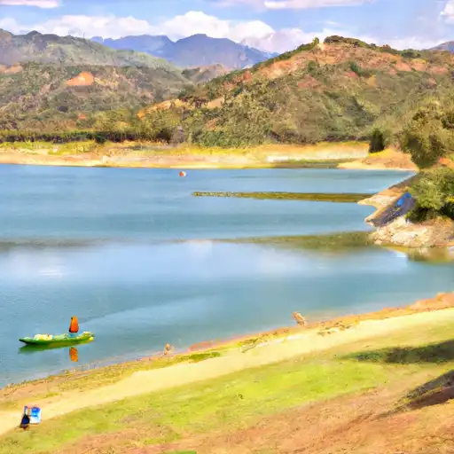
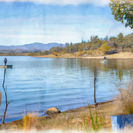
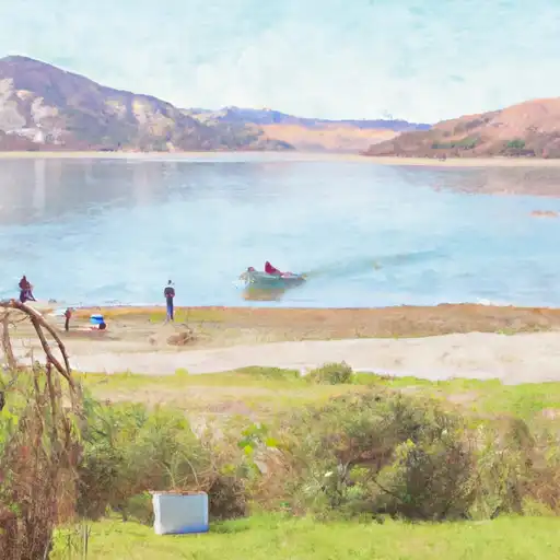
Twitchell Reservoir, located in California's San Joaquin Valley, was built in 1960 as part of the Central Valley Project. The reservoir is fed by the Kaweah River and serves as a water storage facility for irrigation and municipal water supply. The hydrology of the reservoir is heavily influenced by the surface flow of the Kaweah River and the snowpack from the nearby Sierra Nevada Mountains. The reservoir provides water to local agricultural communities and supplies drinking water to the city of Visalia. In terms of recreational use, Twitchell Reservoir is popular for fishing, boating, and camping. The reservoir has a capacity of 129,000 acre-feet and covers an area of 1,280 acres.
Daily levels at Twitchell Reservoir
Storage volume, pool elevation, and total release plotted from the operating agency's daily observations.
Storage
acre-ft · code 2
Pool Elevation
ft · code 1
Plan around the weather
Same NOAA / yr.no feed Snoflo's iOS app uses. Watch the precipitation column on the meteogram -- rain on the basin upstream typically lifts inflow 24-72 hours later.
Next 5 days, hour by hour
Temperature line with weather symbols on top, snow + rain accumulation as columns, humidity as a dotted line.
5-day forecast table
Every 3 hours, broken out across temperature, snow, rain, humidity, and wind. Each cell is colour-coded relative to the column min/max.
| Time | Condition | Temp (°F) | Snow (in) | Rain (in) | Humidity (%) | Wind (mps) | Wind dir |
|---|---|---|---|---|---|---|---|
| Loading detailed forecast… | |||||||
15-day temperature & precipitation
Daily temperatures, snow, and rain projected over the next two weeks.
Nearby streamflow gauges
USGS streamgauges around Twitchell Reservoir -- inflows here typically show up in storage 24-72 hours later.
| Streamgauge | Discharge | View |
|---|---|---|
| Santa Maria R A Suey Crossing Nr Santa Maria Ca | · | → |
| Cuyama R Bl Buckhorn Cyn Nr Santa Maria Ca | 0 cfs | → |
| Sisquoc R Nr Garey | · | → |
| Huasna R Nr Arroyo Grande Ca | 1 cfs | → |
| Orcutt C Nr Orcutt Ca | 0 cfs | → |
| Sisquoc R Nr Sisquoc Ca | 206 cfs | → |


About Twitchell Reservoir
Where does the data for Twitchell Reservoir come from?
Daily storage, pool elevation, and release rates are sourced from USGS, USBR, and USACE monitoring stations. Weather forecast comes from NOAA / yr.no -- the same feed Snoflo's iOS app uses.
How often is the report updated?
Storage observations are updated daily by the operating agency. The 15-day weather forecast refreshes throughout the day. Snoflo caches and renders the most recent observation -- check the "as of" timestamp on the storage card.
What does the Hazard hazard rating mean?
The Corps of Engineers' hazard potential classification grades probable consequences if the dam fails: High = probable loss of human life; Significant = no probable loss of human life but possible economic loss / environmental damage; Low = no probable loss of human life, only minor economic / environmental losses. See the Dam Data Reference card below for the full definitions.
What's "% of normal"?
The current storage value compared to the historical average storage on this calendar day. 100% = right on average; values above 100% mean above-normal storage (wet year); values below mean below-normal (dry year or drought).
Can I get alerts when storage crosses a threshold?
Yes -- alerts are managed in the Snoflo iOS app. Favorite this reservoir, set a threshold, and you'll get a push the moment conditions cross.