Uvas Reservoir Reservoir
As of July 20, 2026, Uvas Reservoir is holding 8,121 acre-ft of water — 98% of normal storage for this date. Storage data refreshed throughout the day.

Uvas Reservoir
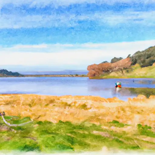
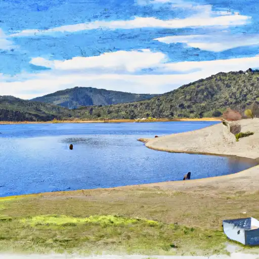
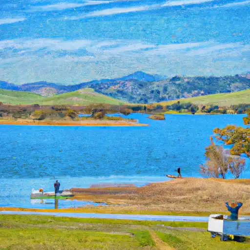
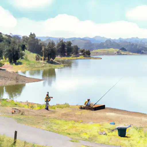
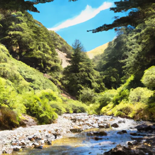
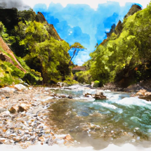
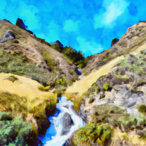
Uvas Reservoir is a man-made lake located in Santa Clara County, California. The reservoir was created in 1957 as a part of the Uvas-Carnadero Project, which was designed to provide water to agricultural and urban users. The reservoir has a capacity of 22,000 acre-feet and is supplied by both surface flow from Uvas Creek and snowmelt from the nearby Santa Cruz Mountains. The water from the reservoir is used for irrigation and drinking water purposes. The surrounding area is also used for agricultural purposes, including the production of grapes, almonds, and hay. Additionally, the reservoir is used for recreational activities such as fishing, boating, and hiking. The Uvas Reservoir plays an important role in both the hydrology and economy of Santa Clara County.
Daily levels at Uvas Reservoir
Storage volume, pool elevation, and total release plotted from the operating agency's daily observations.
Storage
acre-ft · code 2
Pool Elevation
ft · code 1
Plan around the weather
Same NOAA / yr.no feed Snoflo's iOS app uses. Watch the precipitation column on the meteogram -- rain on the basin upstream typically lifts inflow 24-72 hours later.
Next 5 days, hour by hour
Temperature line with weather symbols on top, snow + rain accumulation as columns, humidity as a dotted line.
5-day forecast table
Every 3 hours, broken out across temperature, snow, rain, humidity, and wind. Each cell is colour-coded relative to the column min/max.
| Time | Condition | Temp (°F) | Snow (in) | Rain (in) | Humidity (%) | Wind (mps) | Wind dir |
|---|---|---|---|---|---|---|---|
| Loading detailed forecast… | |||||||
15-day temperature & precipitation
Daily temperatures, snow, and rain projected over the next two weeks.
Nearby streamflow gauges
USGS streamgauges around Uvas Reservoir -- inflows here typically show up in storage 24-72 hours later.
| Streamgauge | Discharge | View |
|---|---|---|
| Coyote C Bl Coyote Res Nr San Martin Ca | 7 cfs | → |
| Corralitos C A Freedom Ca | 0 cfs | → |
| Llagas C Nr Gilroy | 12 cfs | → |
| Coyote C Nr Gilroy Ca | · | → |
| Pajaro R A Chittenden Ca | 14 cfs | → |
| Soquel C A Soquel Ca | 5 cfs | → |


About Uvas Reservoir
Where does the data for Uvas Reservoir come from?
Daily storage, pool elevation, and release rates are sourced from USGS, USBR, and USACE monitoring stations. Weather forecast comes from NOAA / yr.no -- the same feed Snoflo's iOS app uses.
How often is the report updated?
Storage observations are updated daily by the operating agency. The 15-day weather forecast refreshes throughout the day. Snoflo caches and renders the most recent observation -- check the "as of" timestamp on the storage card.
What does the Hazard hazard rating mean?
The Corps of Engineers' hazard potential classification grades probable consequences if the dam fails: High = probable loss of human life; Significant = no probable loss of human life but possible economic loss / environmental damage; Low = no probable loss of human life, only minor economic / environmental losses. See the Dam Data Reference card below for the full definitions.
What's "% of normal"?
The current storage value compared to the historical average storage on this calendar day. 100% = right on average; values above 100% mean above-normal storage (wet year); values below mean below-normal (dry year or drought).
Can I get alerts when storage crosses a threshold?
Yes -- alerts are managed in the Snoflo iOS app. Favorite this reservoir, set a threshold, and you'll get a push the moment conditions cross.