
Don Pedro Main Reservoir Report
Nearby: Don Pedro Dike A Don Pedro Dike B
Last Updated: December 28, 2025
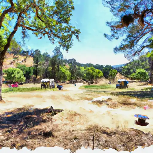
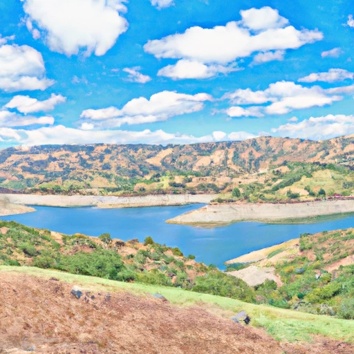
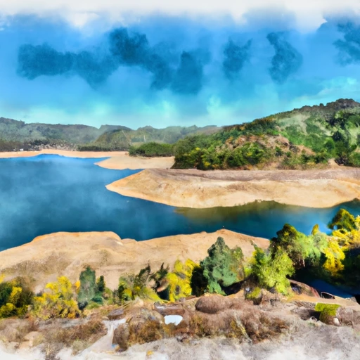
Don Pedro Main, located in La Grange, California, is a vital public utility structure on the Tuolumne River that serves multiple purposes such as hydroelectric power generation, irrigation, flood risk reduction, and recreation.
°F
°F
mph
Wind
%
Humidity
Summary
Designed by Bechtel and completed in 1971, this earth dam stands at a height of 585 feet with a storage capacity of 2.3 million acre-feet and a surface area of 13,000 acres. Managed by the Federal Energy Regulatory Commission, the dam has a controlled spillway width of 1130 feet and three Tainter radial gates for water release.
Despite its high hazard potential, with a very high risk assessment rating, Don Pedro Main is closely monitored and inspected by state and federal agencies to ensure its safety and regulatory compliance. The dam is under the jurisdiction of the California Department of Water Resources' Safety of Dams division, with regular state inspections and enforcement activities in place. Additionally, the dam's emergency action plan is regularly updated, with a last revision date in December 2020, to meet guidelines and ensure preparedness for any potential emergencies.
With its significant role in water resource management and climate adaptation efforts, Don Pedro Main remains a critical infrastructure in California's water supply system. Its operational features, including a large storage capacity, controlled spillway, and multiple outlets, contribute to water supply reliability, flood control, and environmental conservation in the region. As water resource and climate enthusiasts, understanding the design, purpose, and regulation of structures like Don Pedro Main is essential for ensuring sustainable water management practices and resilience to future climate challenges.
Year Completed |
1971 |
Dam Length |
1900 |
Dam Height |
585 |
River Or Stream |
Tuolumne River |
Primary Dam Type |
Earth |
Surface Area |
13000 |
Hydraulic Height |
560 |
Drainage Area |
1540 |
Nid Storage |
2300000 |
Structural Height |
585 |
Outlet Gates |
Tainter (radial) - 3 |
Hazard Potential |
High |
Foundations |
Rock |
Nid Height |
585 |
Seasonal Comparison
Weather Forecast
Nearby Streamflow Levels

Dam Data Reference
Condition Assessment
SatisfactoryNo existing or potential dam safety deficiencies are recognized. Acceptable performance is expected under all loading conditions (static, hydrologic, seismic) in accordance with the minimum applicable state or federal regulatory criteria or tolerable risk guidelines.
Fair
No existing dam safety deficiencies are recognized for normal operating conditions. Rare or extreme hydrologic and/or seismic events may result in a dam safety deficiency. Risk may be in the range to take further action. Note: Rare or extreme event is defined by the regulatory agency based on their minimum
Poor A dam safety deficiency is recognized for normal operating conditions which may realistically occur. Remedial action is necessary. POOR may also be used when uncertainties exist as to critical analysis parameters which identify a potential dam safety deficiency. Investigations and studies are necessary.
Unsatisfactory
A dam safety deficiency is recognized that requires immediate or emergency remedial action for problem resolution.
Not Rated
The dam has not been inspected, is not under state or federal jurisdiction, or has been inspected but, for whatever reason, has not been rated.
Not Available
Dams for which the condition assessment is restricted to approved government users.
Hazard Potential Classification
HighDams assigned the high hazard potential classification are those where failure or mis-operation will probably cause loss of human life.
Significant
Dams assigned the significant hazard potential classification are those dams where failure or mis-operation results in no probable loss of human life but can cause economic loss, environment damage, disruption of lifeline facilities, or impact other concerns. Significant hazard potential classification dams are often located in predominantly rural or agricultural areas but could be in areas with population and significant infrastructure.
Low
Dams assigned the low hazard potential classification are those where failure or mis-operation results in no probable loss of human life and low economic and/or environmental losses. Losses are principally limited to the owner's property.
Undetermined
Dams for which a downstream hazard potential has not been designated or is not provided.
Not Available
Dams for which the downstream hazard potential is restricted to approved government users.
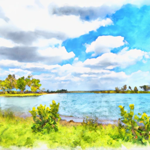
Area Campgrounds
| Location | Reservations | Toilets |
|---|---|---|
 Blue Oaks - Don Pedro Rec Area
|
||
 Fleming Meadow - Don Pedro Rec Area
|
||
 Barrett Cove Rec Area
|
||
 Horseshoe Bend Rec Area
|
||
 C25
C25
|
||
 C27
C27
|
 Don Pedro Main
 Don Pedro Res Nr La Grange Ca
 Don Pedro Reservoir
 Turlock Lake
 New Exchequer-Lk Mcclure