
Poison Springs Reservoir Report
Last Updated: December 25, 2025
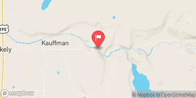
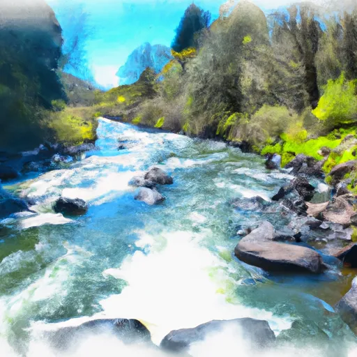
Poison Springs, also known as Fee Reservoir, is a privately owned dam located in Modoc, California, along Rock Creek.
°F
°F
mph
Wind
%
Humidity
Summary
Built in 1957 for flood risk reduction, irrigation, and water supply, this earth dam stands at 43 feet tall with a hydraulic height of 36 feet. Covering a surface area of 493 acres and having a drainage area of 48.5 square miles, Poison Springs has a storage capacity of 7,120 acre-feet.
Managed by the Natural Resources Conservation Service, Poison Springs has been inspected regularly, with its last assessment in September 2017 deeming its condition satisfactory and its hazard potential low. Despite its remote location in the northeast corner of California, the dam plays a crucial role in managing water resources for the surrounding area. With state regulation in place for permitting, inspection, and enforcement, Poison Springs continues to serve its primary purpose of flood risk reduction while supporting irrigation and water supply needs.
Water resource and climate enthusiasts can appreciate the significance of Poison Springs in maintaining water security and mitigating flood risks in the region. Its strategic location and design demonstrate the importance of effectively managing dams for multiple purposes while ensuring compliance with state regulations to protect both the dam's integrity and the surrounding environment. Through regular inspections and maintenance, Poison Springs continues to be a vital asset for water management in Modoc, California.
Year Completed |
1957 |
Dam Length |
1000 |
Dam Height |
43 |
River Or Stream |
Rock Creek |
Primary Dam Type |
Earth |
Surface Area |
493 |
Hydraulic Height |
36 |
Drainage Area |
48.5 |
Nid Storage |
7120 |
Hazard Potential |
Low |
Nid Height |
43 |
Seasonal Comparison
Weather Forecast
Nearby Streamflow Levels
 Sf Pit R Nr Likely Ca
|
28cfs |
 Pit R Nr Canby Ca
|
1110cfs |
 Mahogany Creek Near Summit Lake
|
2cfs |
Dam Data Reference
Condition Assessment
SatisfactoryNo existing or potential dam safety deficiencies are recognized. Acceptable performance is expected under all loading conditions (static, hydrologic, seismic) in accordance with the minimum applicable state or federal regulatory criteria or tolerable risk guidelines.
Fair
No existing dam safety deficiencies are recognized for normal operating conditions. Rare or extreme hydrologic and/or seismic events may result in a dam safety deficiency. Risk may be in the range to take further action. Note: Rare or extreme event is defined by the regulatory agency based on their minimum
Poor A dam safety deficiency is recognized for normal operating conditions which may realistically occur. Remedial action is necessary. POOR may also be used when uncertainties exist as to critical analysis parameters which identify a potential dam safety deficiency. Investigations and studies are necessary.
Unsatisfactory
A dam safety deficiency is recognized that requires immediate or emergency remedial action for problem resolution.
Not Rated
The dam has not been inspected, is not under state or federal jurisdiction, or has been inspected but, for whatever reason, has not been rated.
Not Available
Dams for which the condition assessment is restricted to approved government users.
Hazard Potential Classification
HighDams assigned the high hazard potential classification are those where failure or mis-operation will probably cause loss of human life.
Significant
Dams assigned the significant hazard potential classification are those dams where failure or mis-operation results in no probable loss of human life but can cause economic loss, environment damage, disruption of lifeline facilities, or impact other concerns. Significant hazard potential classification dams are often located in predominantly rural or agricultural areas but could be in areas with population and significant infrastructure.
Low
Dams assigned the low hazard potential classification are those where failure or mis-operation results in no probable loss of human life and low economic and/or environmental losses. Losses are principally limited to the owner's property.
Undetermined
Dams for which a downstream hazard potential has not been designated or is not provided.
Not Available
Dams for which the downstream hazard potential is restricted to approved government users.
 Poison Springs
 Twelvemile Creek